Urko Route | From Markina-Xemein to Etxebarria
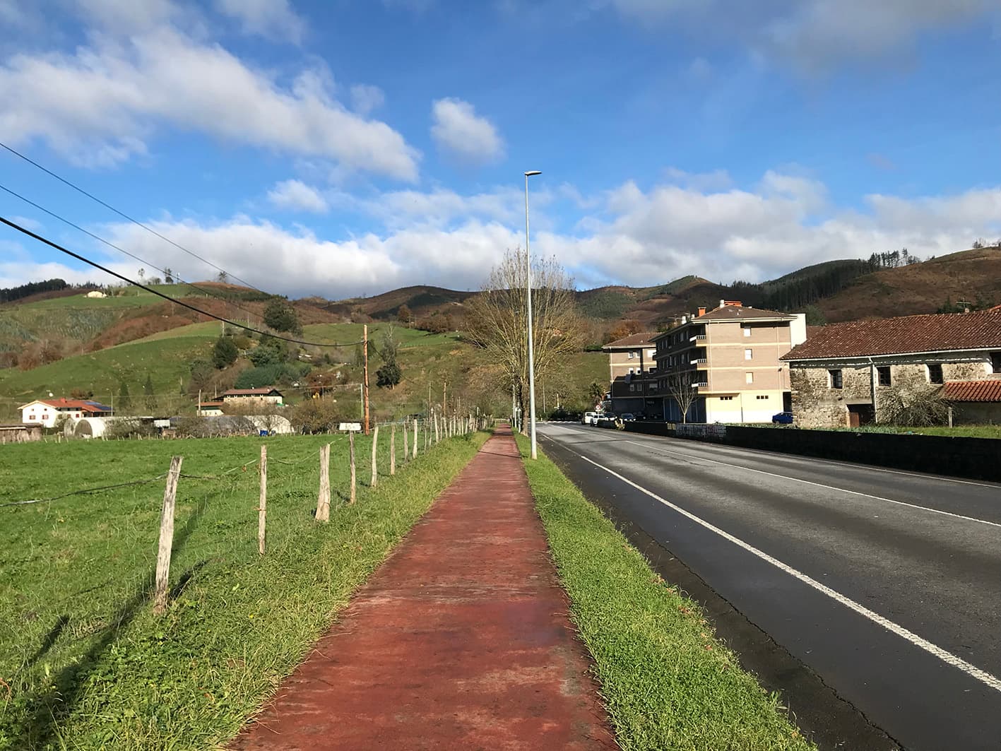
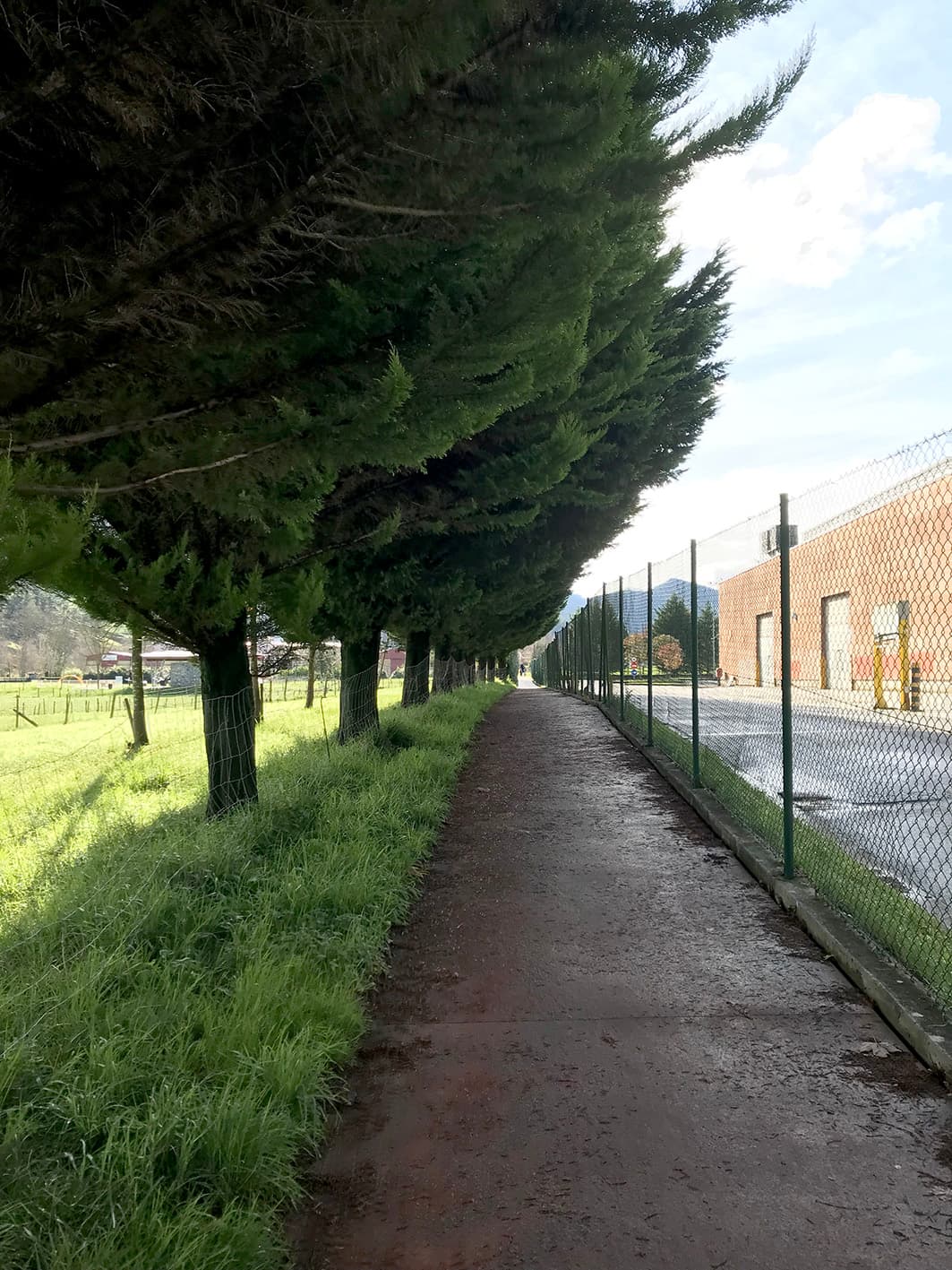
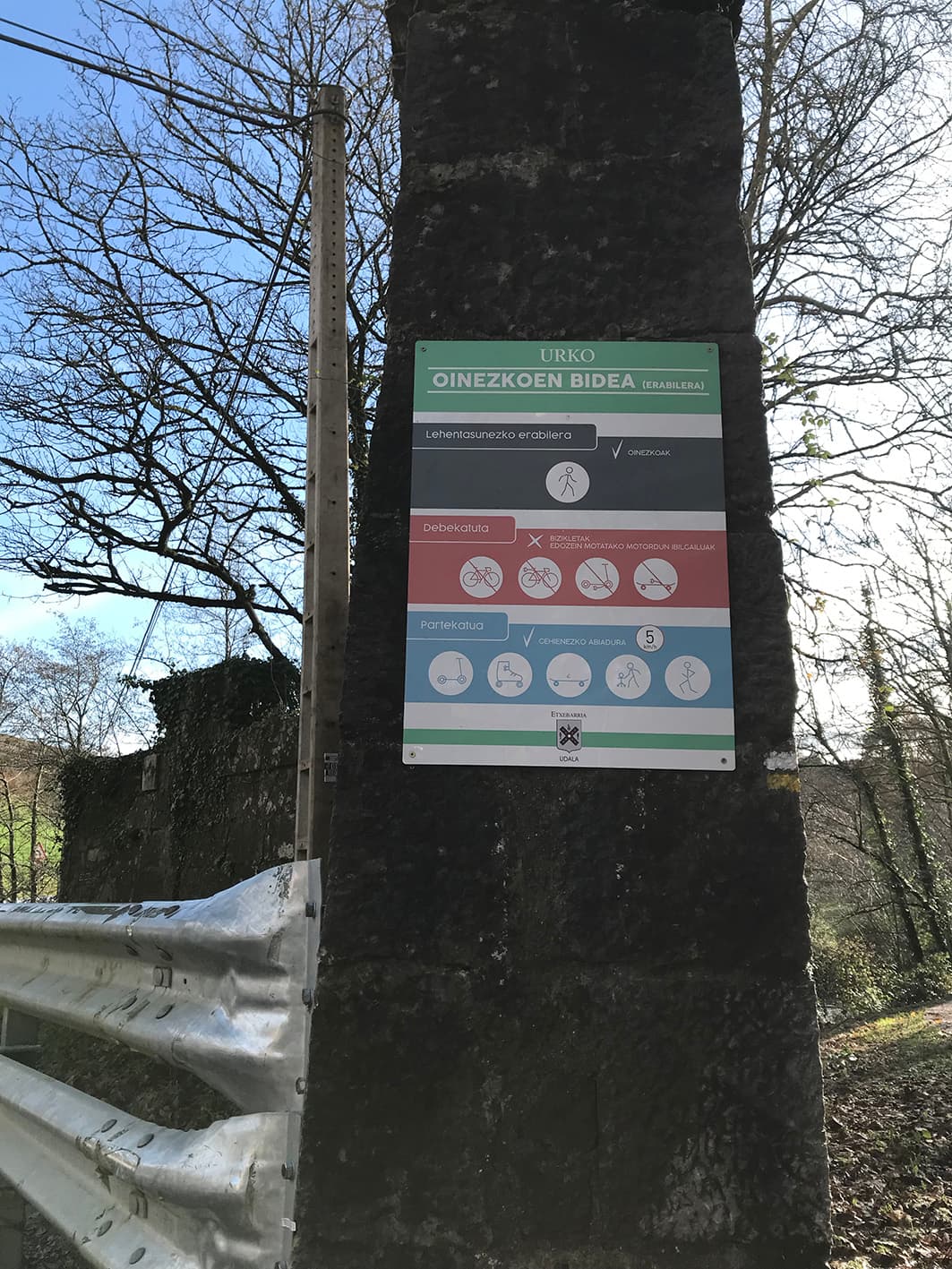
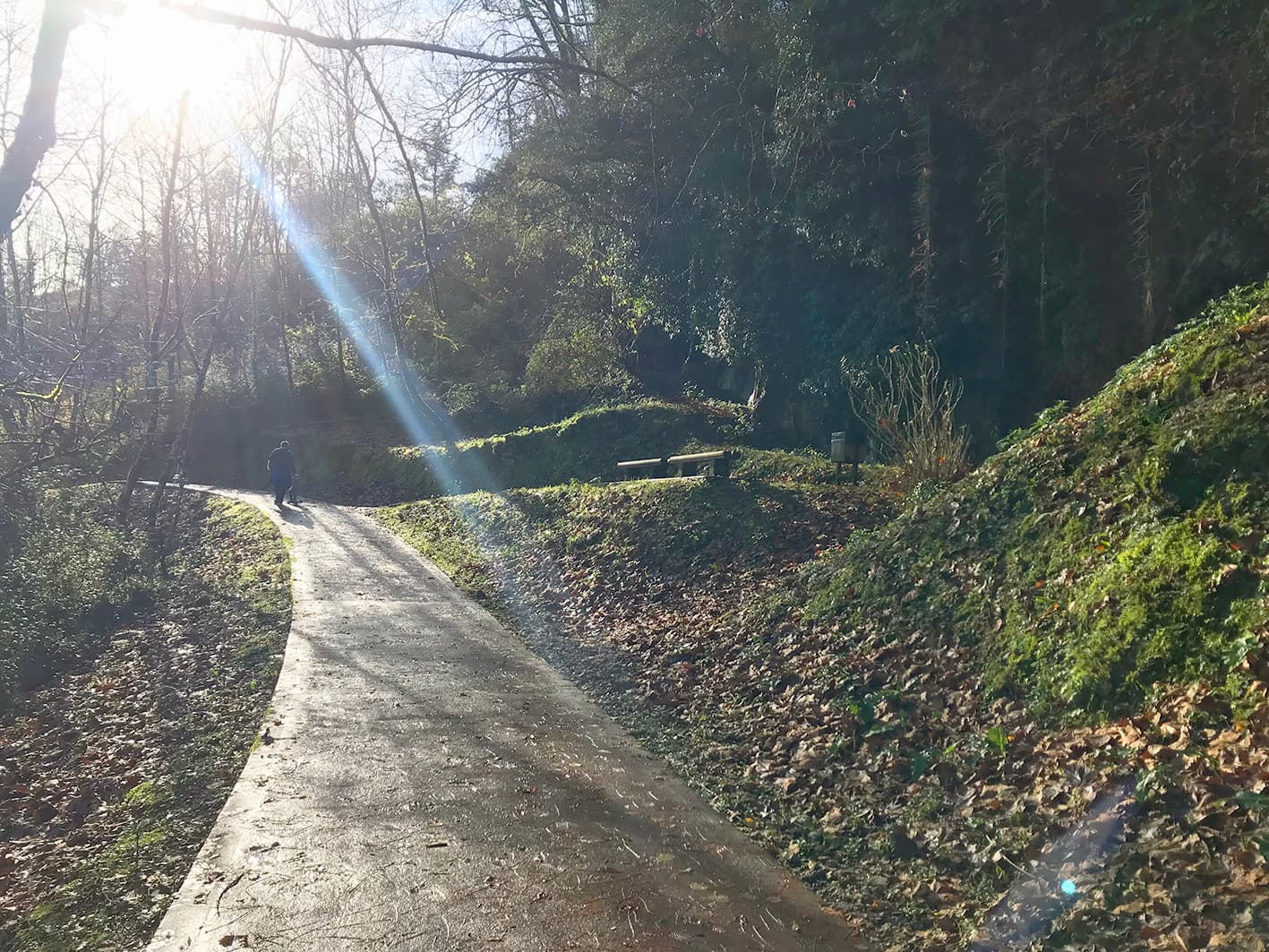
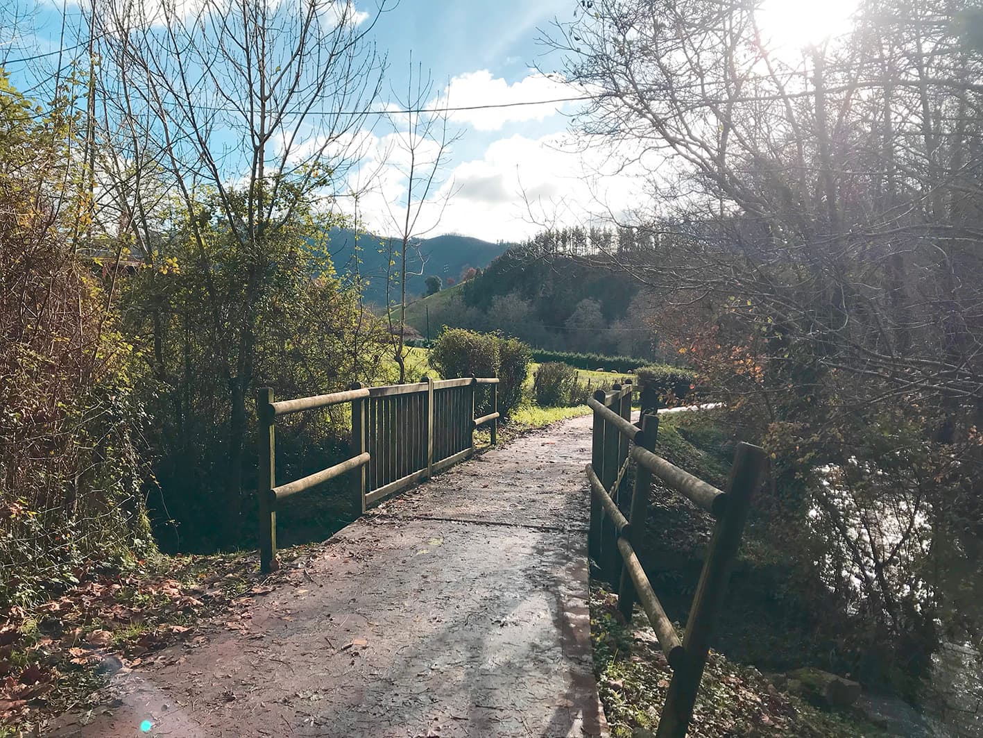
The Urko Route is a path (bidegorri) linking the towns of Markina-Xemein and Etxebarria. Pedestrians have priority on this route, but scooters, skateboards and roller skates are permitted at a maximum speed of 5 km/h. Bicycles and all types of motorised vehicles are prohibited.
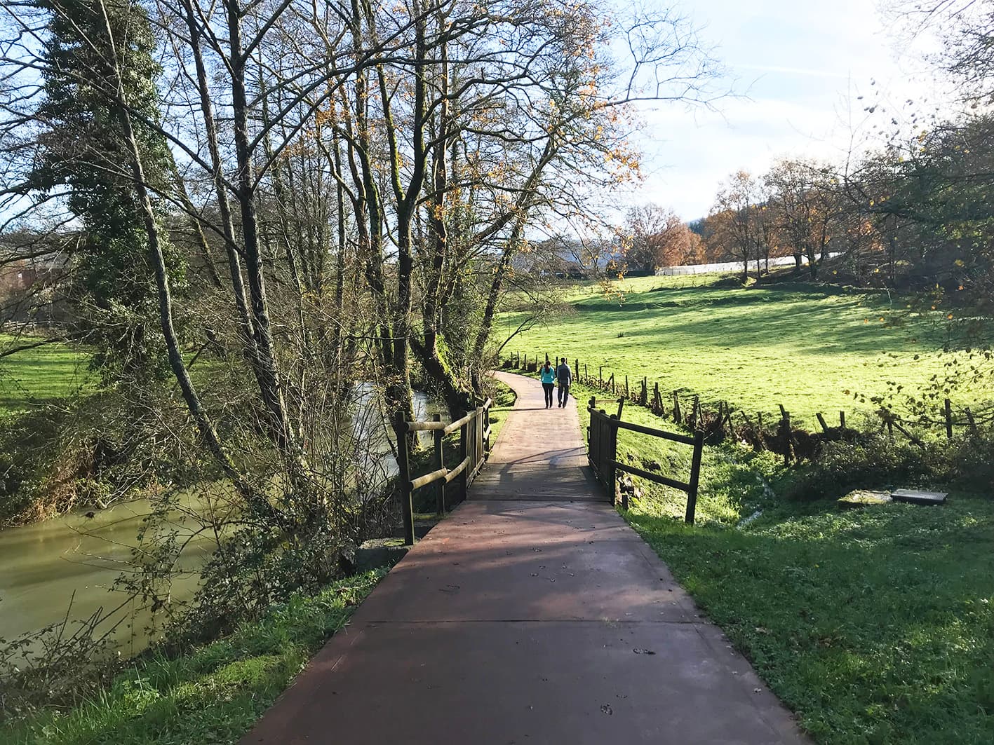
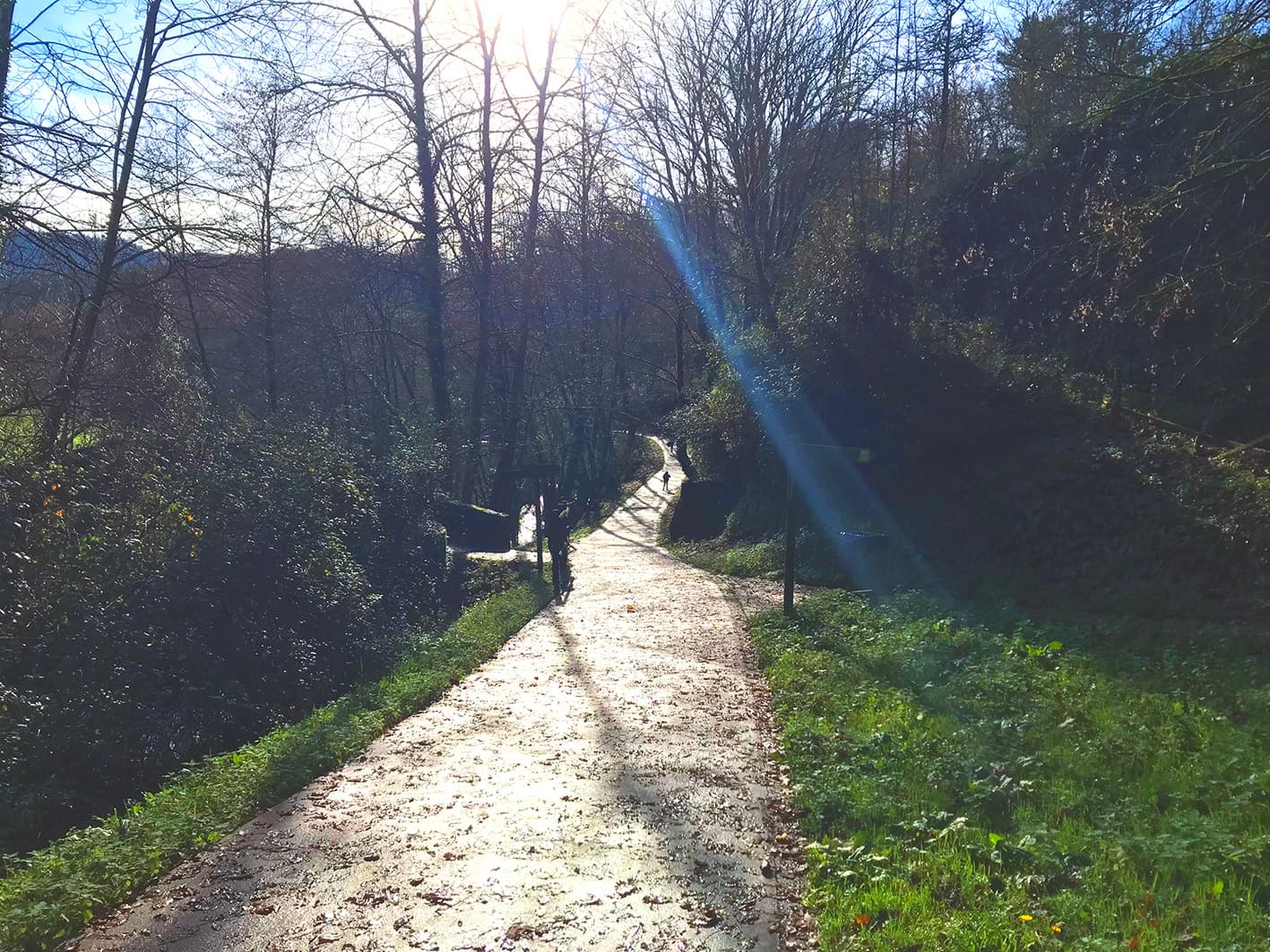
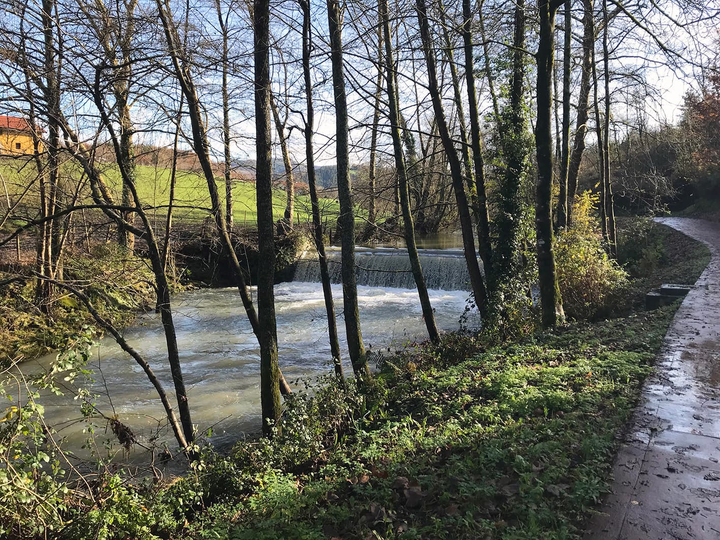
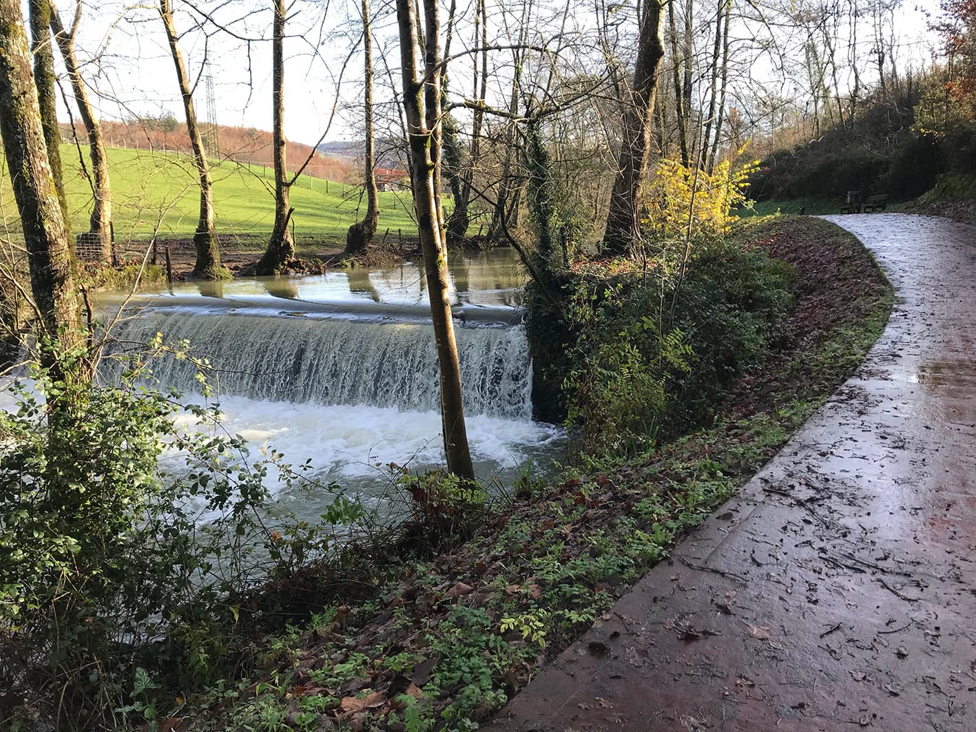
This path, which runs alongside the River Urko, is used by many residents of Markina-Xemein and Etxebarria for walking and running
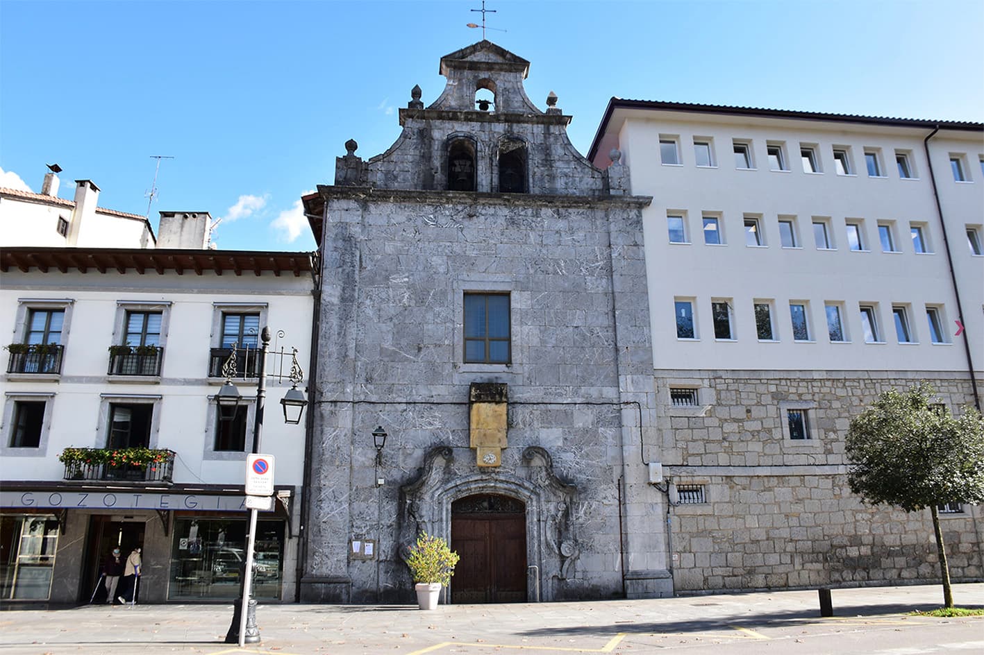
Starting from Markina-Xemein
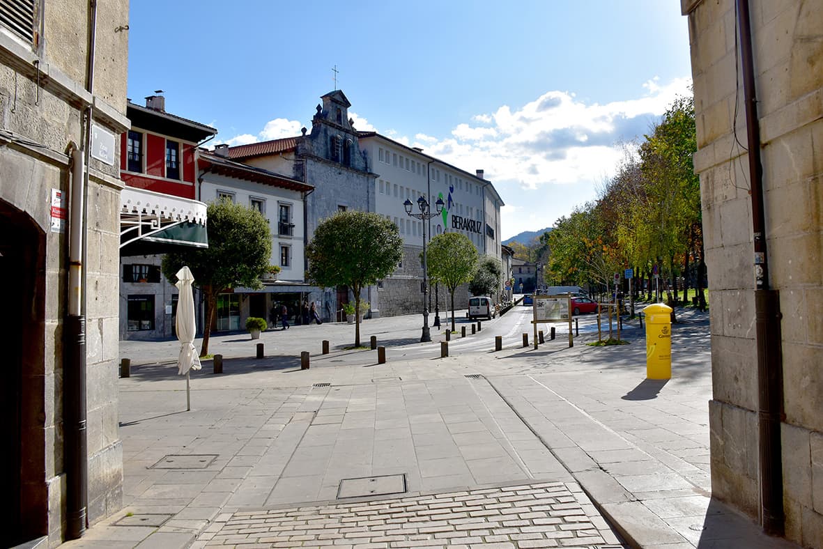
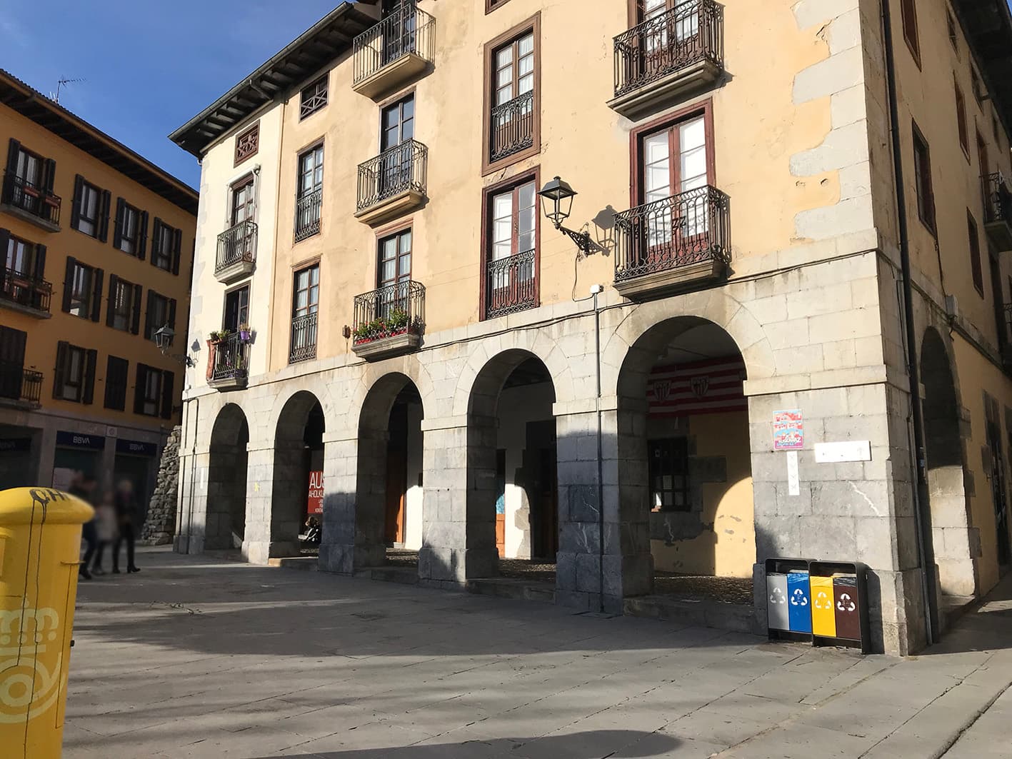
From the centre of Markina-Xemein, we’ll set off on the Urko route. Specifically, from the Portal de Irureta or the Prado area (Zelaigunea).
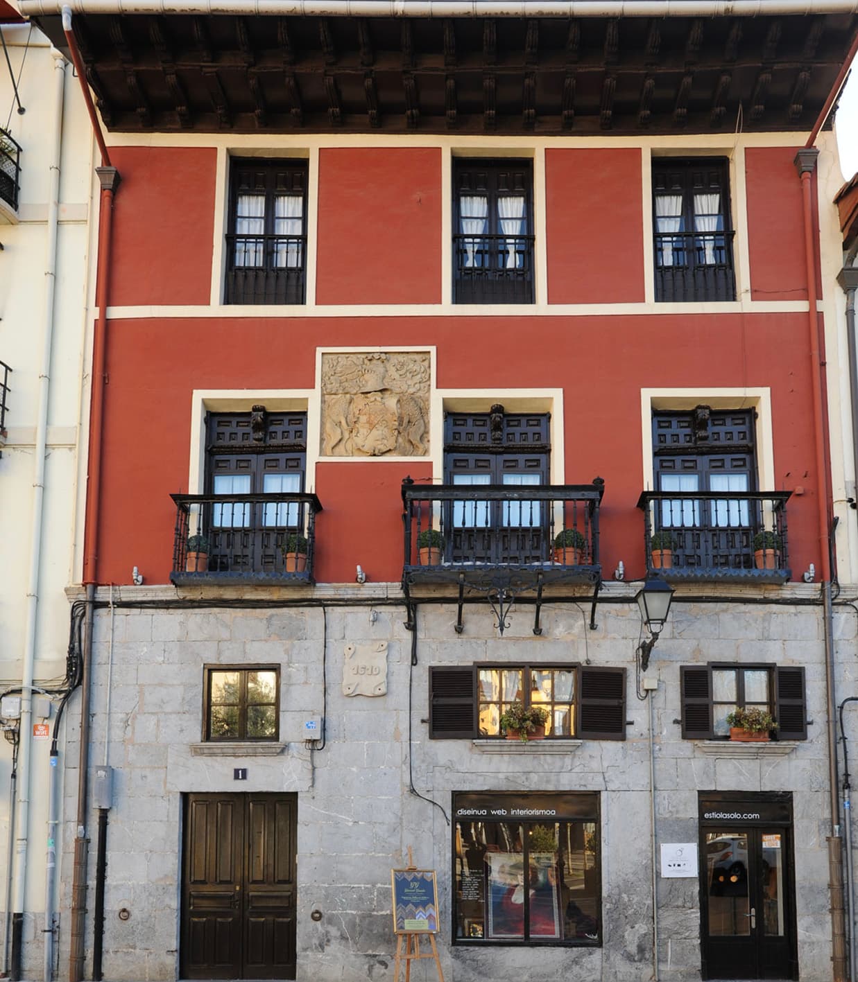
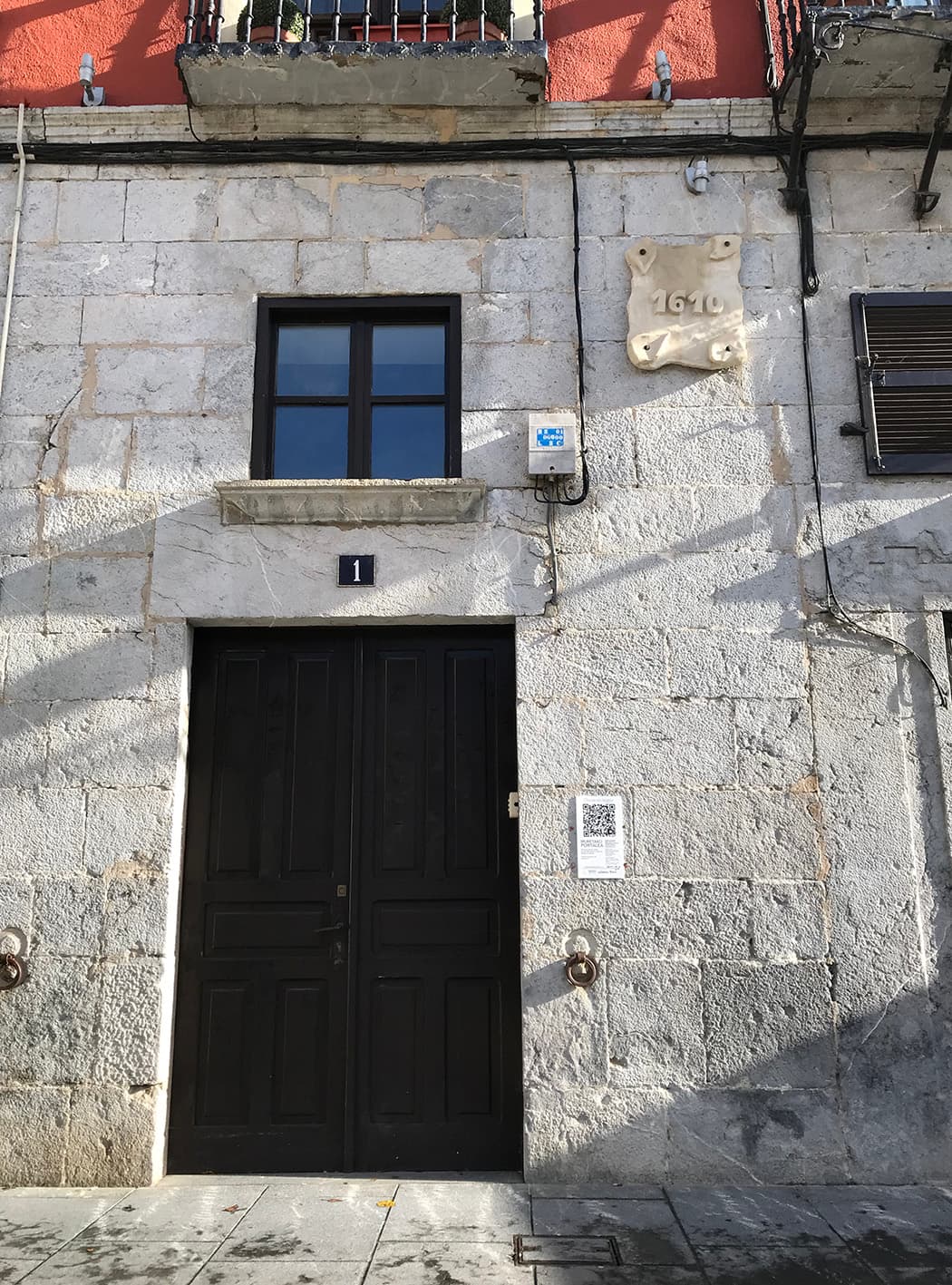
Here we’ll find buildings of interest, including:
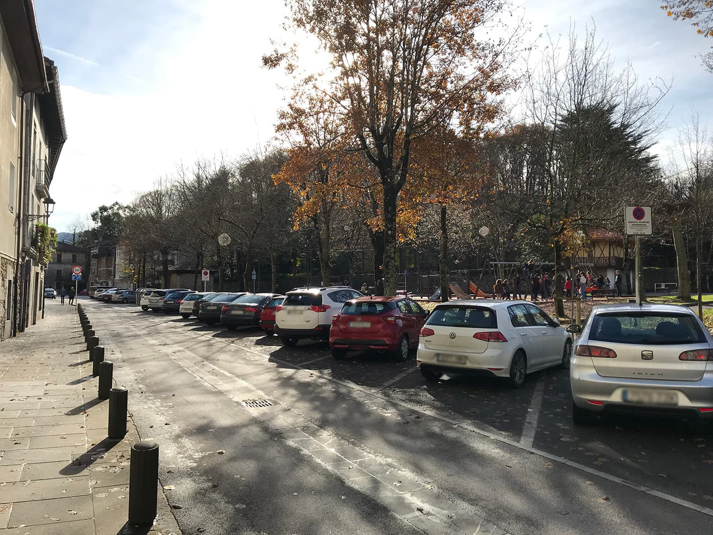
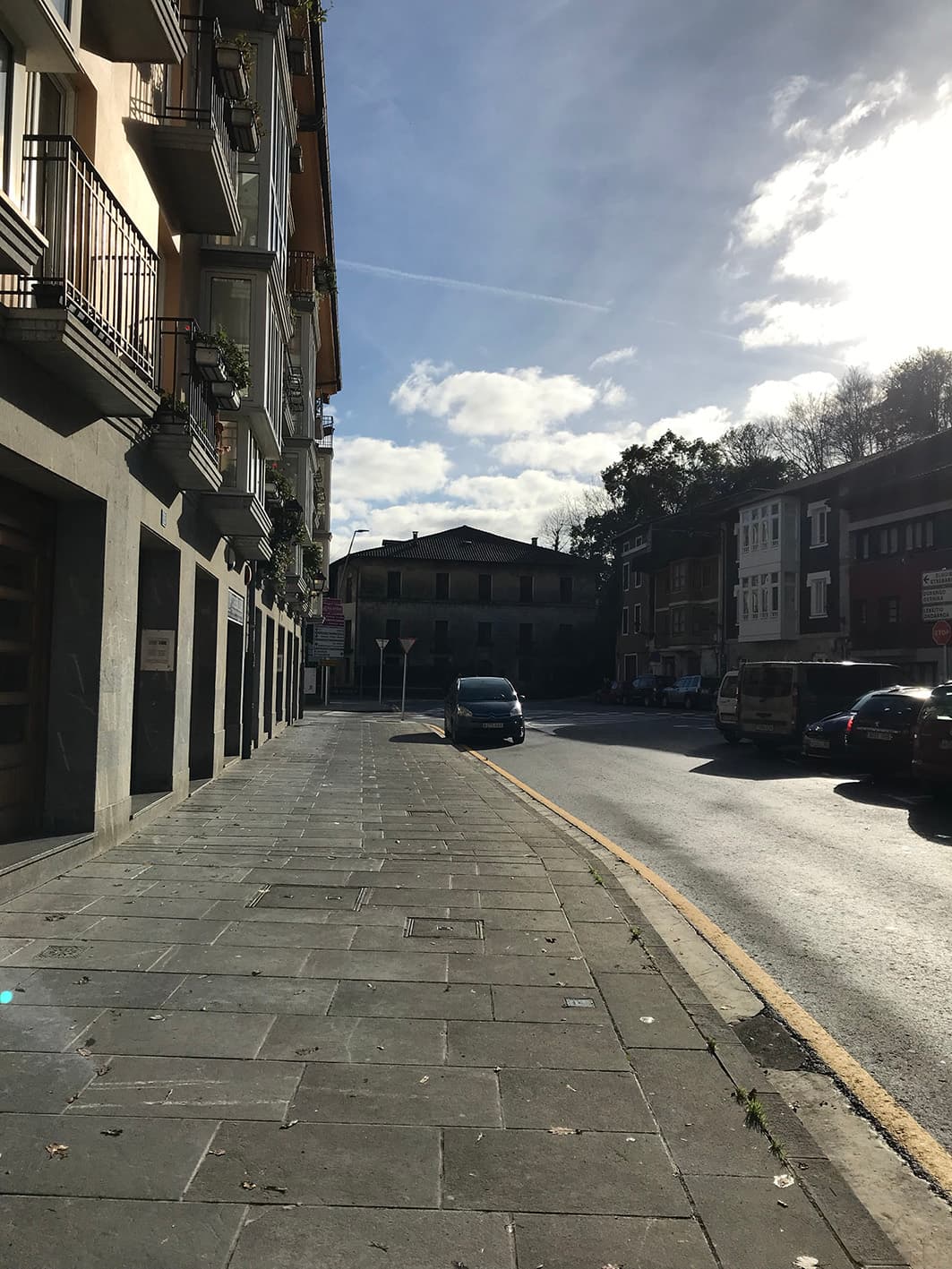
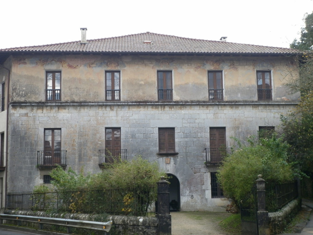
Lower part of the Prado (Zelaia)
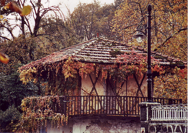
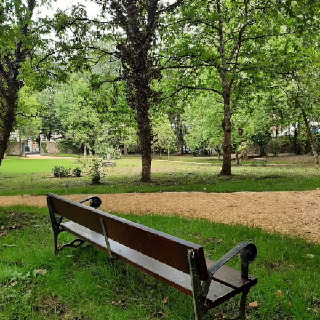
We set off from the lower part of the Prado (Zelaia), situated in the centre of Markina-Xemein. We pass the playground (swings) and carry on straight ahead. At the top of the Prado, you can visit Torre Bidarte Park. This public park is the woodland surrounding Murga Palace. Specifically, at the end of the esplanade stands the building known as Murga Palace or Torre Bidarte. Murga Palace is a Baroque palace that conceals a medieval tower. The building is constructed of ashlar masonry up to the first floor, whilst the second floor features Rococo-style paintings.
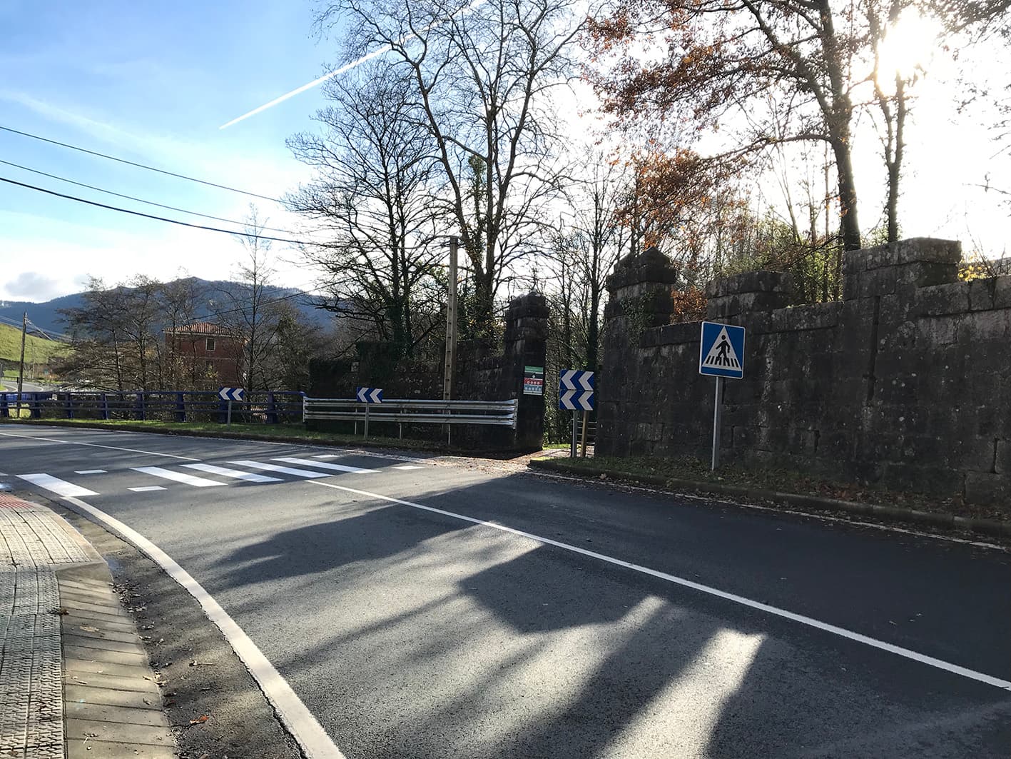
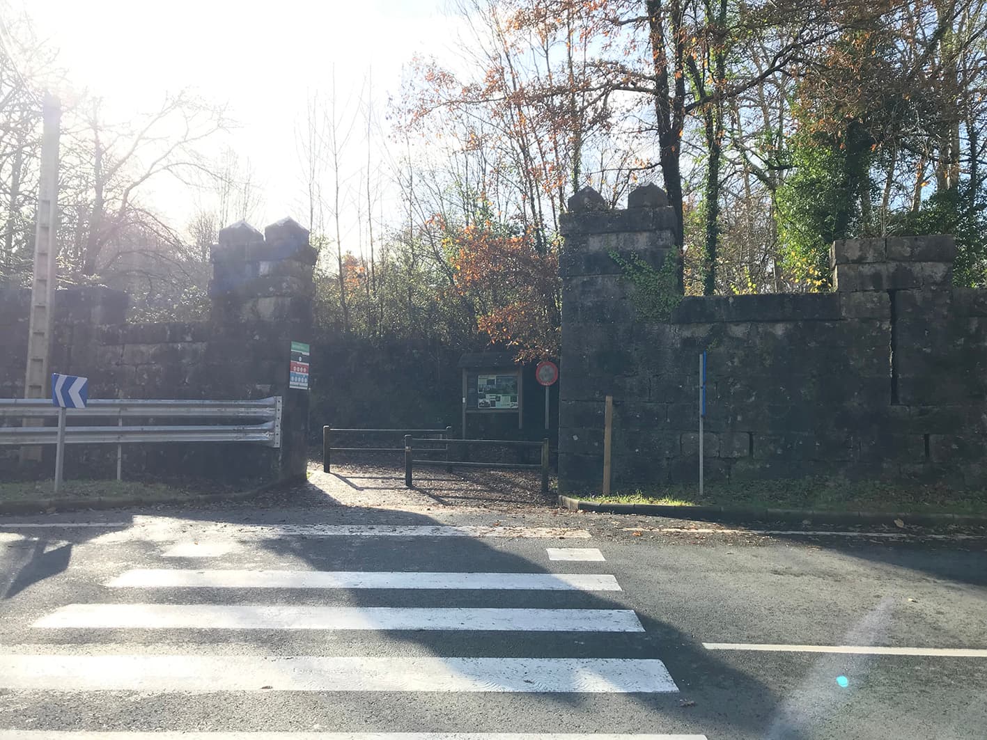

Start of the Urko route
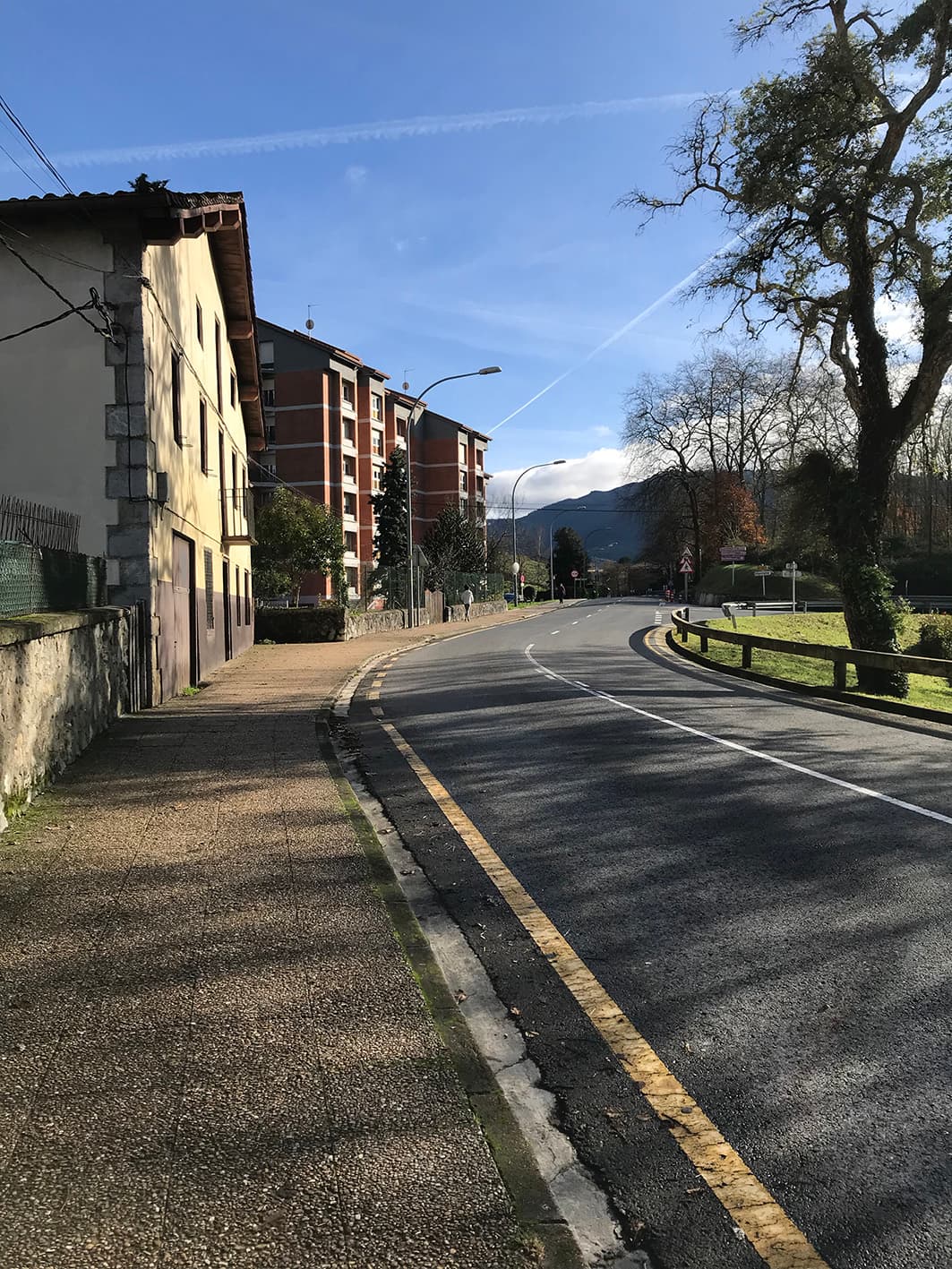
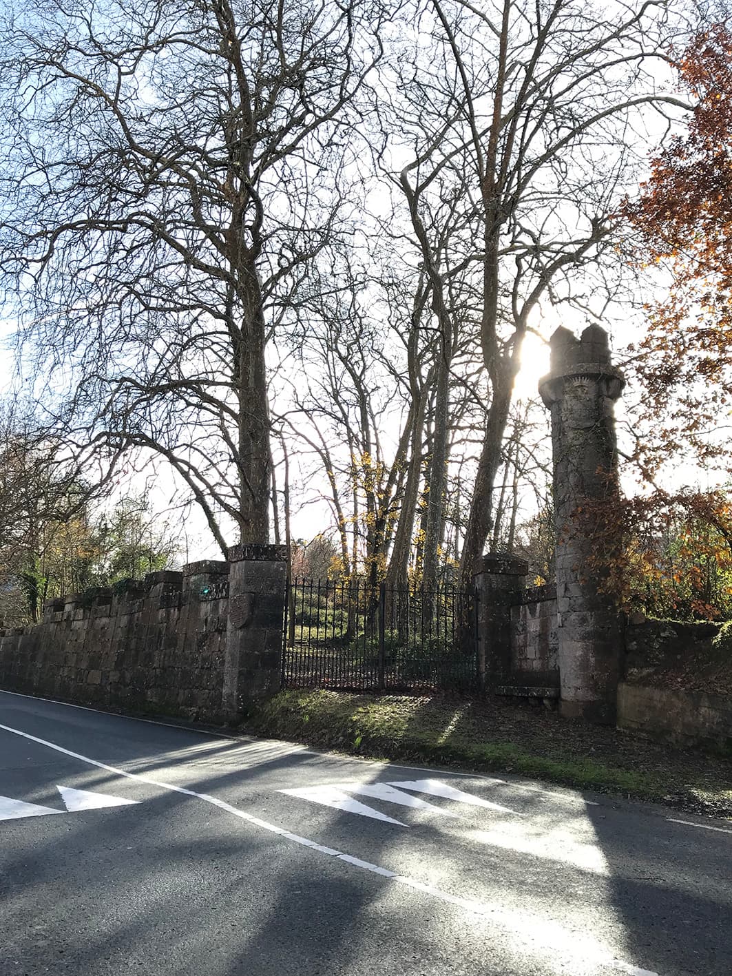
The start of the Urko route is situated within one of the walled sections of Munibe Palace. Here you will find three information panels:
- Notes on using the Urko footpath.
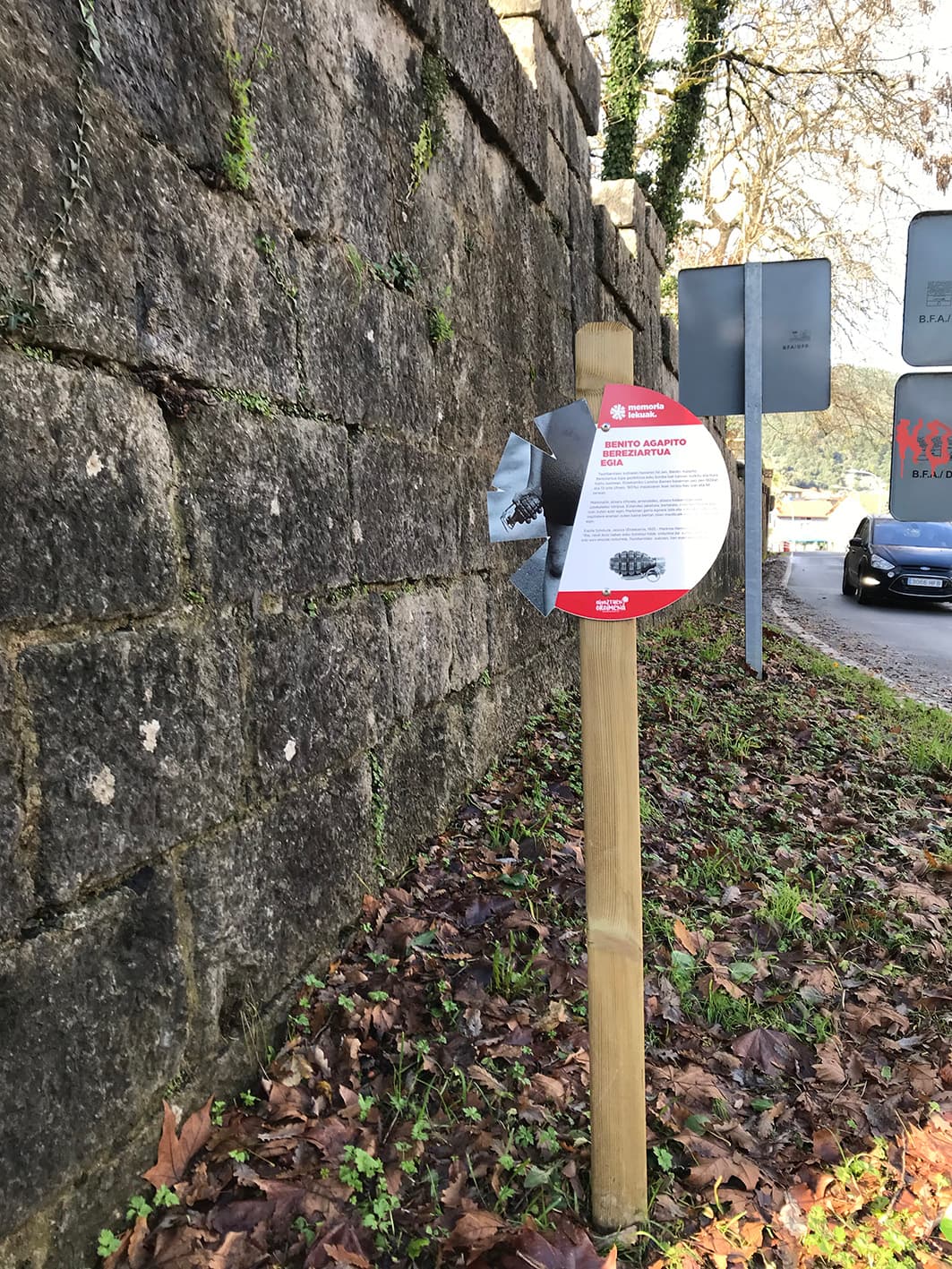
- Memoria Lekuak/Places of Memory: this is a project launched by the Ahaztuen Oroimena Association (Memory of the Forgotten) in Etxebarria. An initiative designed to shed light on years of silence and to remember the people of Etxebarria who were killed during the Civil War. The first, at the start of this route, is that of Benito Agapito Bereziartua.
- Information panel at the Munibe Palace.
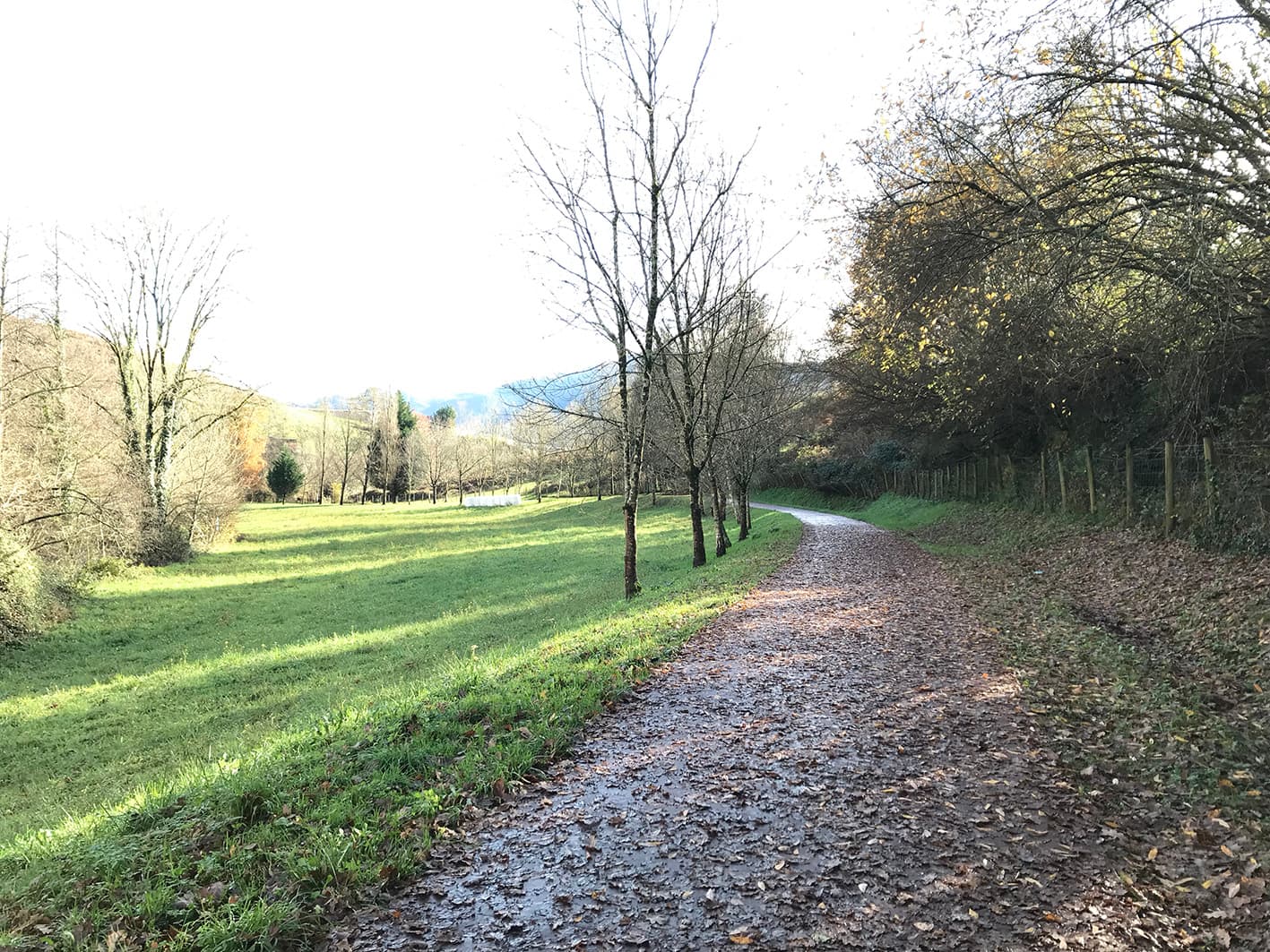
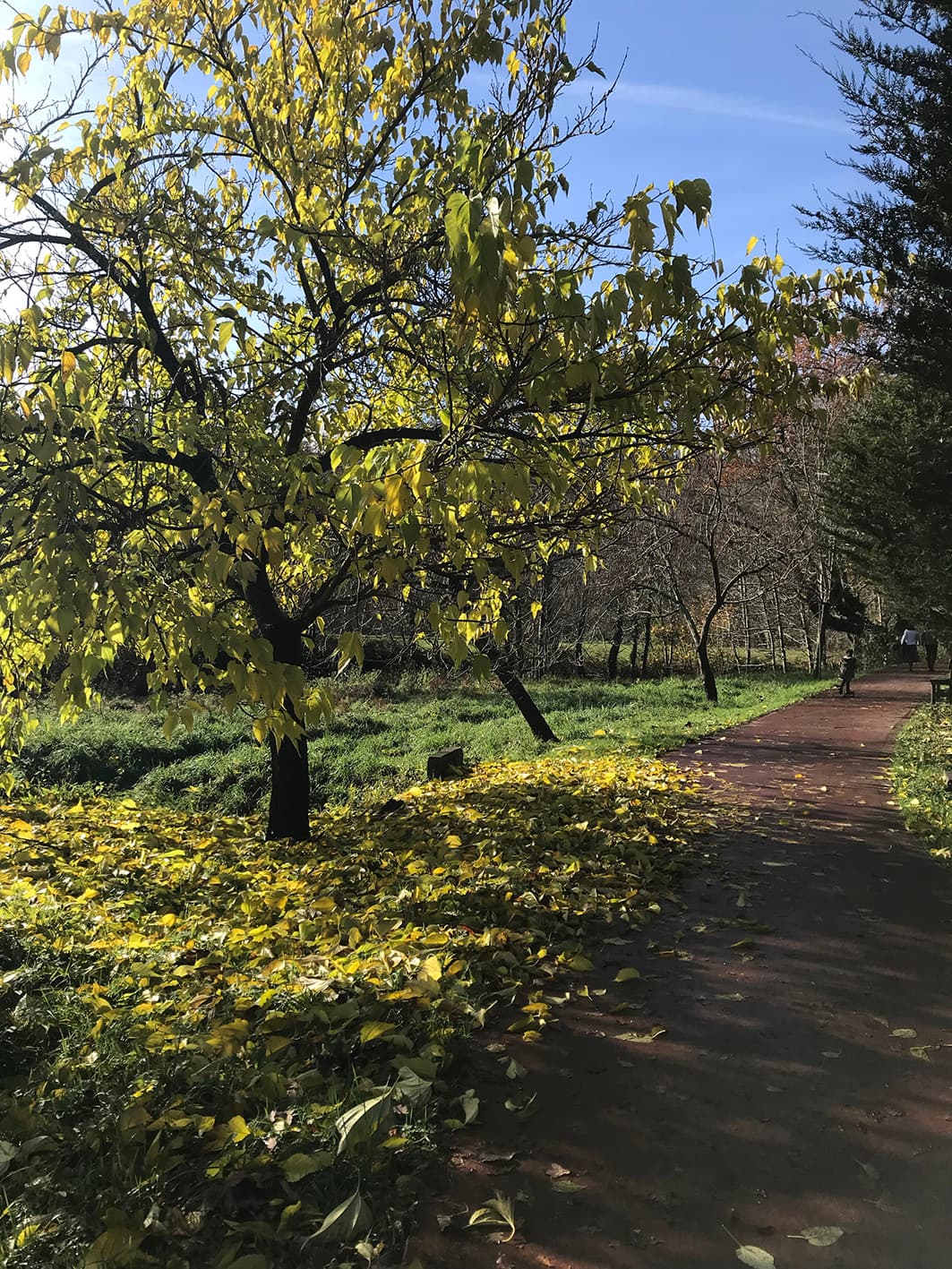
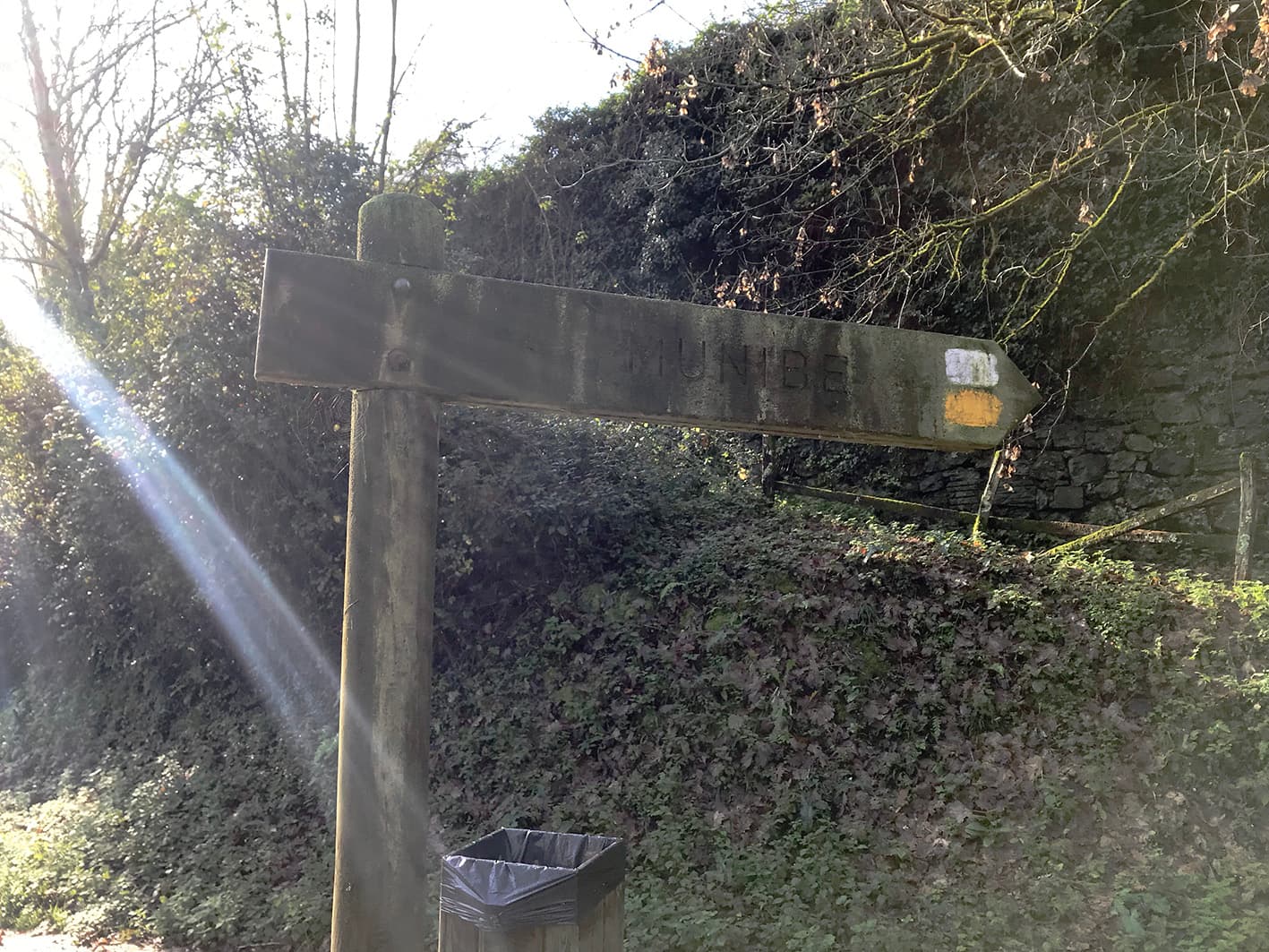
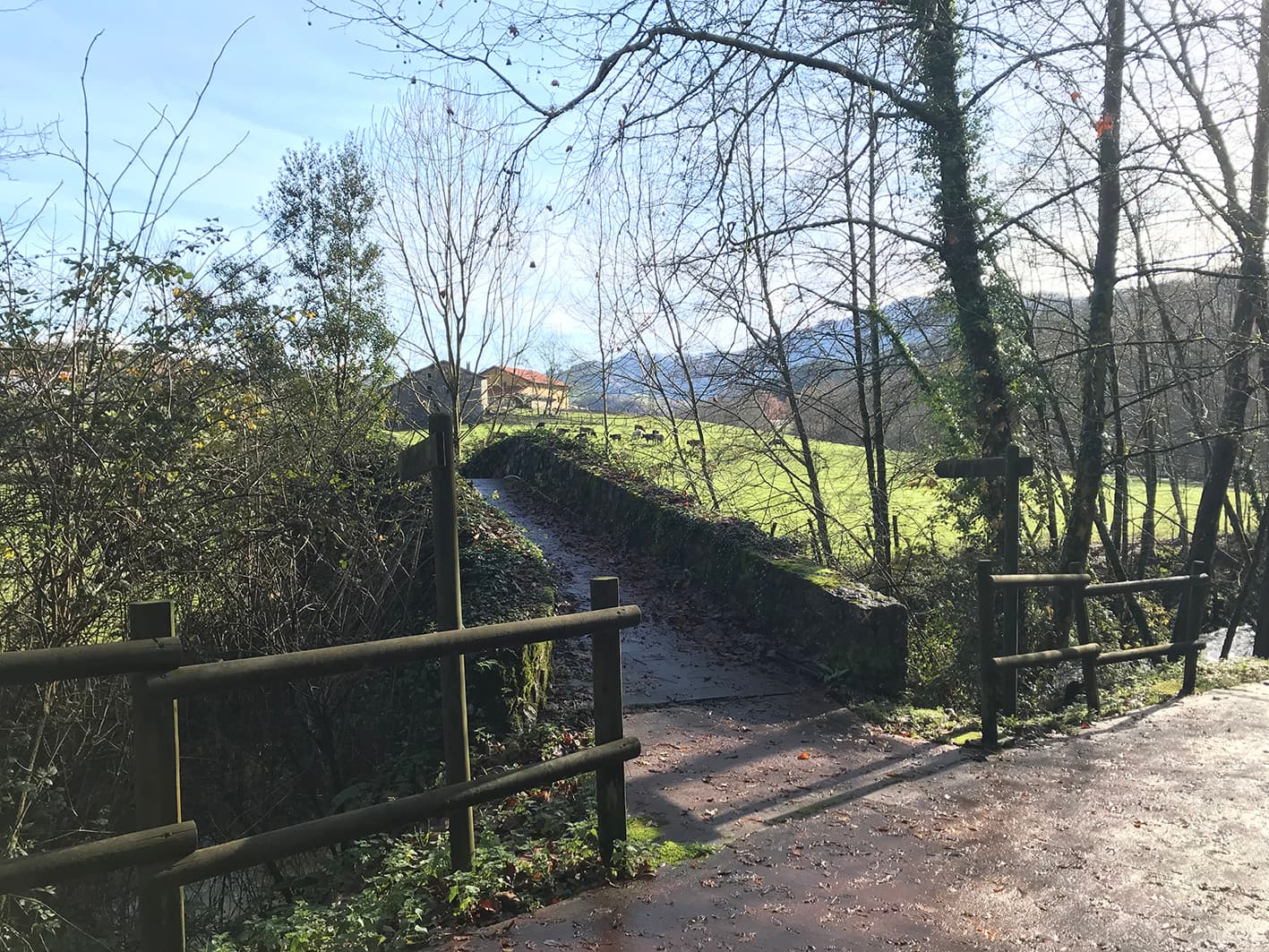
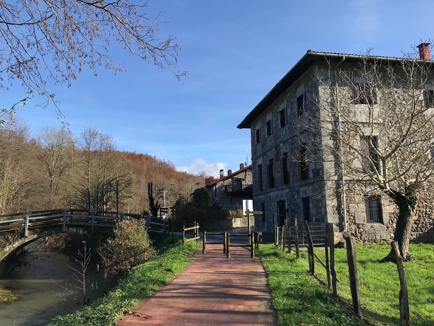
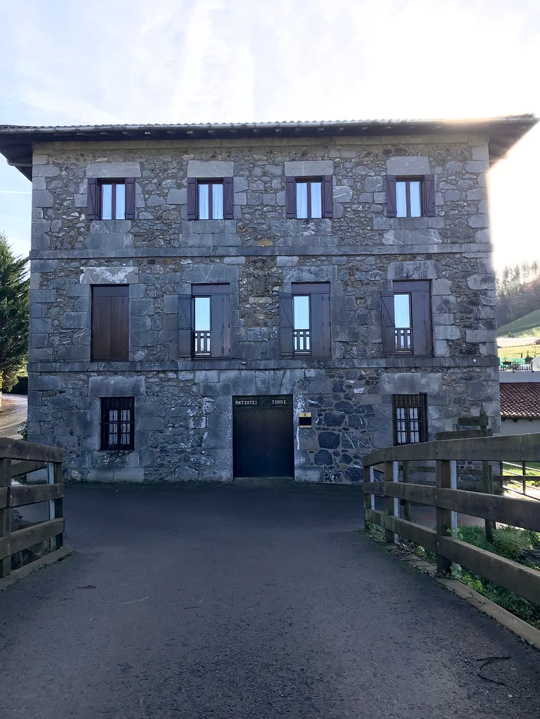
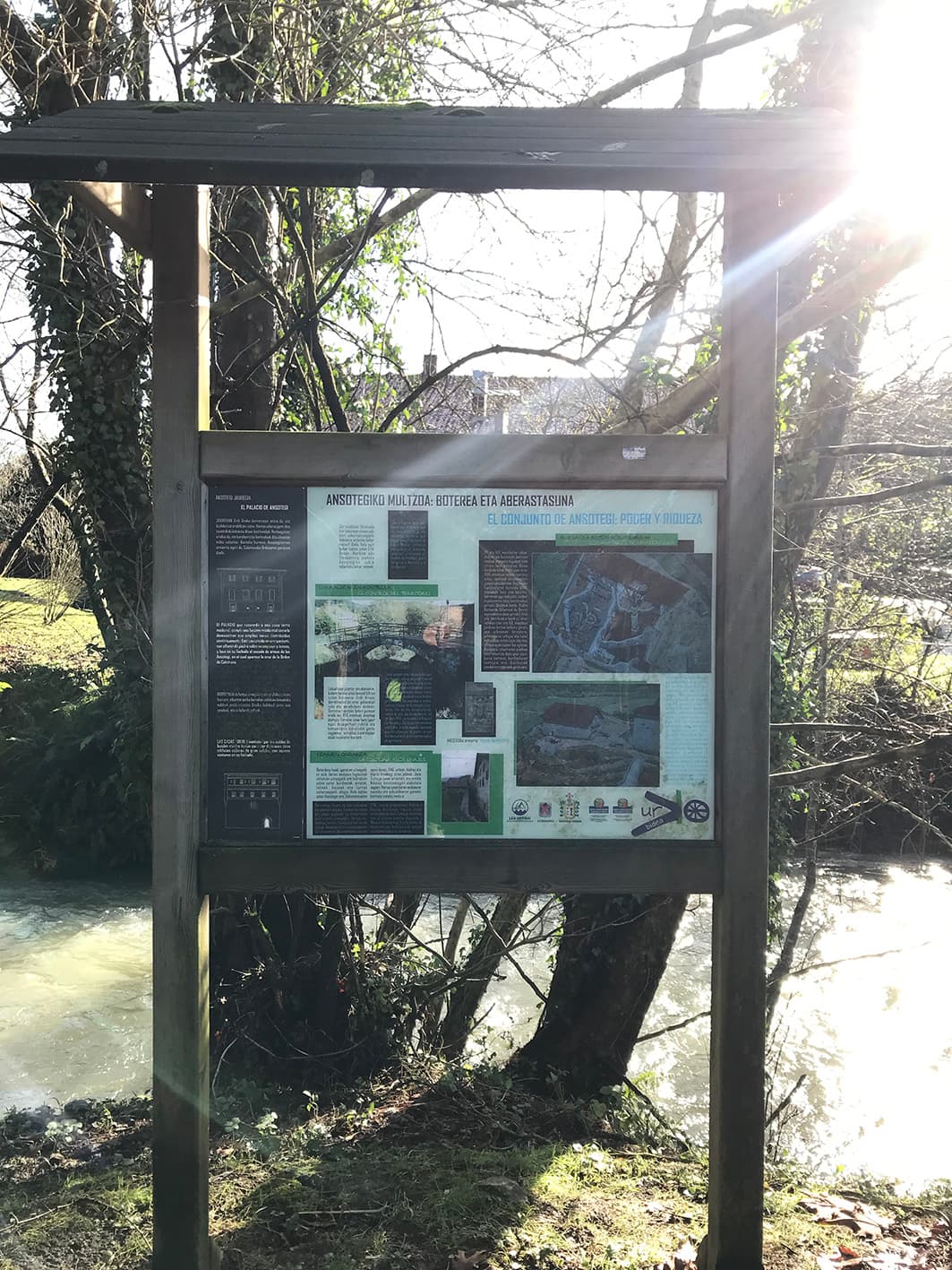
Ansotegi Tower and Mill
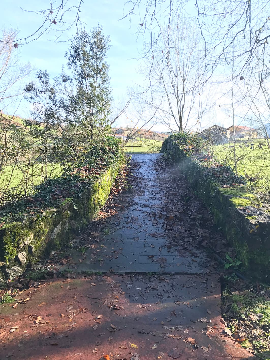
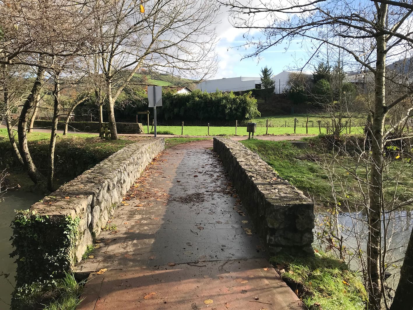
The Ansotegi ironworks is one of the best-preserved sites in the whole of Lea-Artibai. The Ansotegi Tower, which was the residence of the family who owned the property, the ironworks building (now converted into a rural hotel), the hydraulic infrastructure, the mill and the bridge make up this historic site. The medieval ironworks closed in the early 19th century, but the small mill remained in operation until the 1950s.

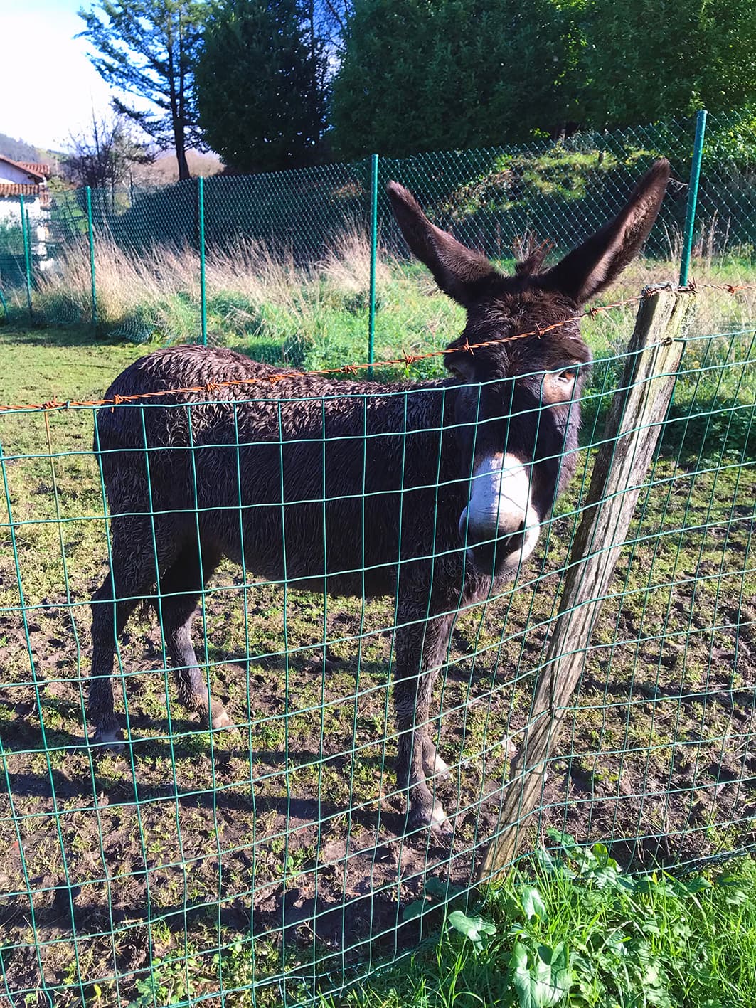


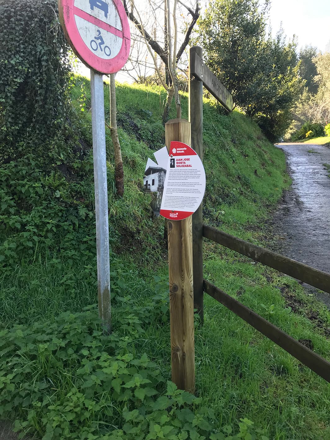
Animals and Places of Memory (Memoria Lekuak)
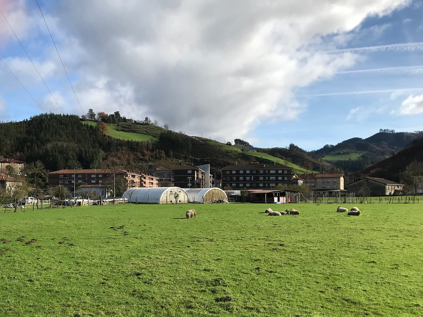
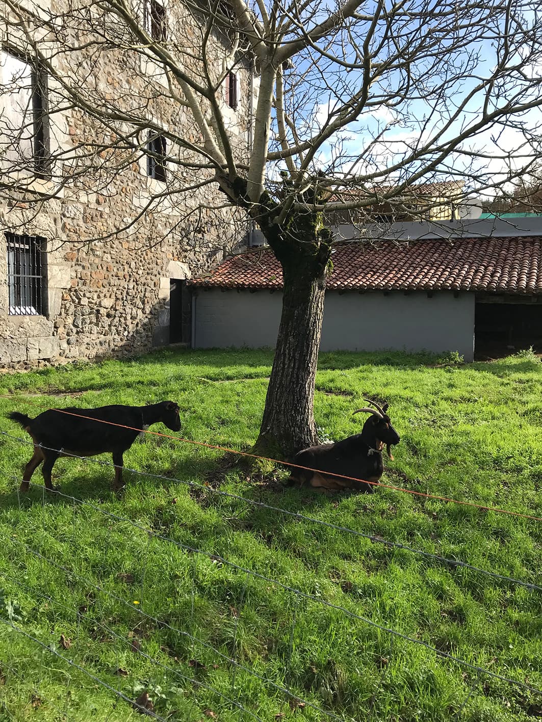
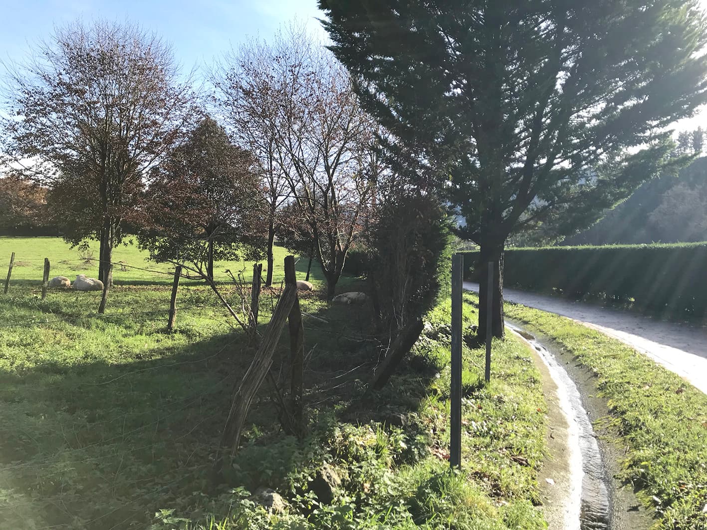
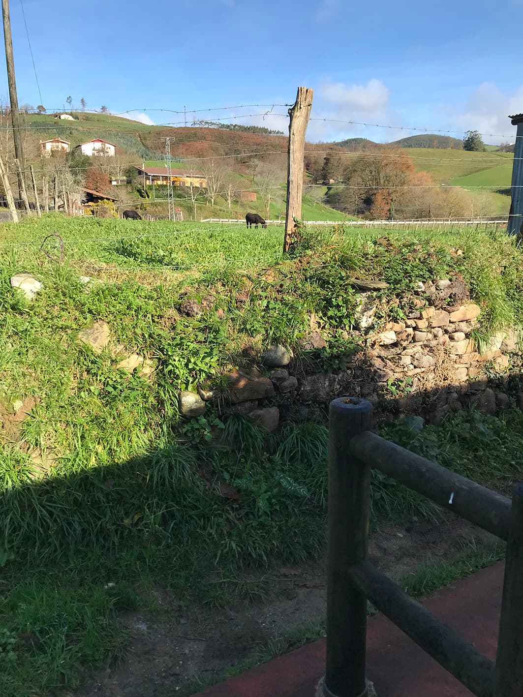
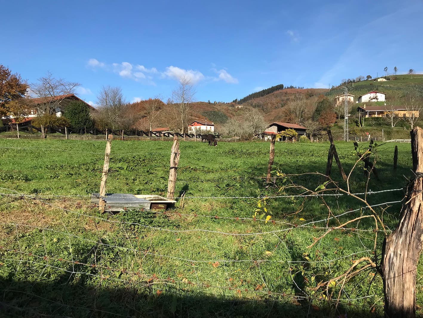
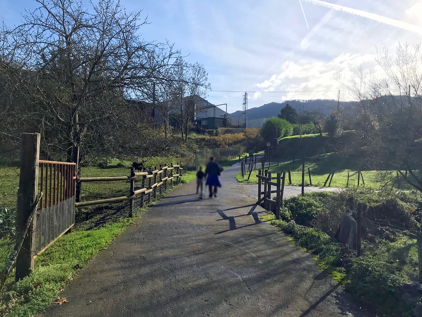
At this point on the route, the animals in the field by the farmhouse on the left approach visitors. Walkers often bring the odd carrot for these animals that come so close.
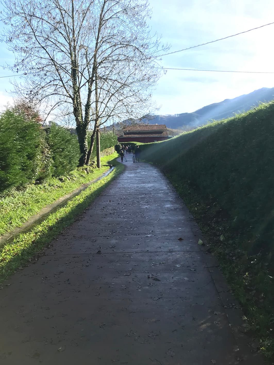
Where the route continues uphill, there is another information panel about Juan José Idoeta Solozabala, part of the Memoria Lekuak (Places of Memory) project run by the Ahaztuen Oroimena Association.
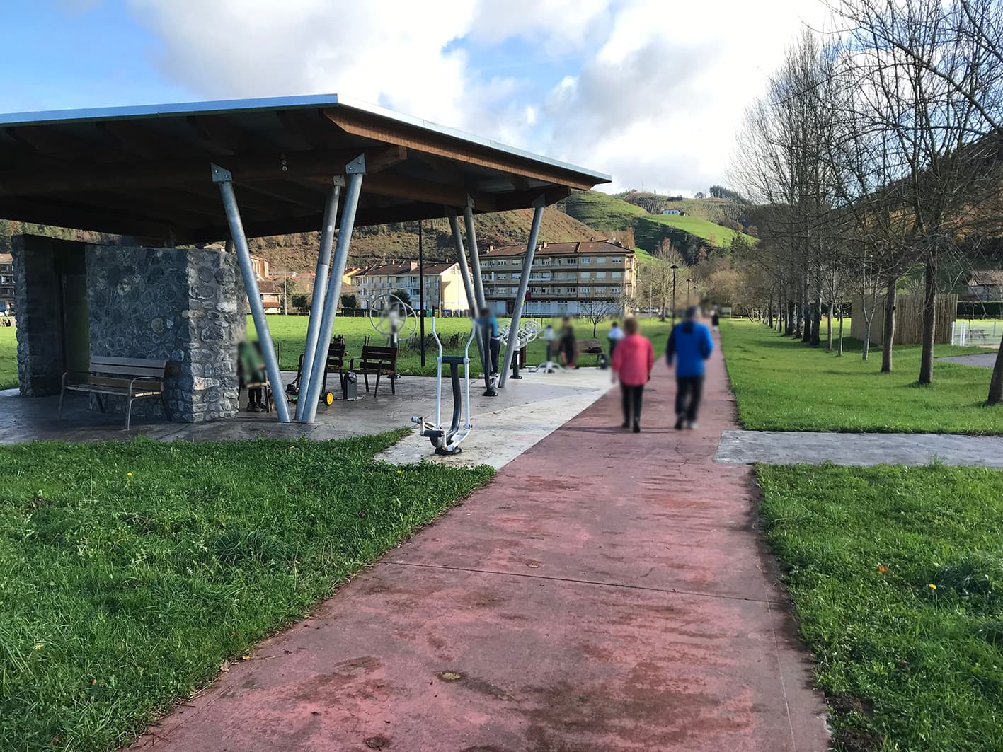
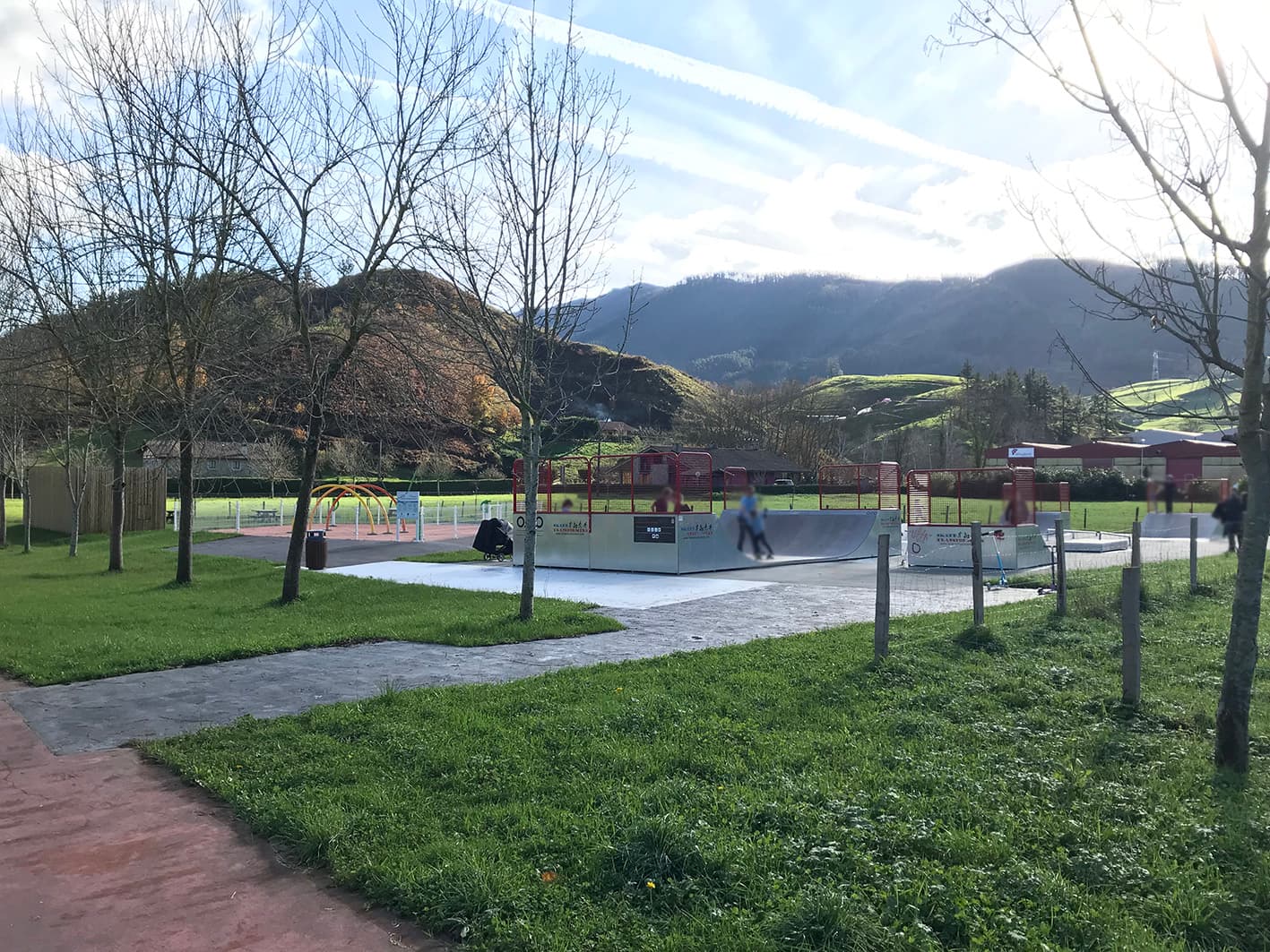
Crossroads, Etxebarria
At this point on the route, you can turn back and return along the same path you’ve taken, or head left towards Etxebarria, following the cycle path and extending the route slightly.
If you continue right along the cycle path, you’ll reach the Barinaga neighbourhood in Markina-Xemein.
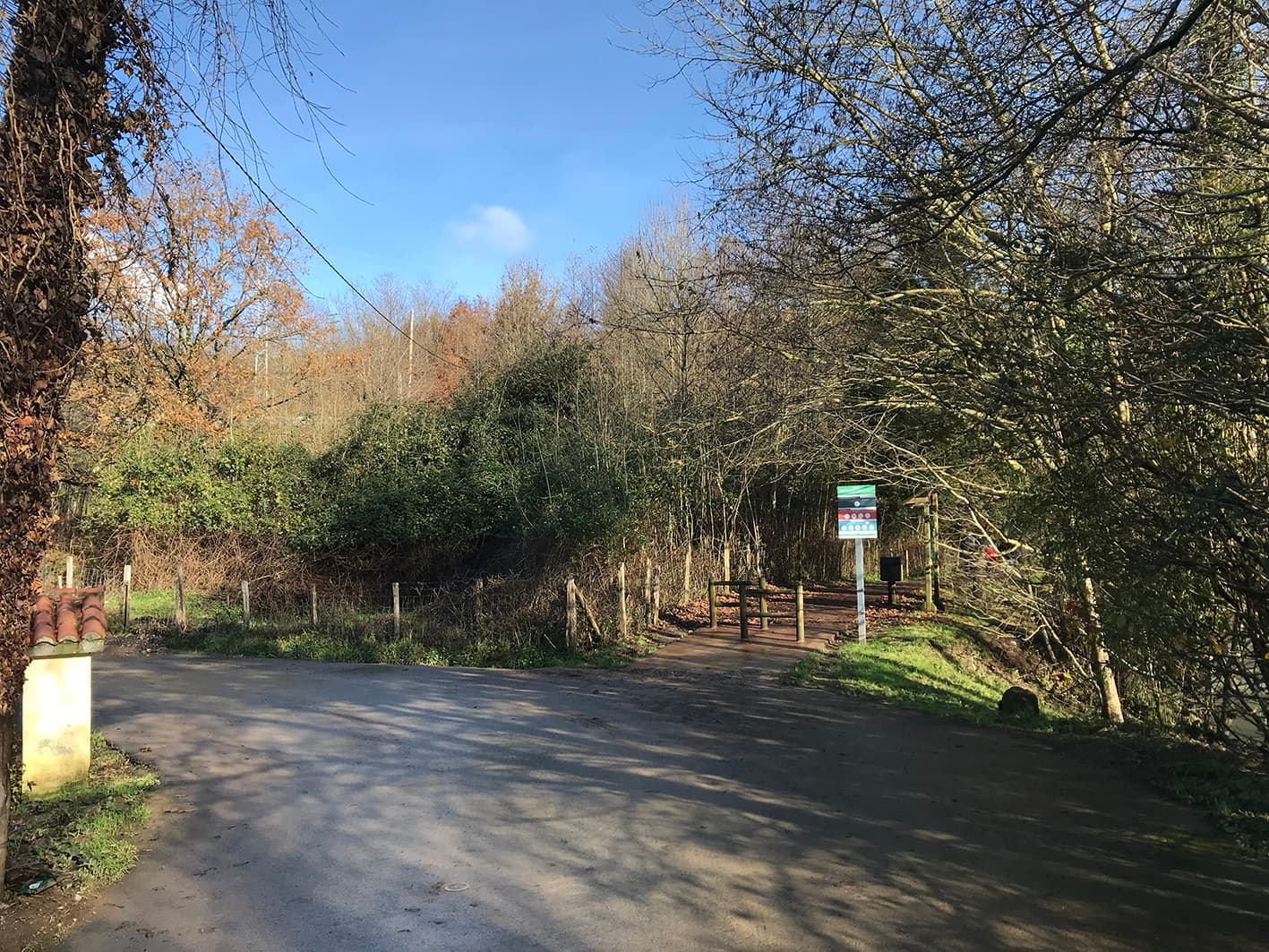
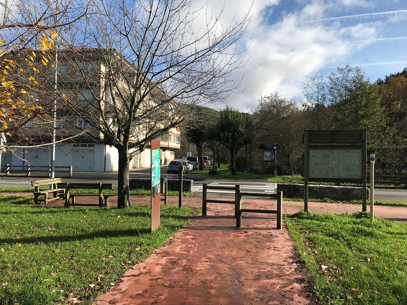
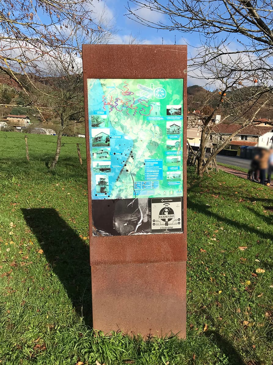
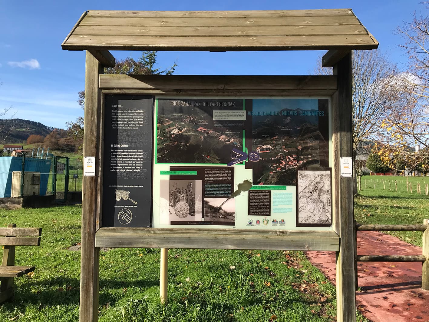
At this junction, there are information boards about the route and points of interest.