Route MX-1: Markina-Xemein
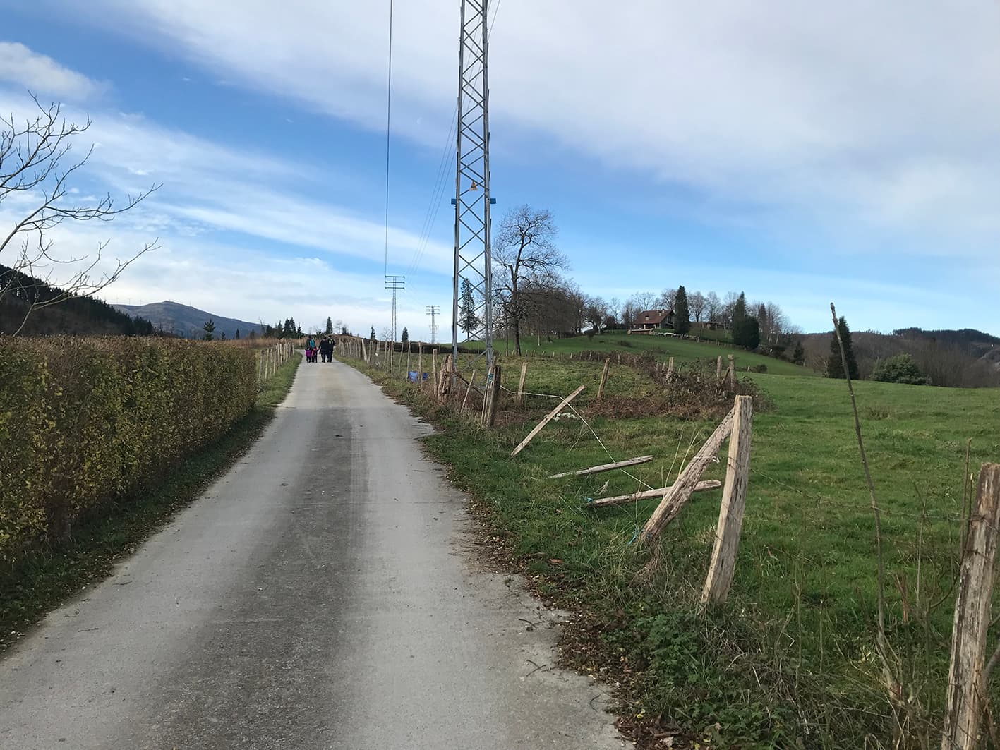
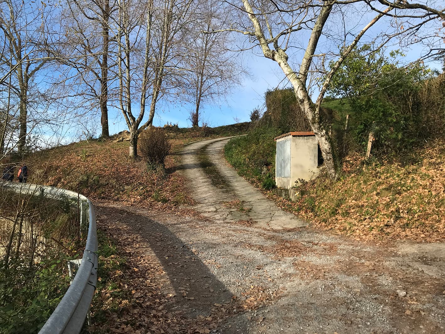
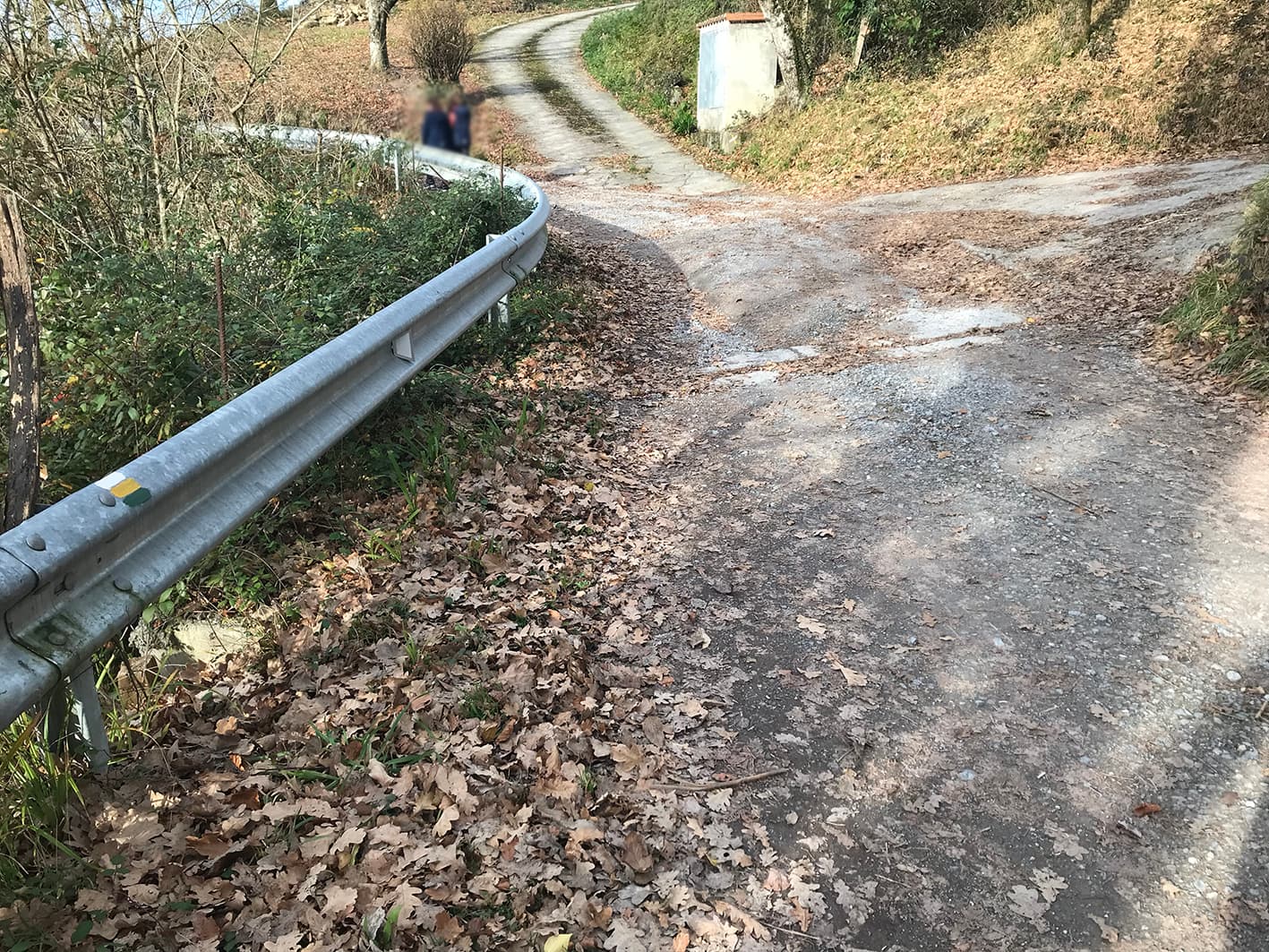
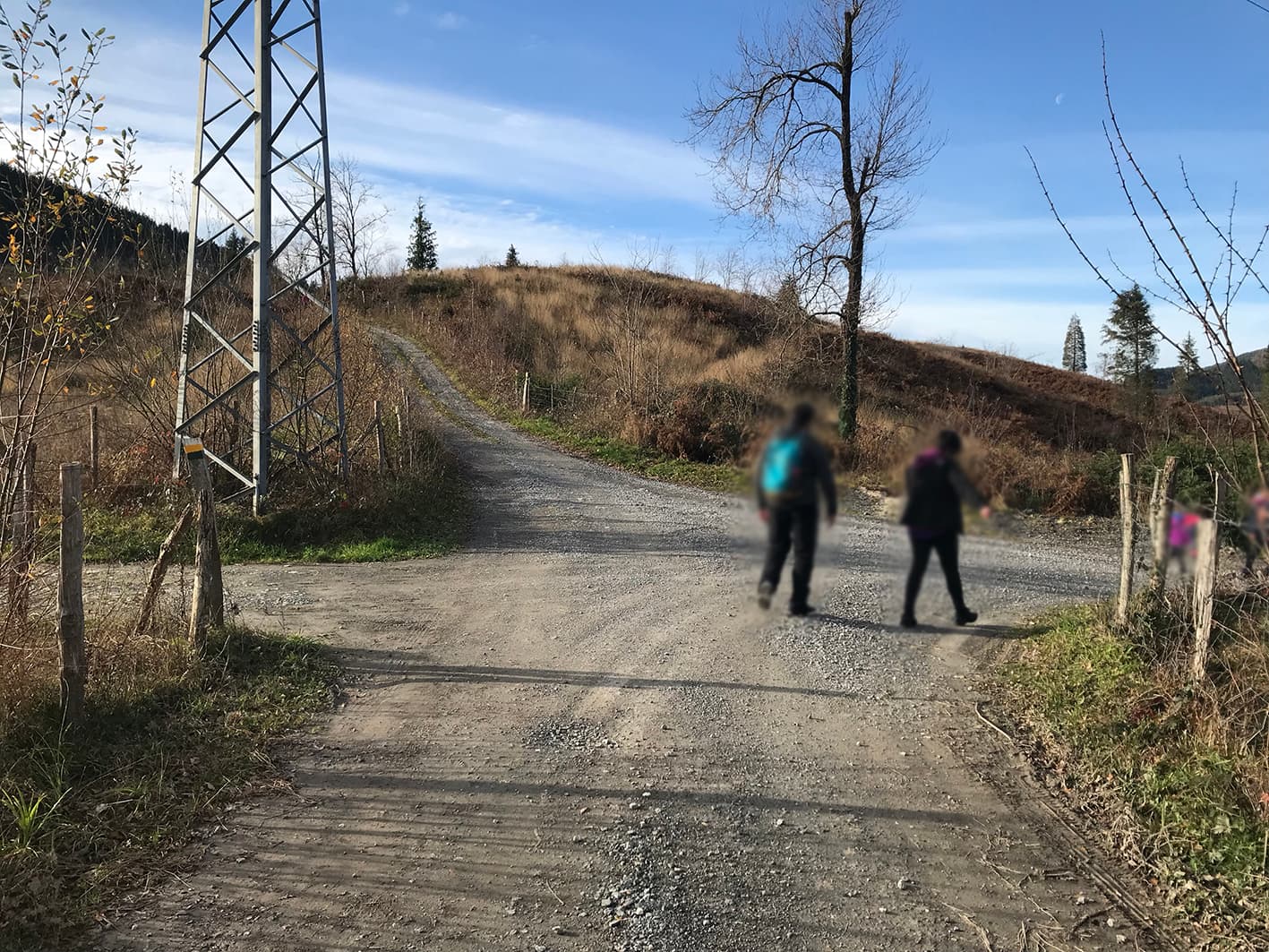
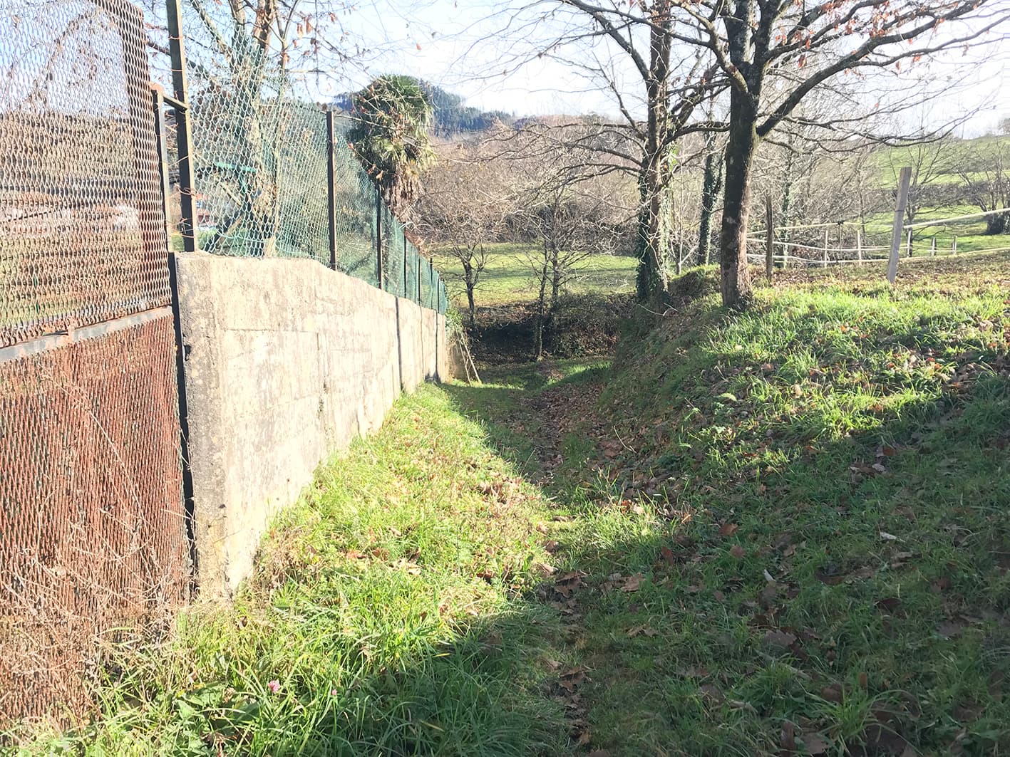
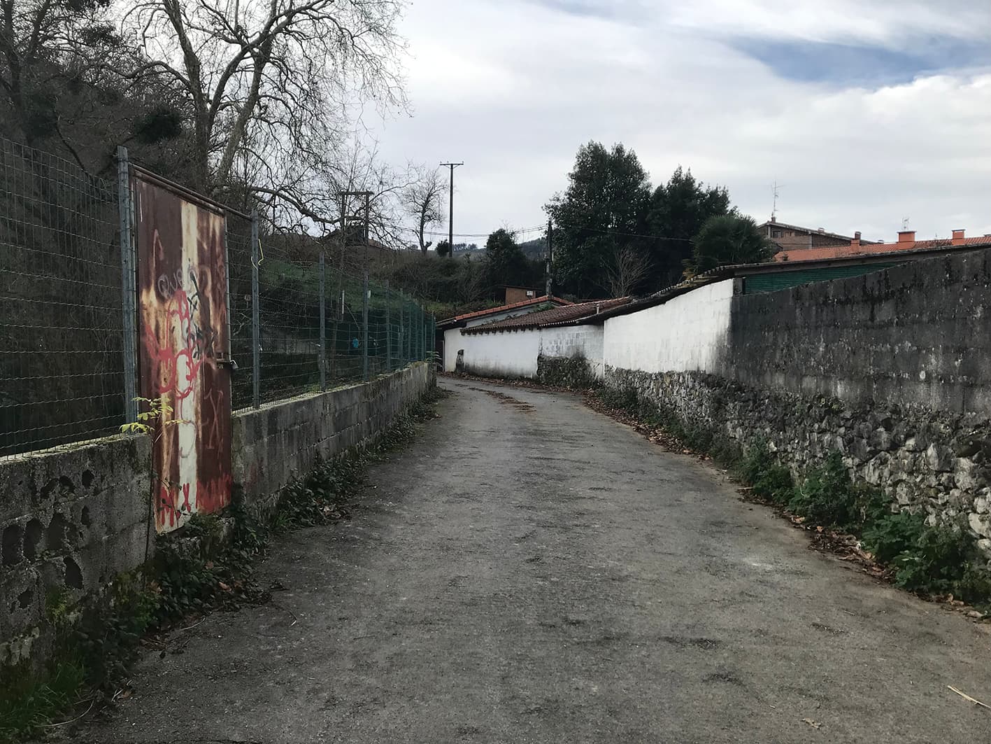
This route, created by Artibai Mendigoizale Taldea and Markina-Xemein Town Council, was devised with the aim of reviving the old footpaths. It is ideal for young children to walk along, as it presents no difficulties. The route consists of both tarmac and rural sections.

START
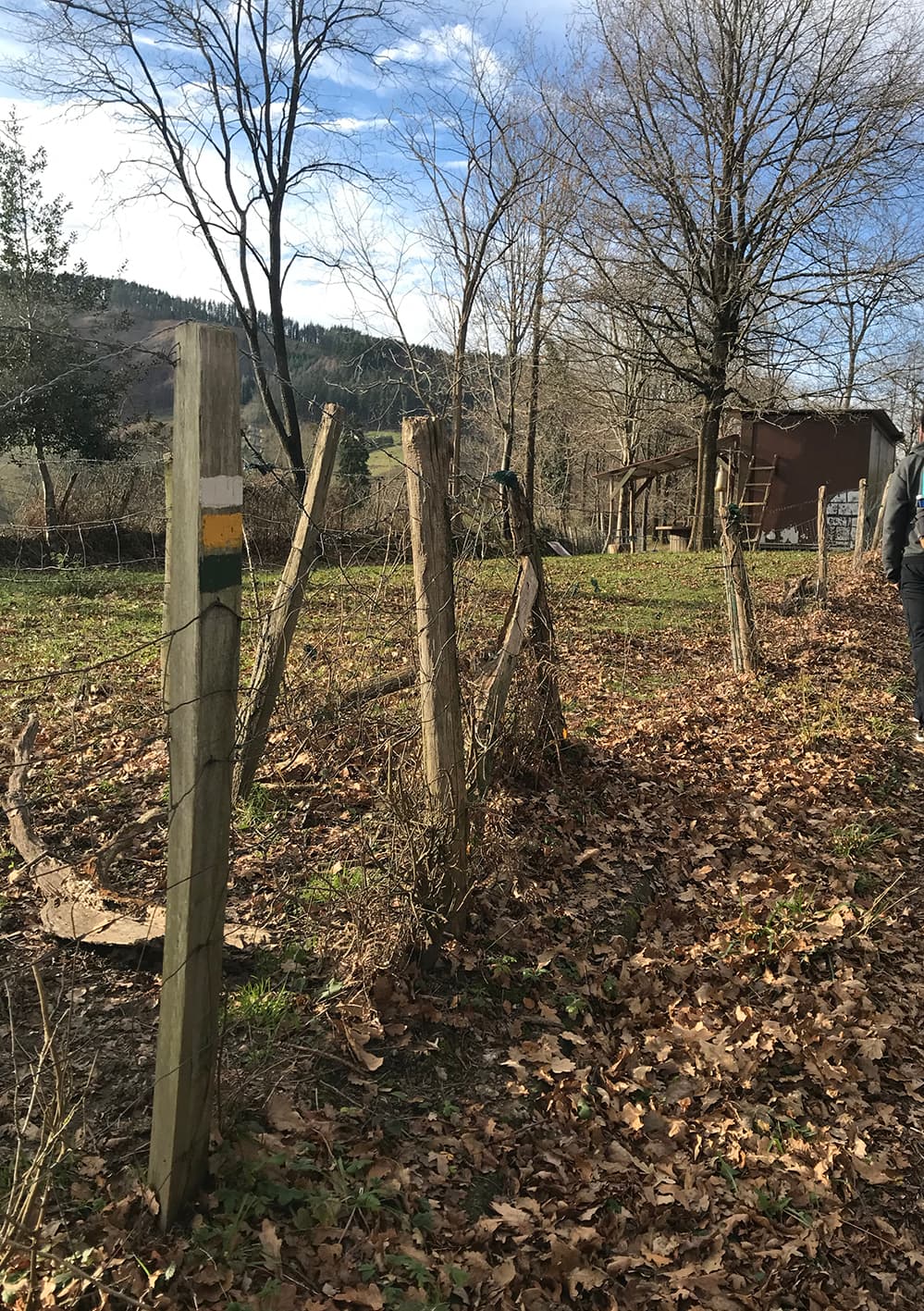
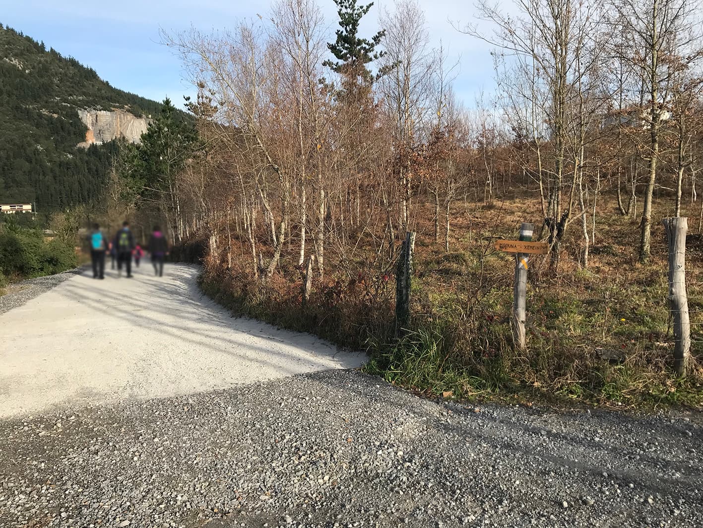
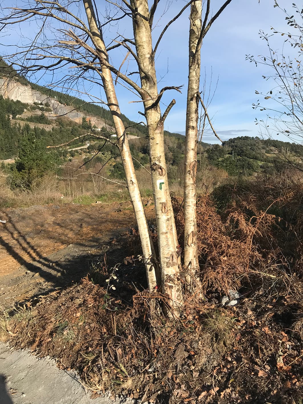
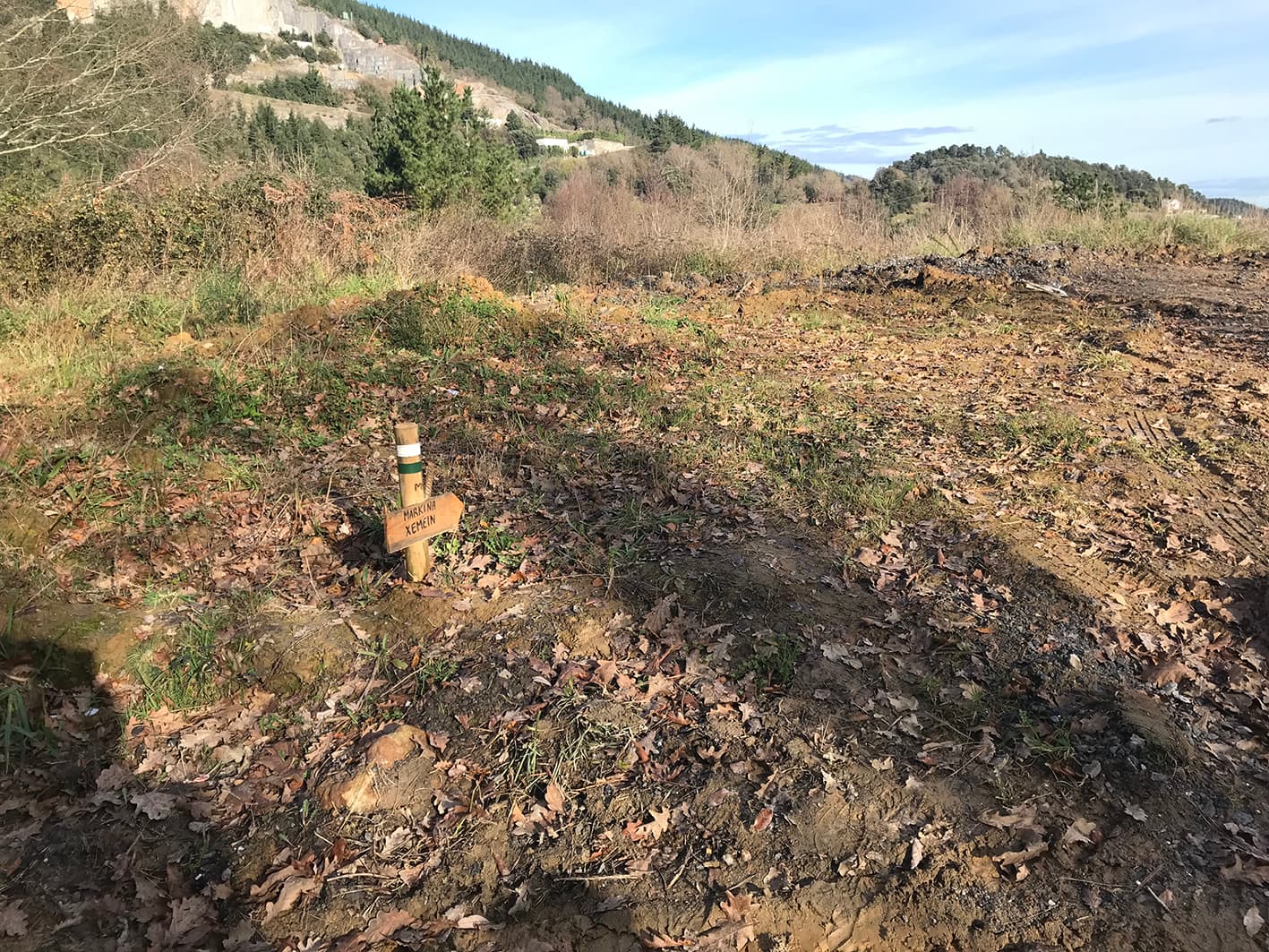
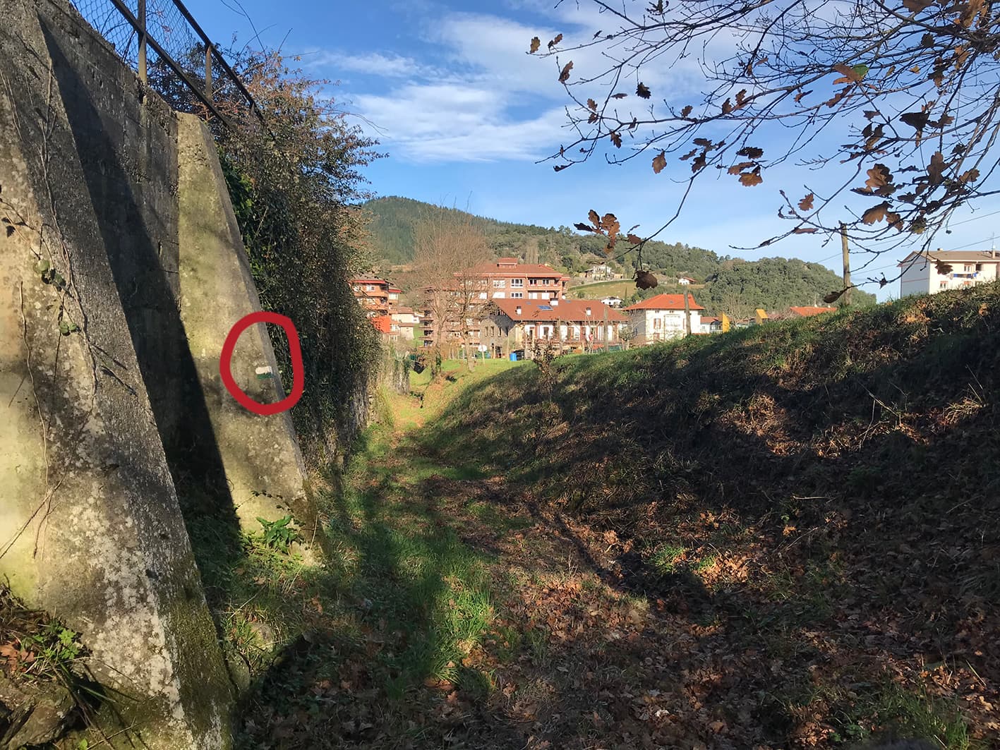
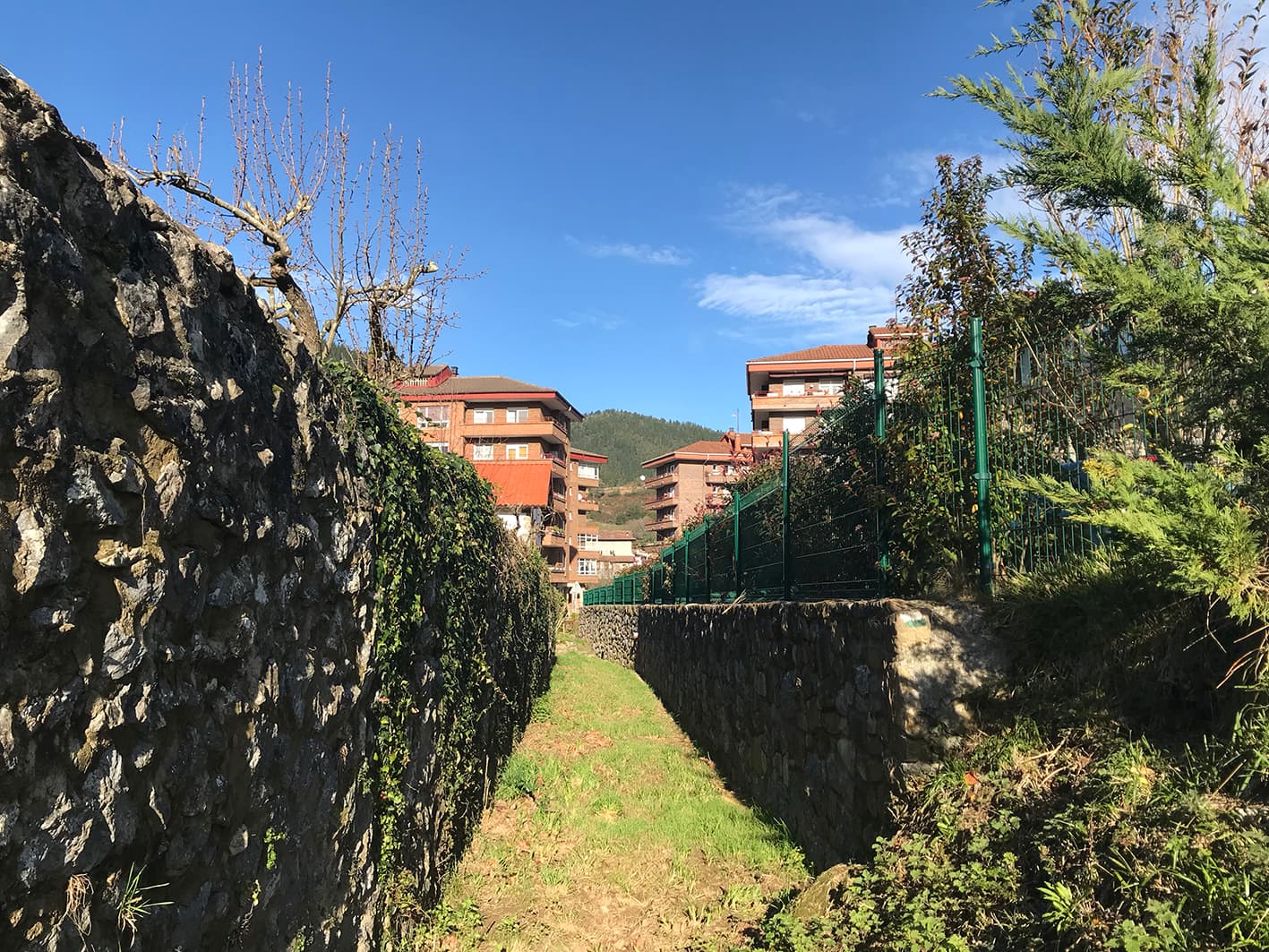
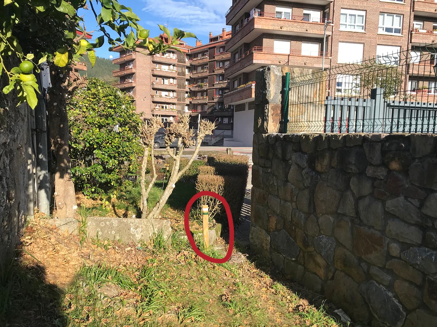
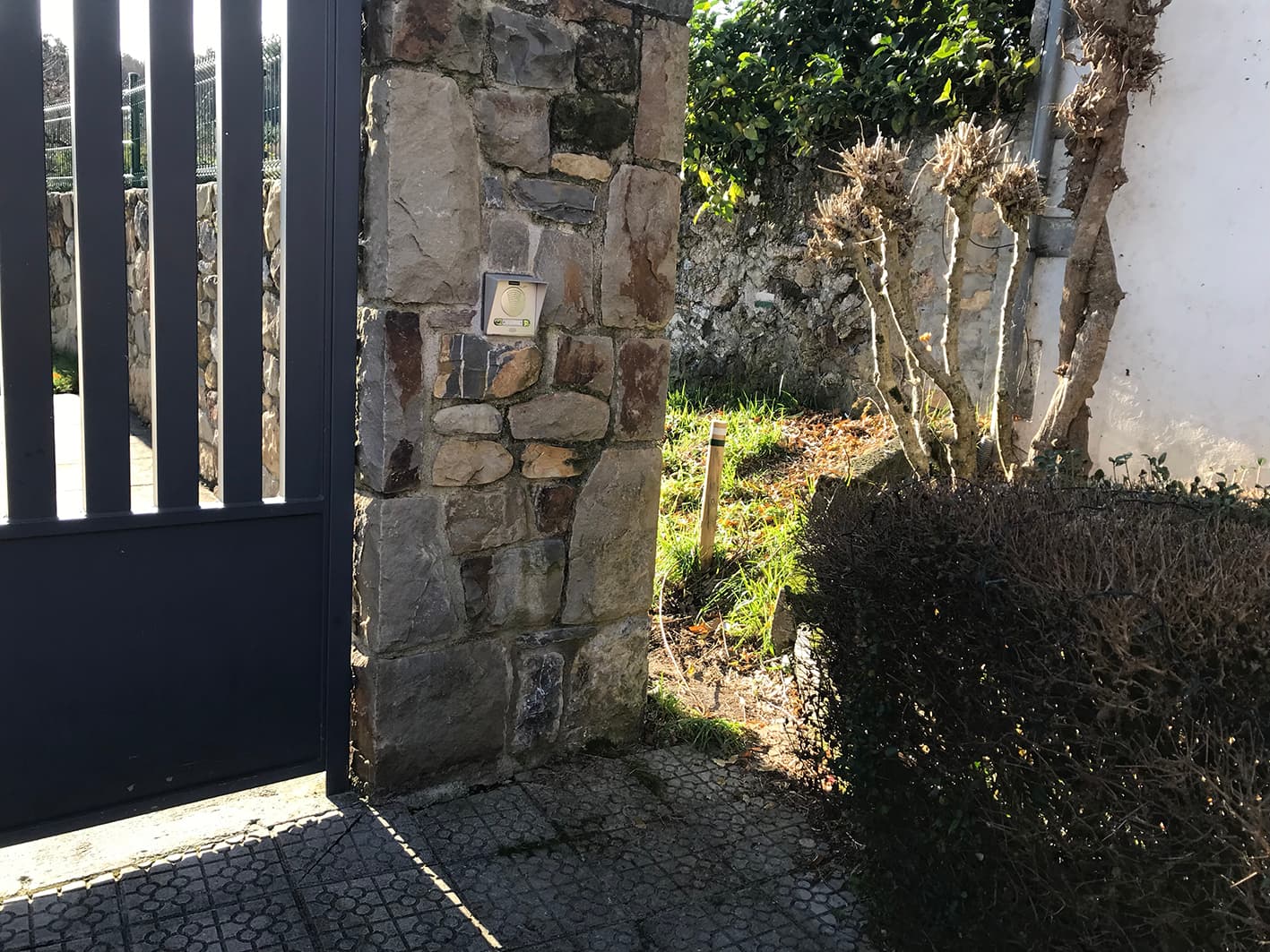
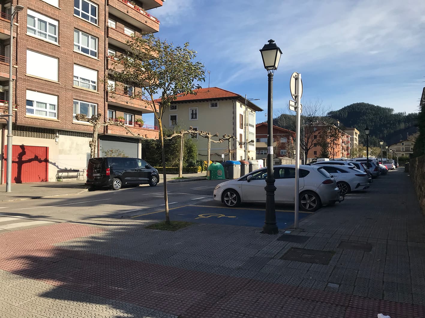
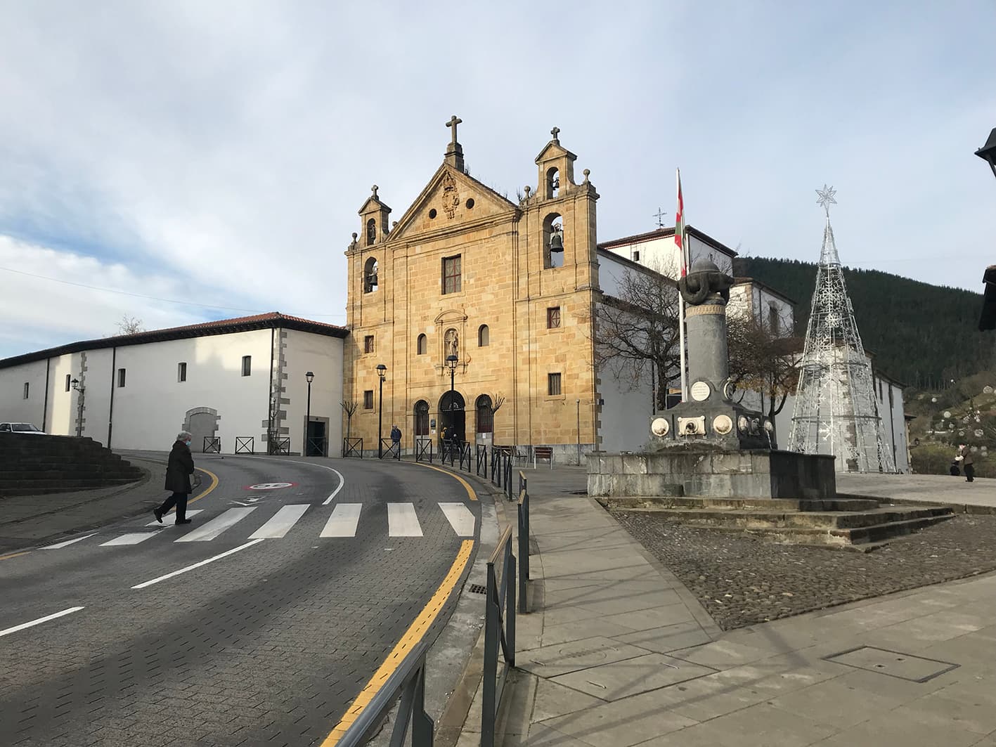
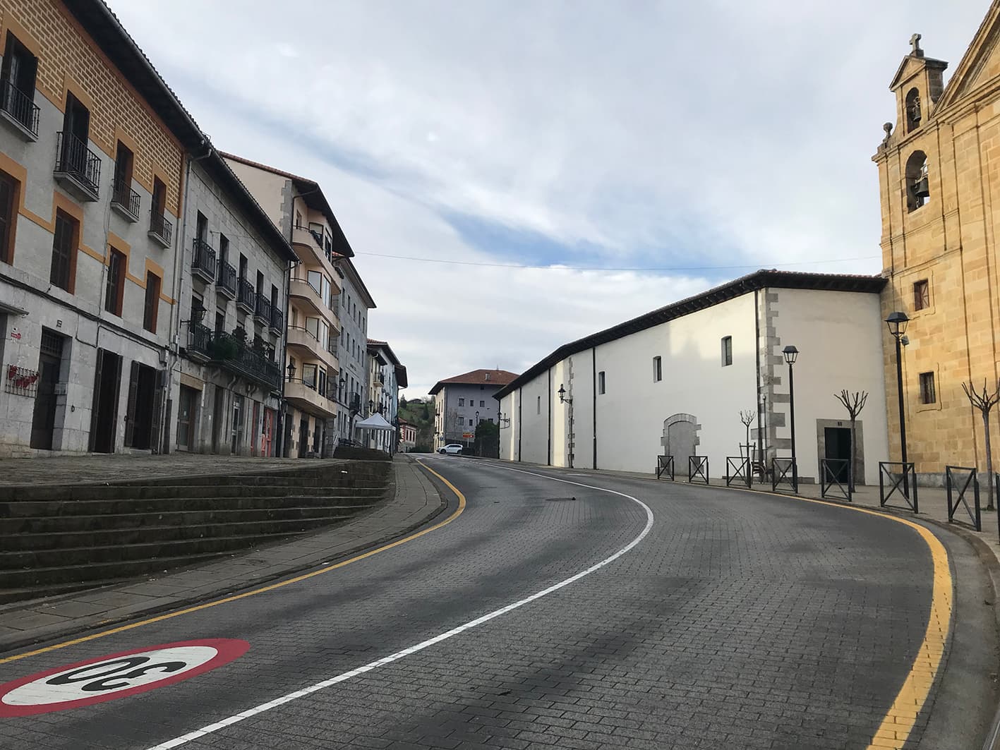
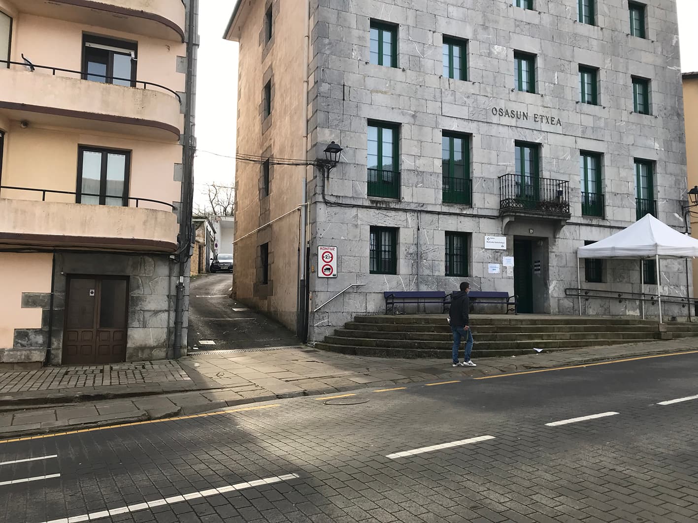
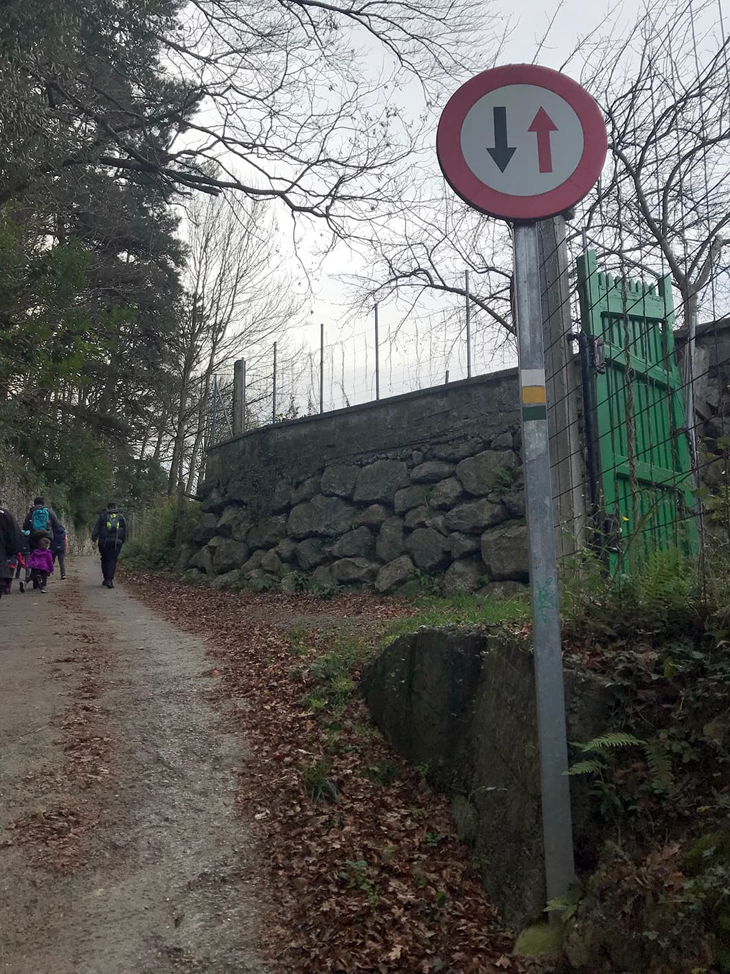
Setting off from the Goikoportala fountain* and the Church of El Carmen** heading uphill, the route begins along the street on the left, just before the Health Centre. The green and white markings on the right-hand wall serve as signposts for this route.
* Goikoportala Fountain: built in 1787, in the spirit of the Enlightenment. Beneath the column are four ovals bearing the town’s coat of arms and texts in the Biscayan dialect. These texts were written by Juan Antonio Mogel.
** Church and Convent of El Carmen: the convent dates from 1691. The church, built in 1724, displays the characteristics of Carmelite Baroque architecture. It features a sandstone façade, three naves and a Latin cross plan; inside, the rich decoration of the altarpieces is particularly noteworthy.
Torre Bidarte Park
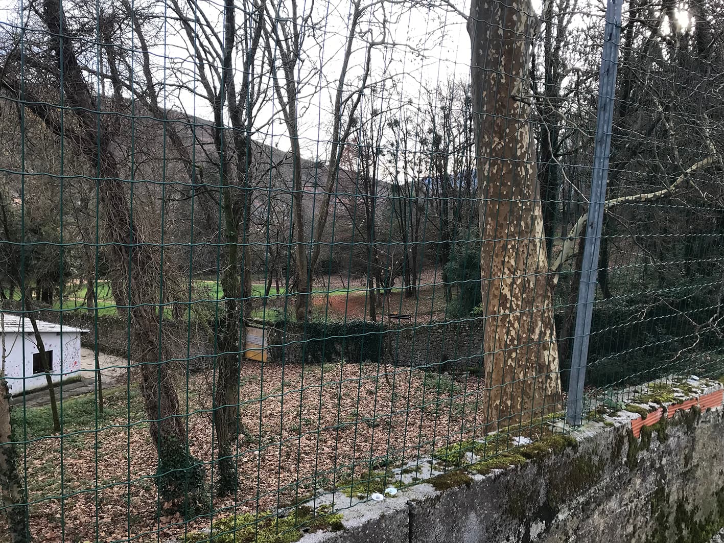
At the start of the route, looking to the left, you can see Torre Bidarte Park. This is a public woodland park belonging to the Murga Palace*. The site is divided into two distinct areas: the park (the route area) and the woodland area. The extensive woodland in the latter, full of oaks and beech trees, is considered an ecological area.
* Bidarte Tower. Murga Palace
Murga Palace is a Baroque building that conceals a medieval tower. The walls are built of ashlar up to the first floor, whilst the second floor features Rococo-style paintings. From the alleyway to the right of the palace, you can see a bridge leading into the Murga woods.
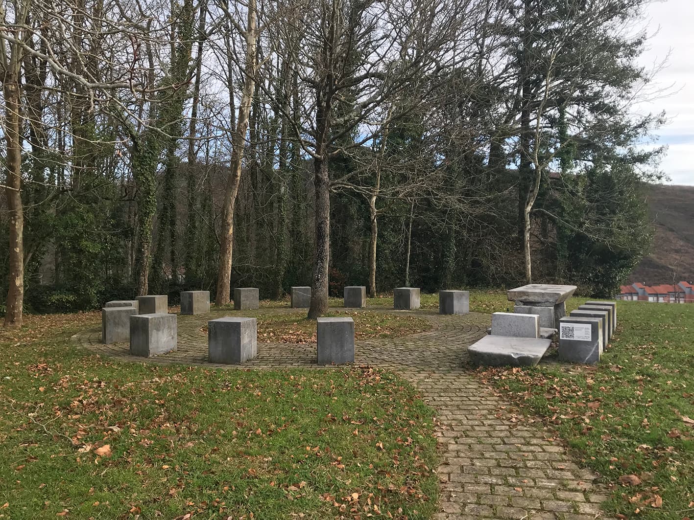
Sagastiguren meeting place
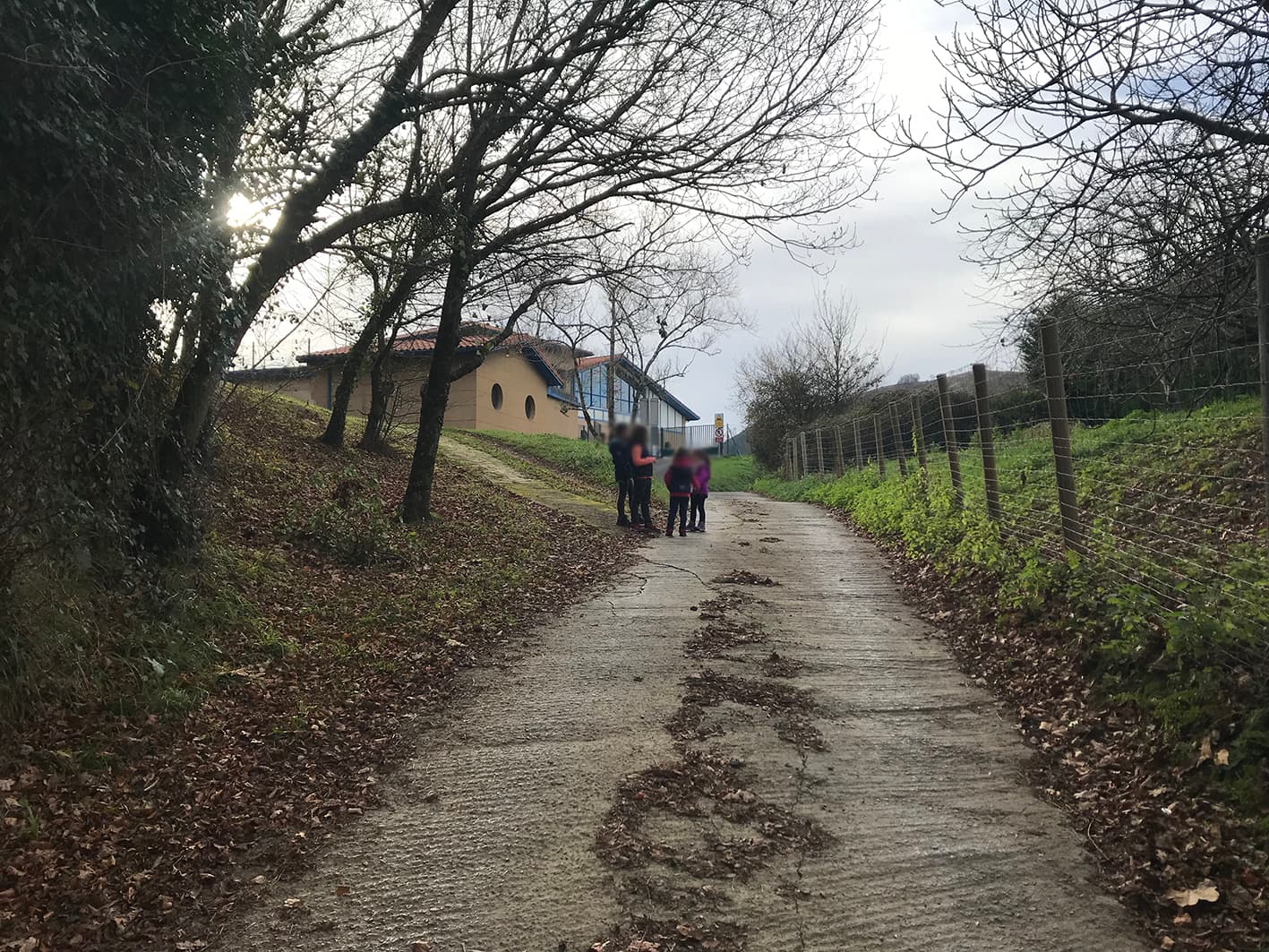
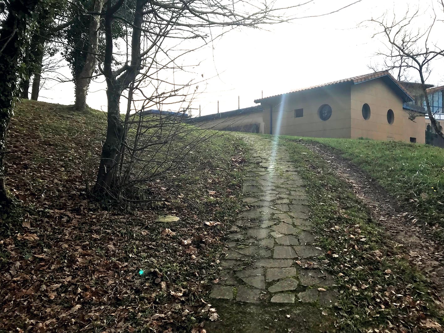
At the end of the slope, heading up the small path to the left, you can visit Sagastiguren.
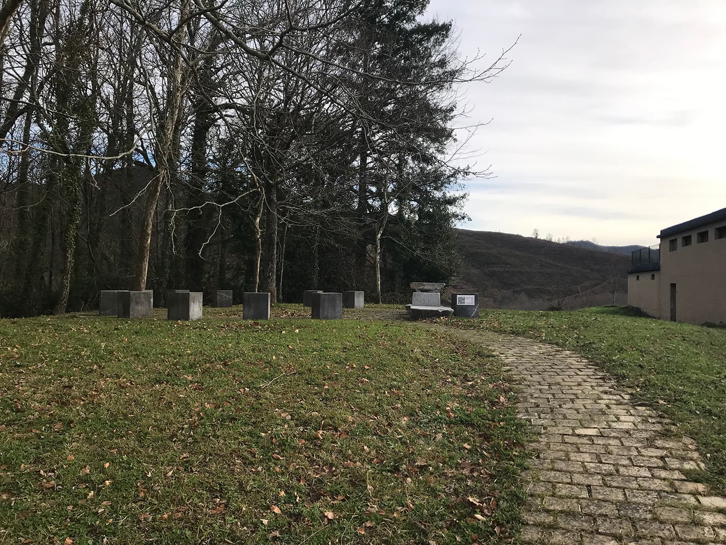
On the hill overlooking the Murga estate, next to the current Iparraguirre water reservoir, the general assemblies of the Markina district used to meet by the Sagastiguren tree. The district comprised the parishes of Xemein, Etxebarria and Markina. This tree died at the beginning of the last century. However, in 2005, to mark the 650th anniversary of the founding of Villaviciosa de Markina, Markina-Xemein Town Council organised an event at which stone tables and benches were installed in homage to the former assembly.