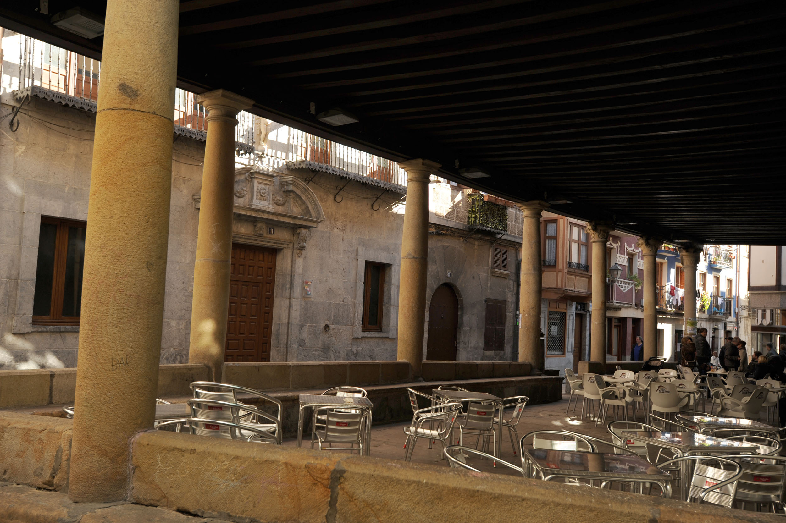
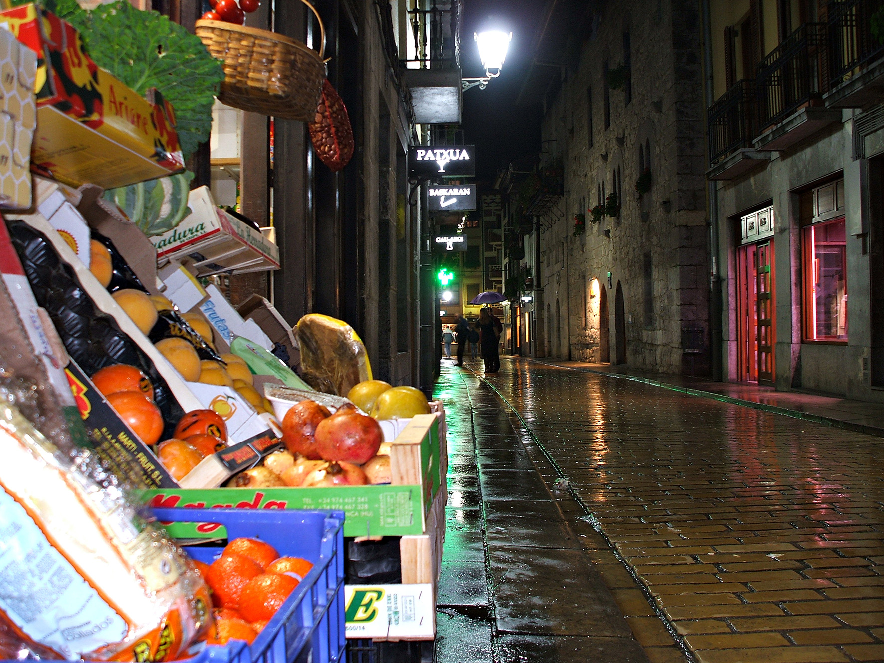
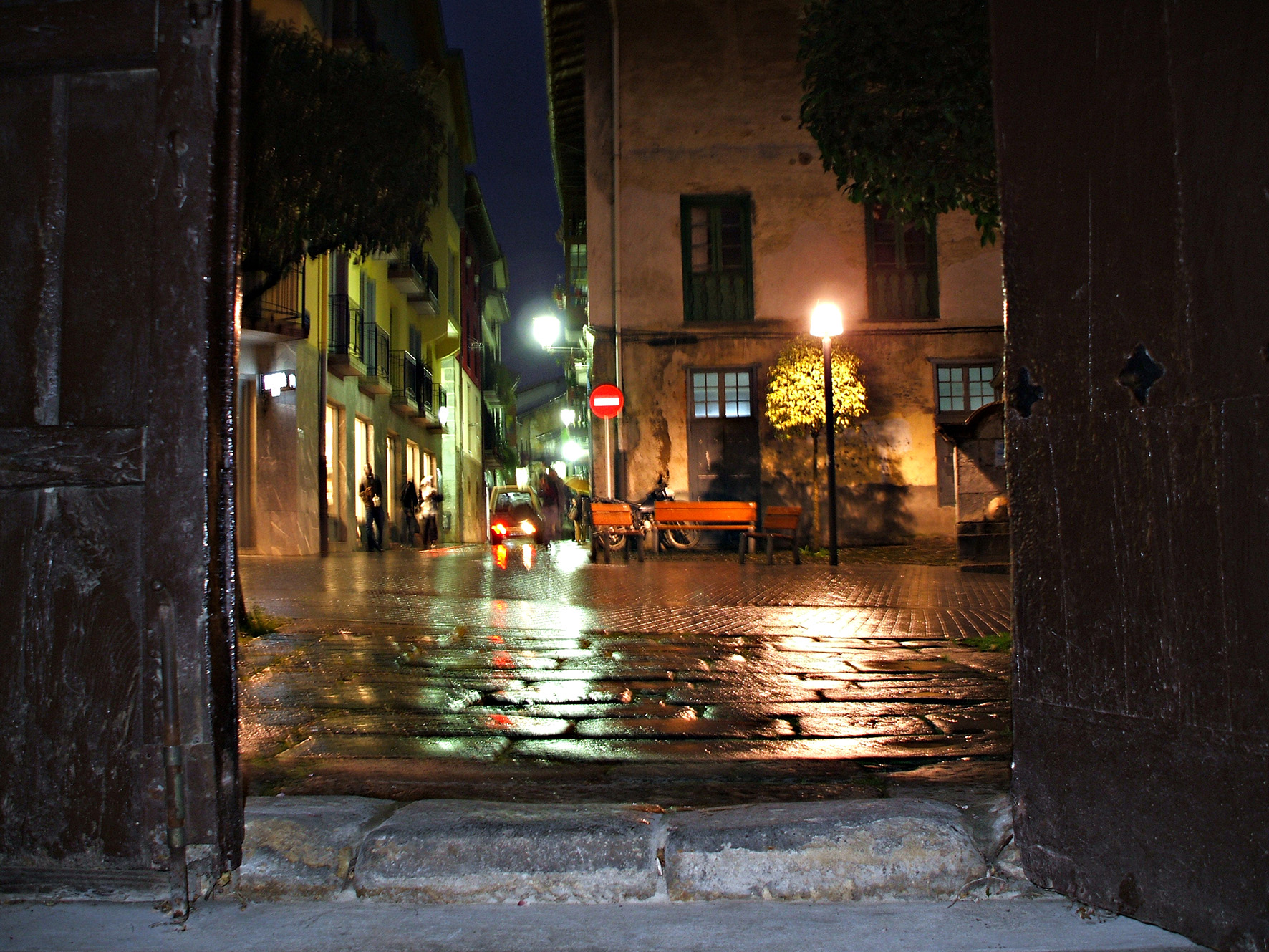
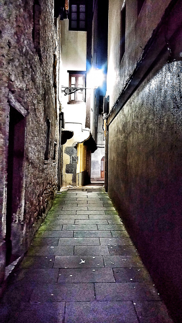
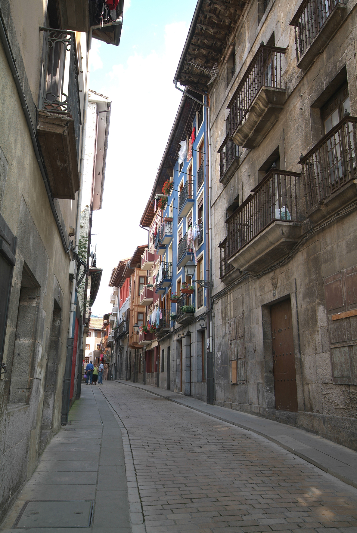
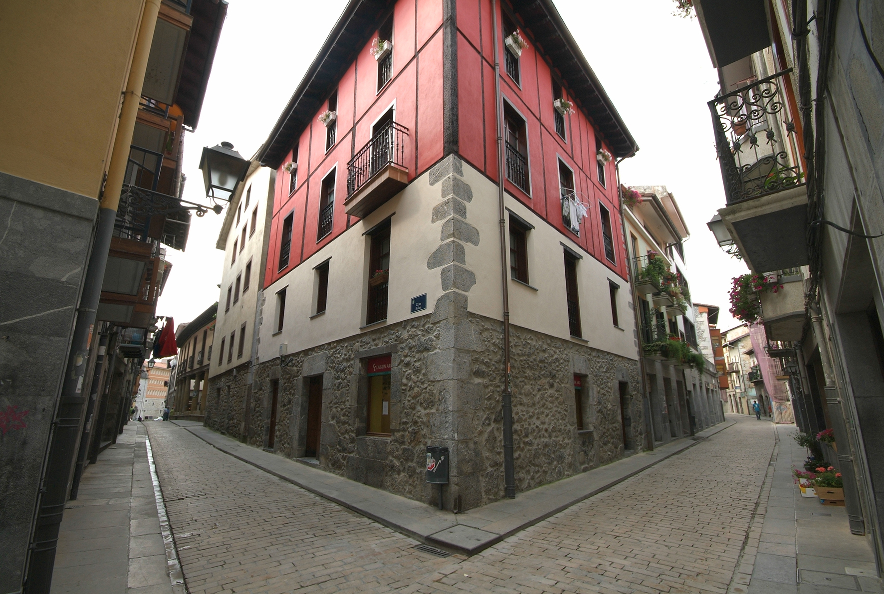
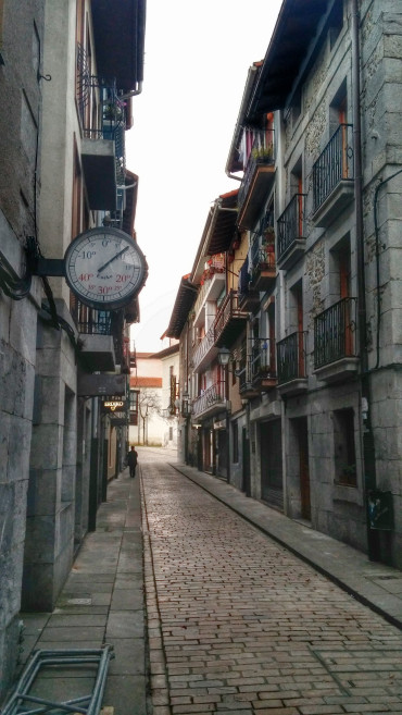
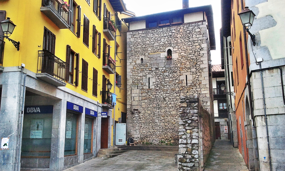
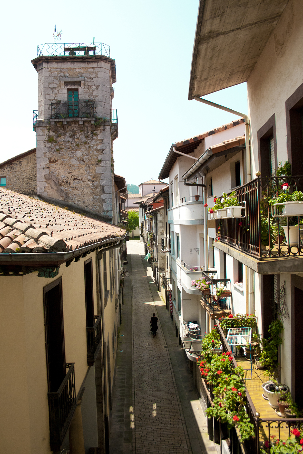
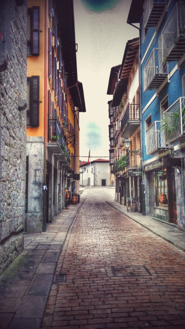
The historic center has a medieval planning structured in three longitudinal streets and a corner block that unites them (Guenkalea, Erdikokalea and Kaleokerra- and a transverse street –Zeharkalea). The town was surrounded by a wall in which three gates were opened: those of Orueta, Irureta and Suso/Goiko.
The wall was the element that marked the difference between the town and the parish church: the town of an urban nature with a concentrated population and the parish of a rural nature with a scattered population. The wall gradually disappeared due to demographic pressure, so the town grew in the direction of its extreme neighborhoods – the suburbs. At each door a suburb would appear: Abesua’s at the door of Irureta; Artibai’s in that of Orueta; and Arriba/Goiko’s (Suso), today Karmengo Kalea, which began at the door of the same name.
The plots that make up the town have undergone transformations in their dimensions and in their internal distribution so that most of the buildings have lost their medieval image. However, the town preserves very well, despite the changes made in the modern and contemporary periods, the layout of its streets.
The Historic Center was classified in 1996 as a Cultural Asset with the category of Monumental Complex and its protection regime was established. In 2000, the Camino de Santiago was also classified as a Cultural Asset with the category of Monumental Complex and it included the Historic Center of Markina-Xemein. Let us remember that the coastal route of the Camino de Santiago goes up to Mendaro (Gipuzkoa) and enters Markina through the Arnoate peak. Going down Arnoate, the Camino enters the Lea-Artibai region through Markina and following the banks of Artibai River, the pilgrims reach Ziortza-Bolibar.

