Akarregi mountain route

A circular route from Markina-Xemein to Mount Akarregi, and back to Markina-Xemein. The path follows tracks that wind through the extensive pine plantations covering the mountain. At the summit, you can enjoy spectacular views.

Akarregi (433 m) is a peak situated in Markina-Xemein (85 m) and forms part of the Arno massif.
6.33 km

Starting from Markina-Xemein

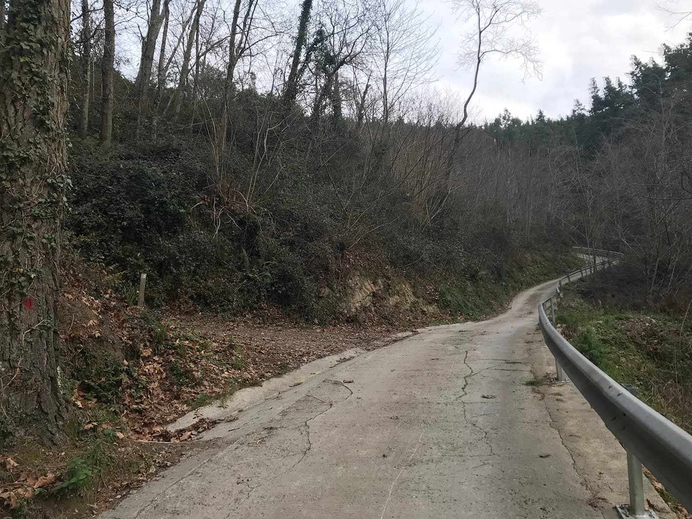
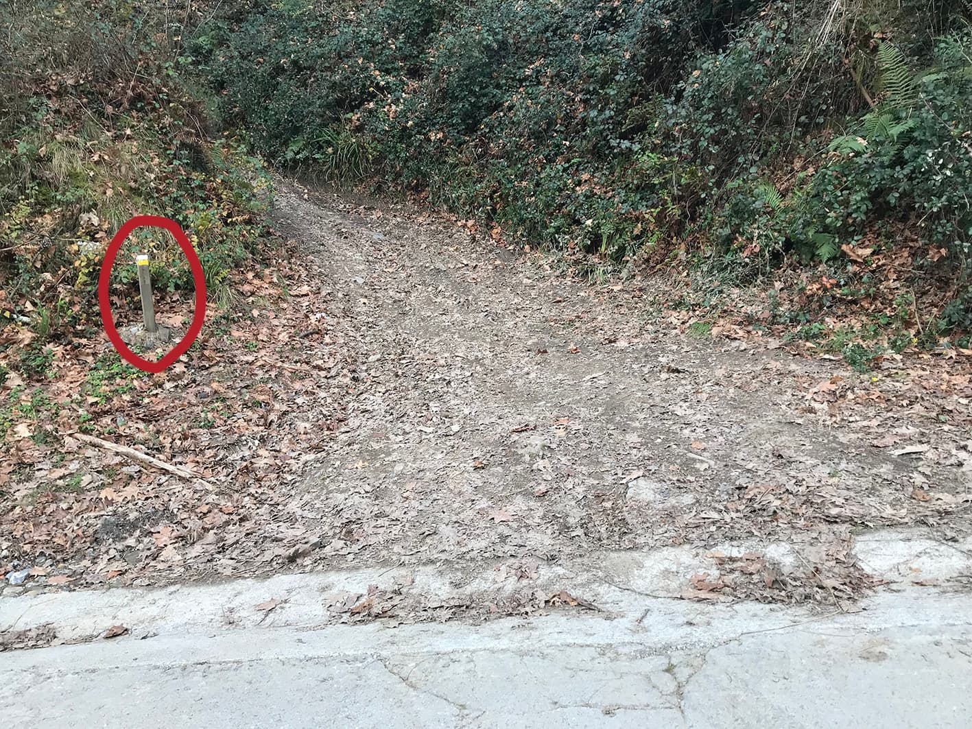
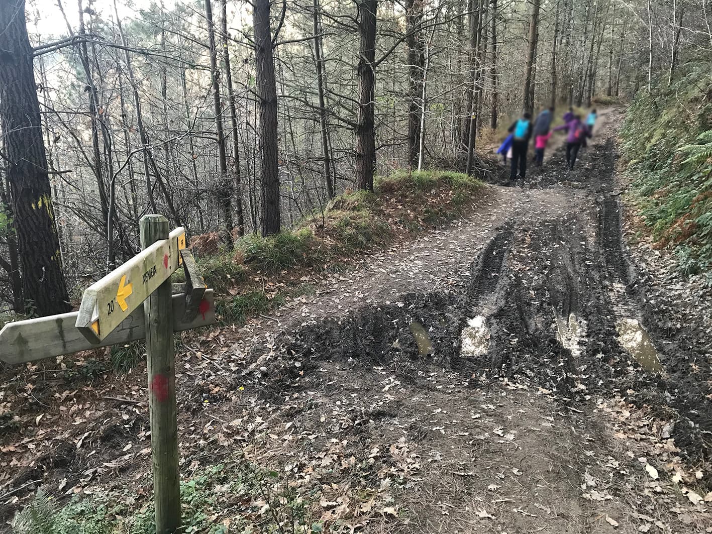
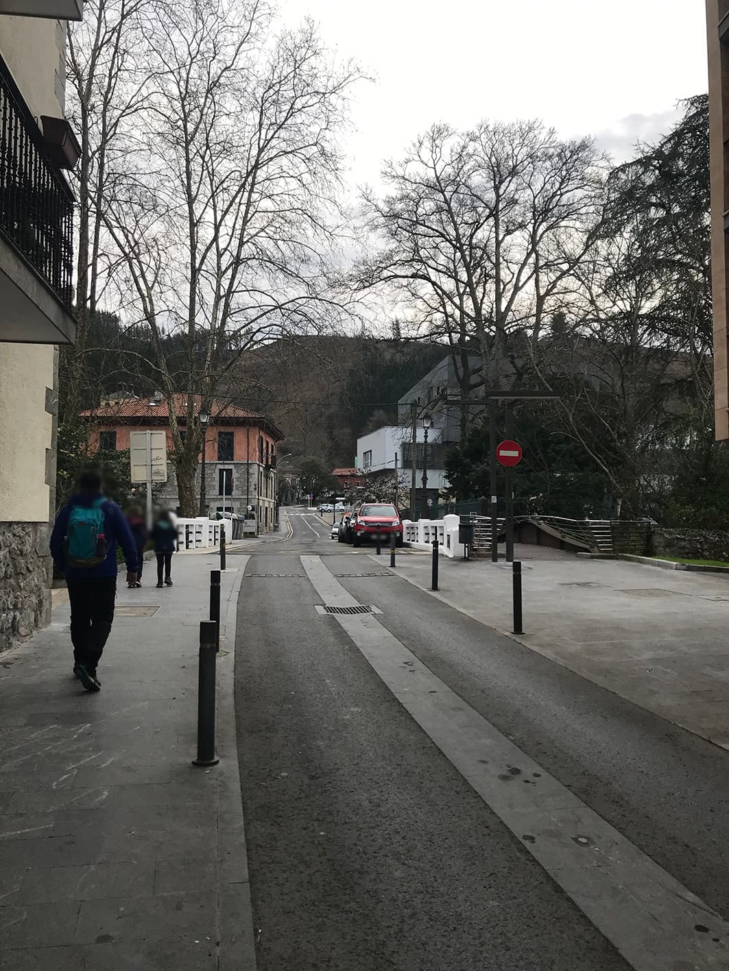
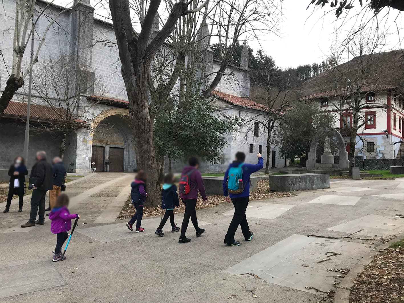
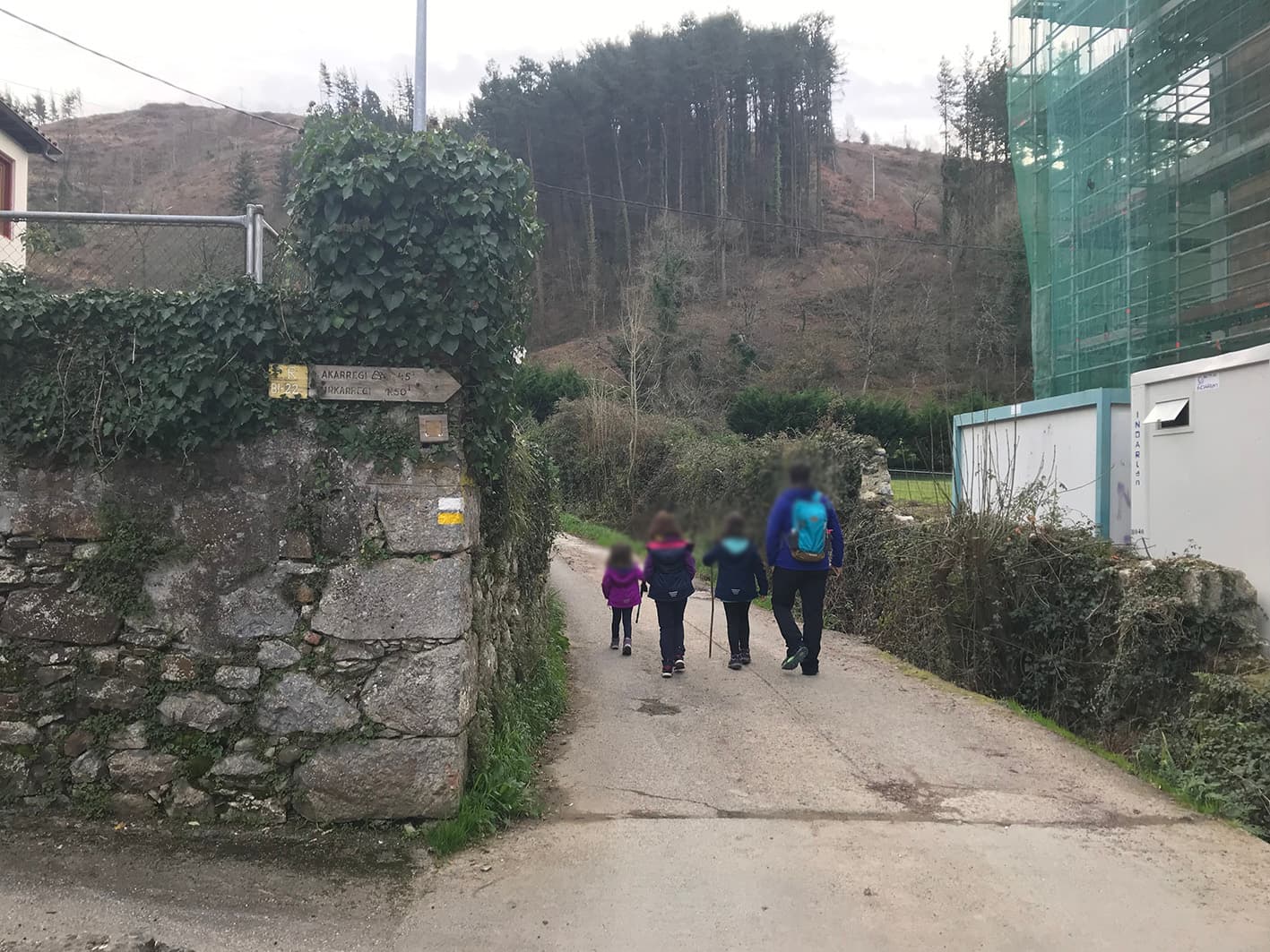
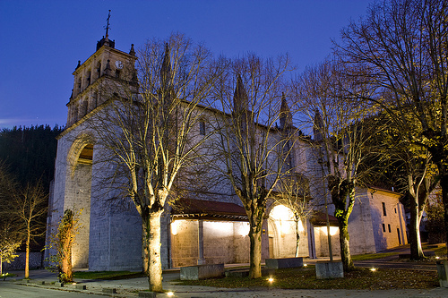
We set off from the centre of Markina-Xemein towards Xemein Church. We leave the church on our left and, on the right-hand side of the wall surrounding the abbey, we find the signpost and the path leading towards Mount Akarregi.

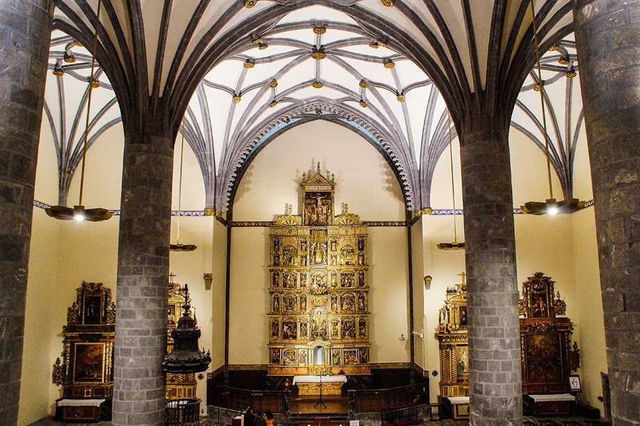
Xemein Church

Standing in isolation, this is the parish church shared by the town of Markina and the parish of Xemein. It was donated by the Lord of Bizkaia in 1355; following the resolution of a long-standing conflict with the Lords of Barroeta, the new church could finally be built. Dating from the first half of the 16th century, it was constructed in the ‘hall church’ style, featuring large buttresses and few windows. Its porch is of Gothic design. Designated a National Monument of the Basque Country, its vast interior houses a sumptuous Renaissance altarpiece, structured into a base, four storeys and an attic, with three main sections and four intermediate sections adorned with the characteristic ‘Roman-style’ decoration. In a niche lies the tomb of the Enlightenment figure Xabier Maria de Munibe.
6.22 km

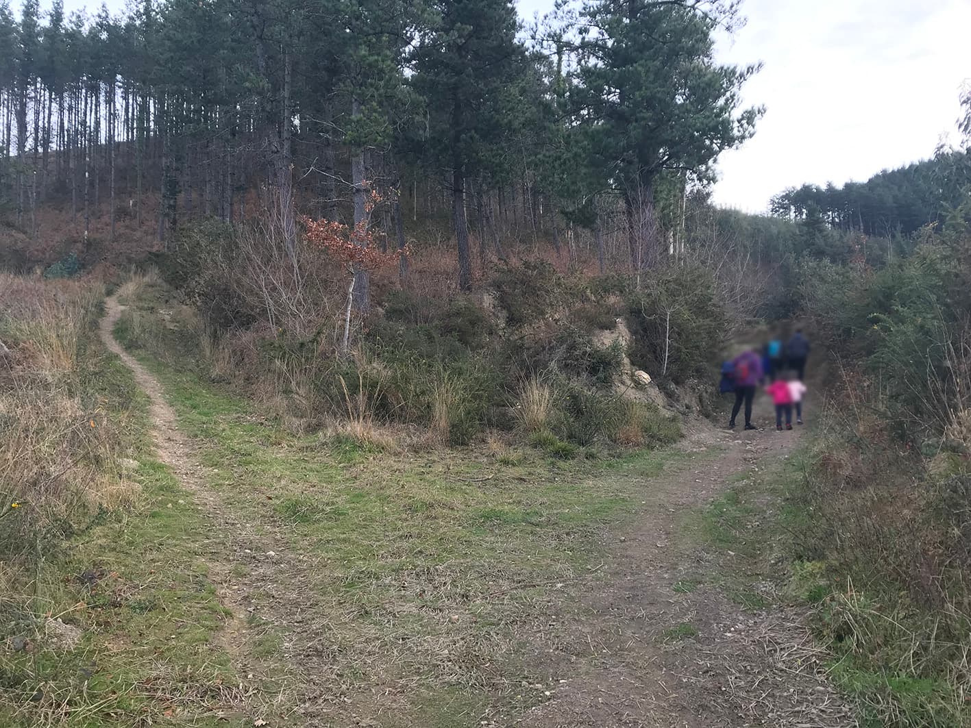
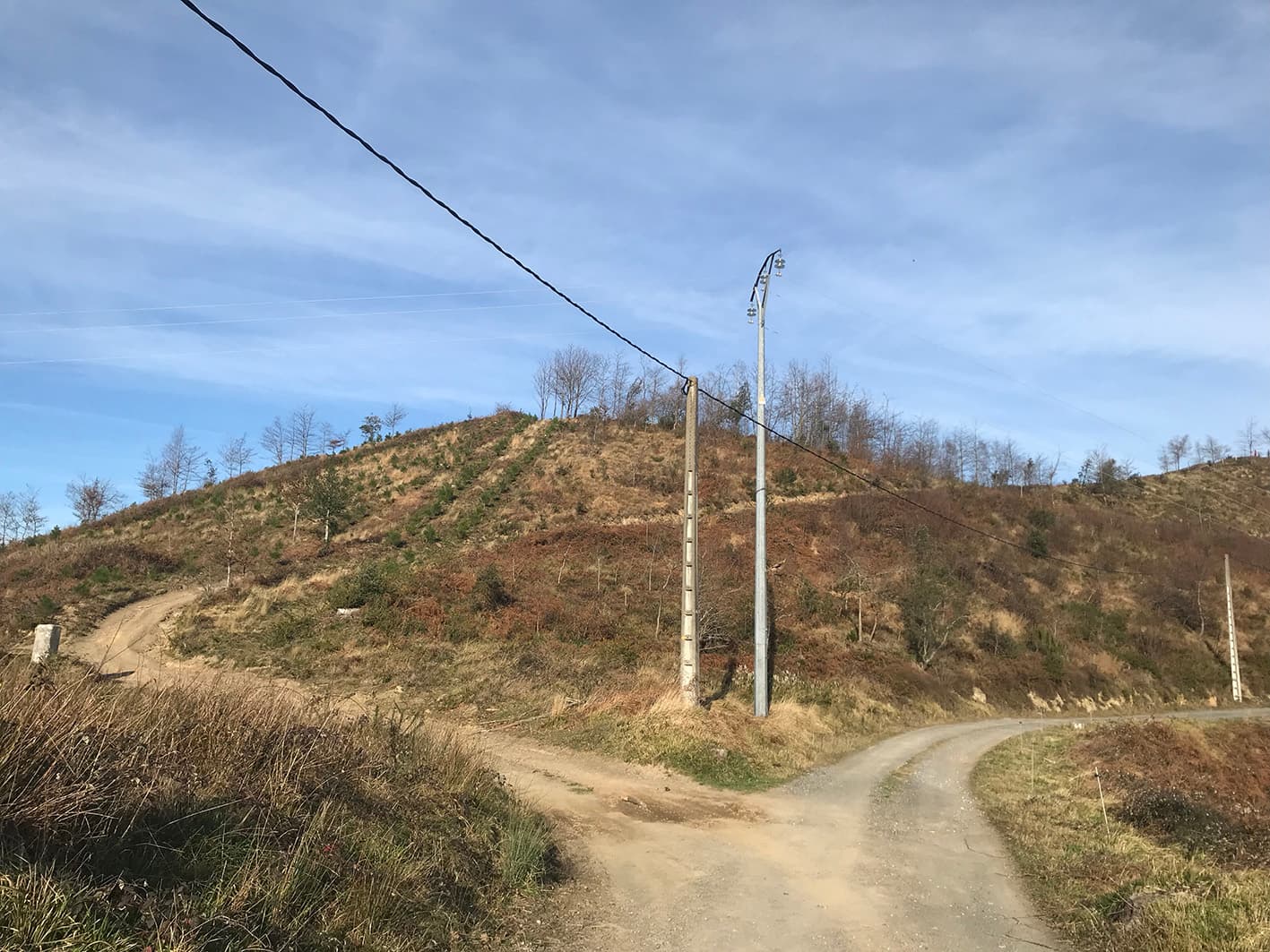
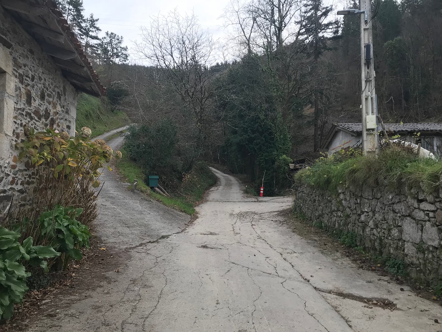
Junction

The route continues straight ahead.

5.93 km

Junction

The route continues to the left.

5.78 km

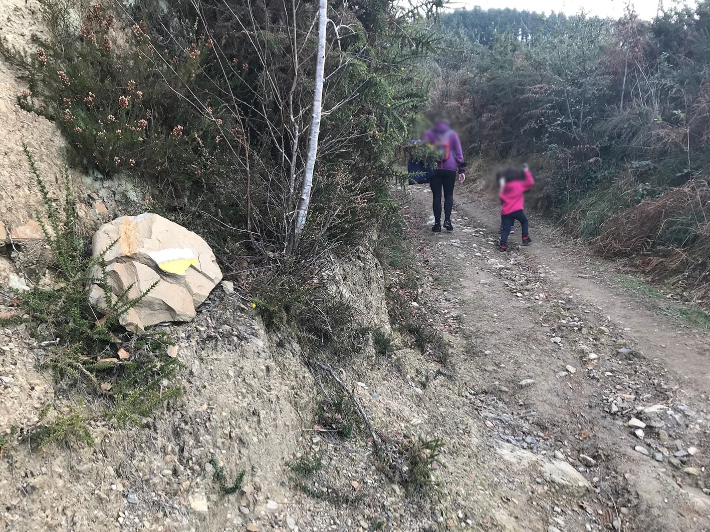
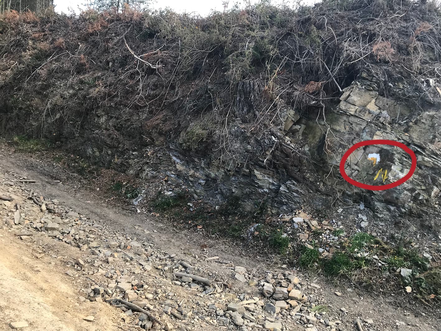
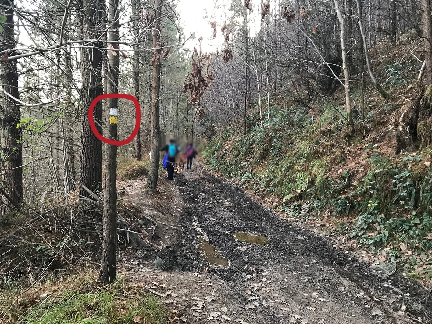
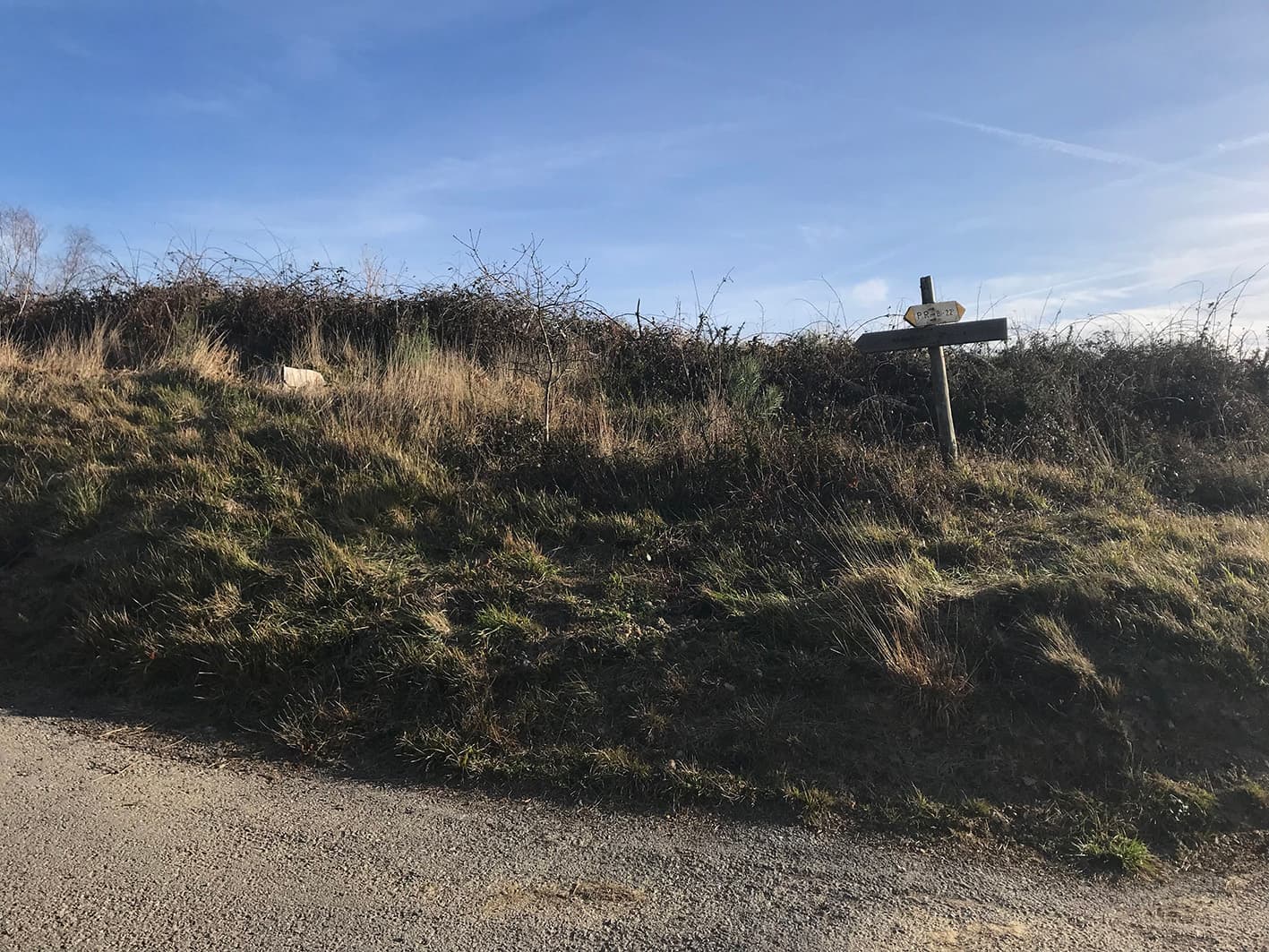
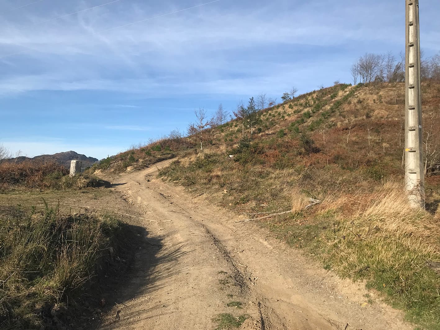
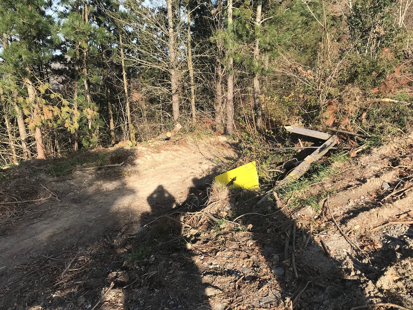
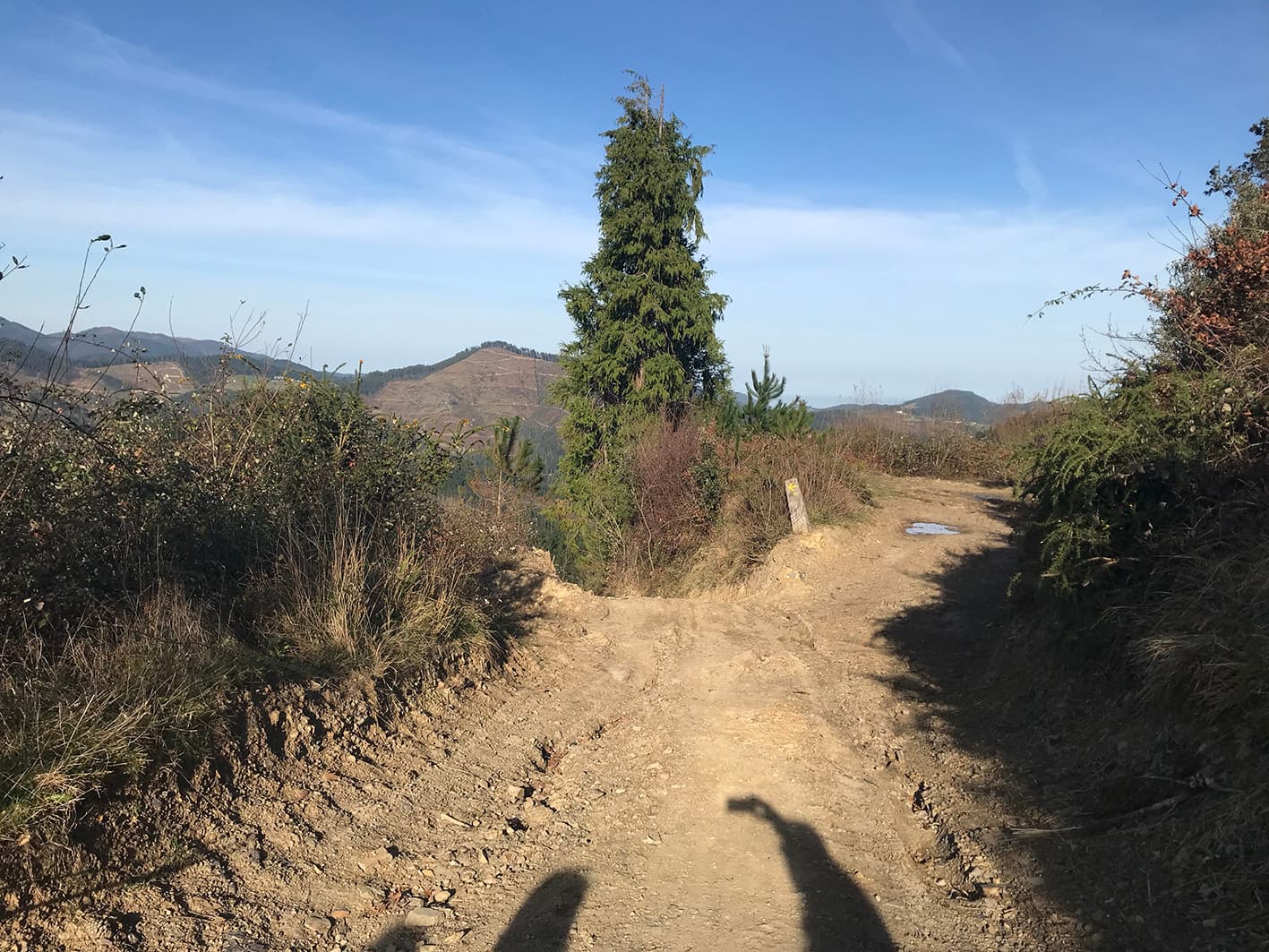
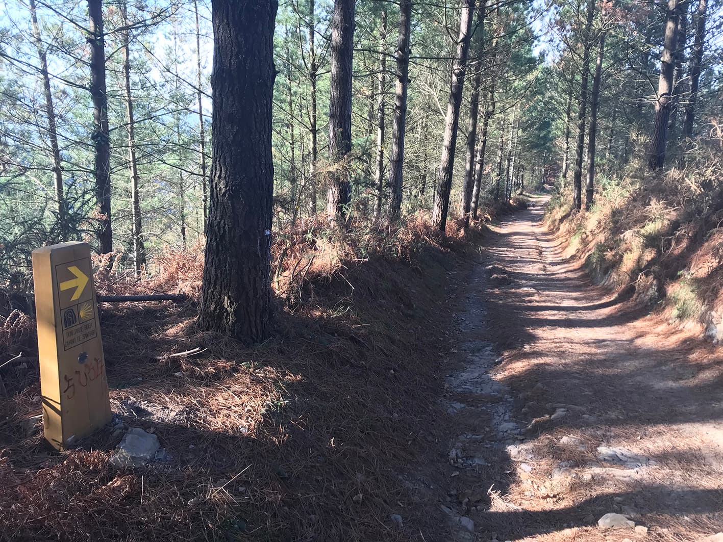
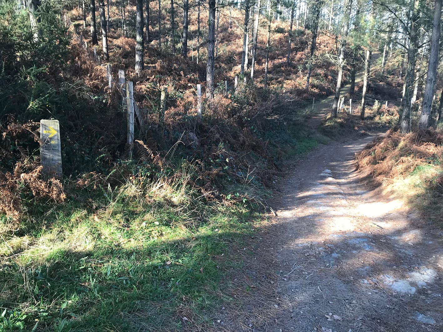
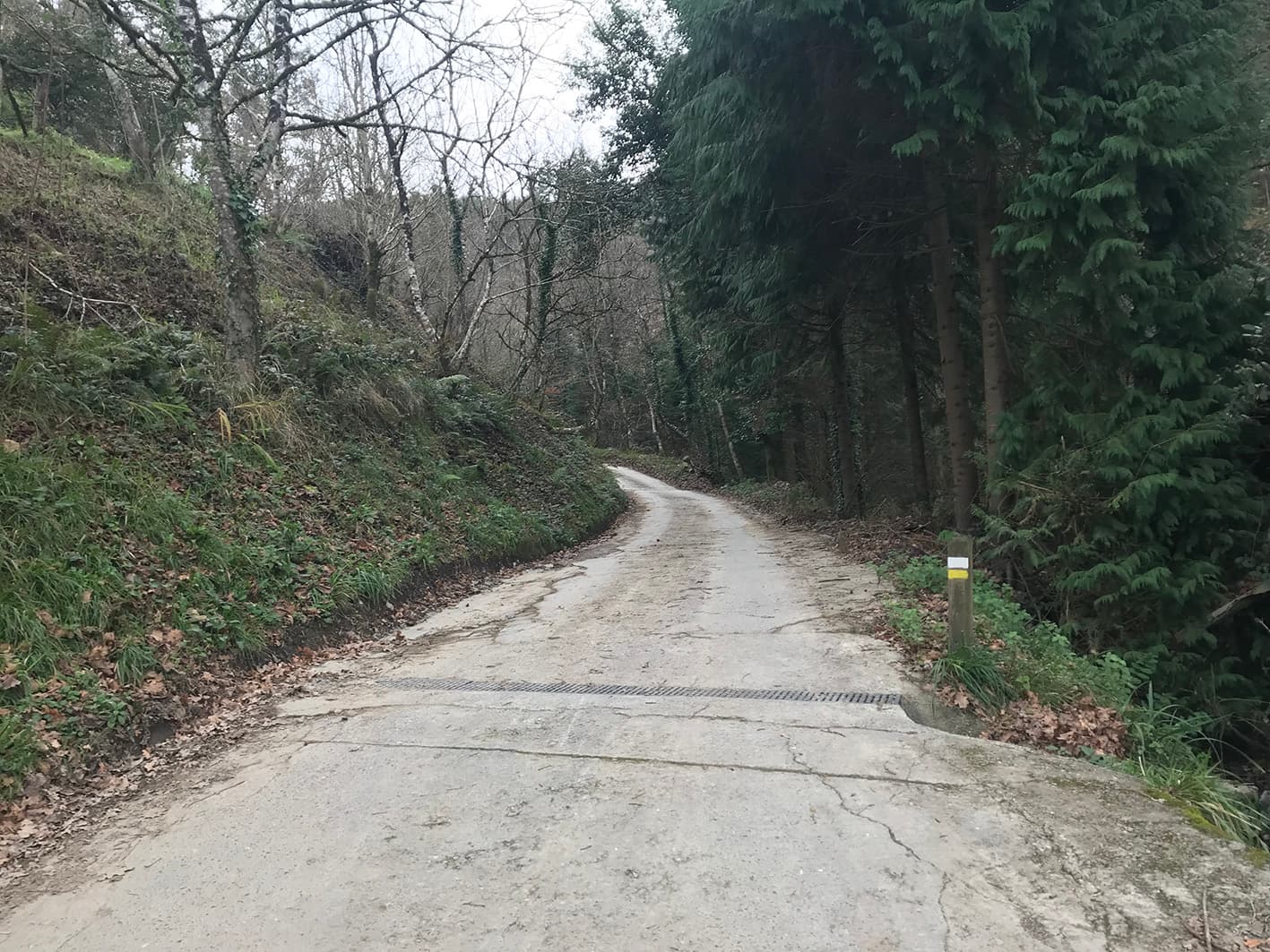
Route markers

Yellow and white.
5.66 km

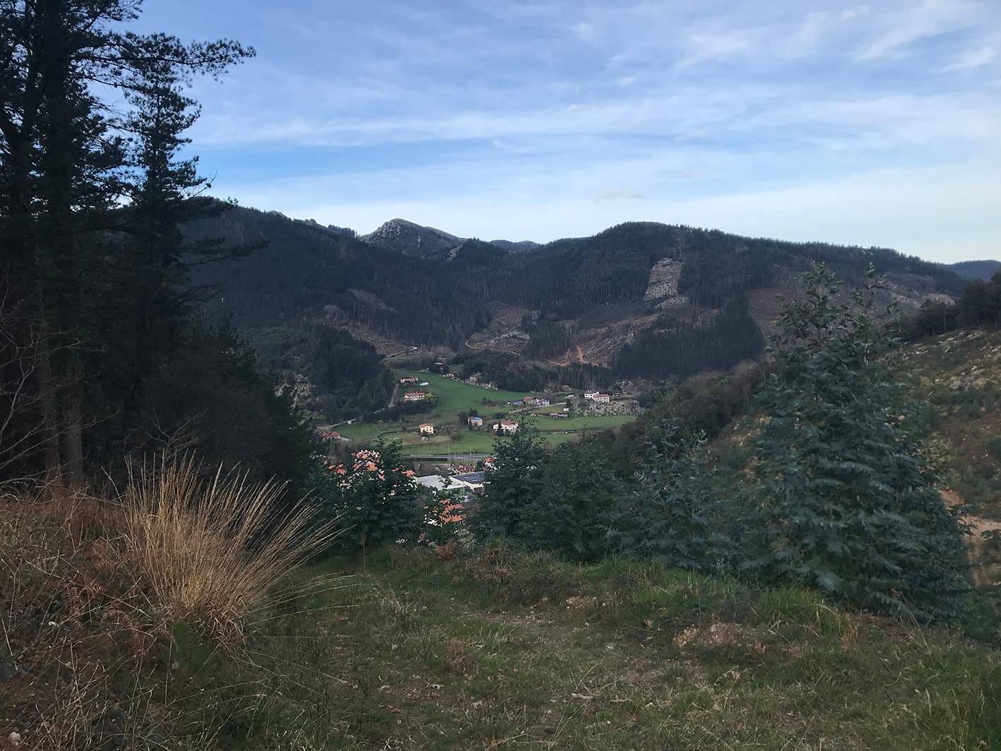
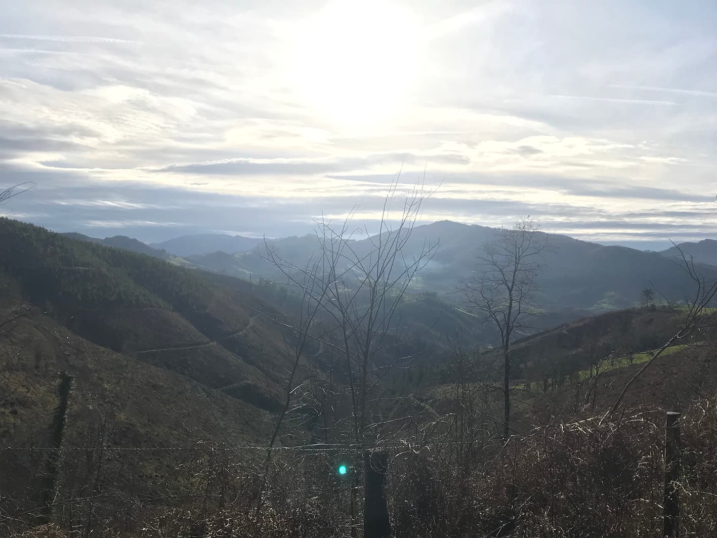
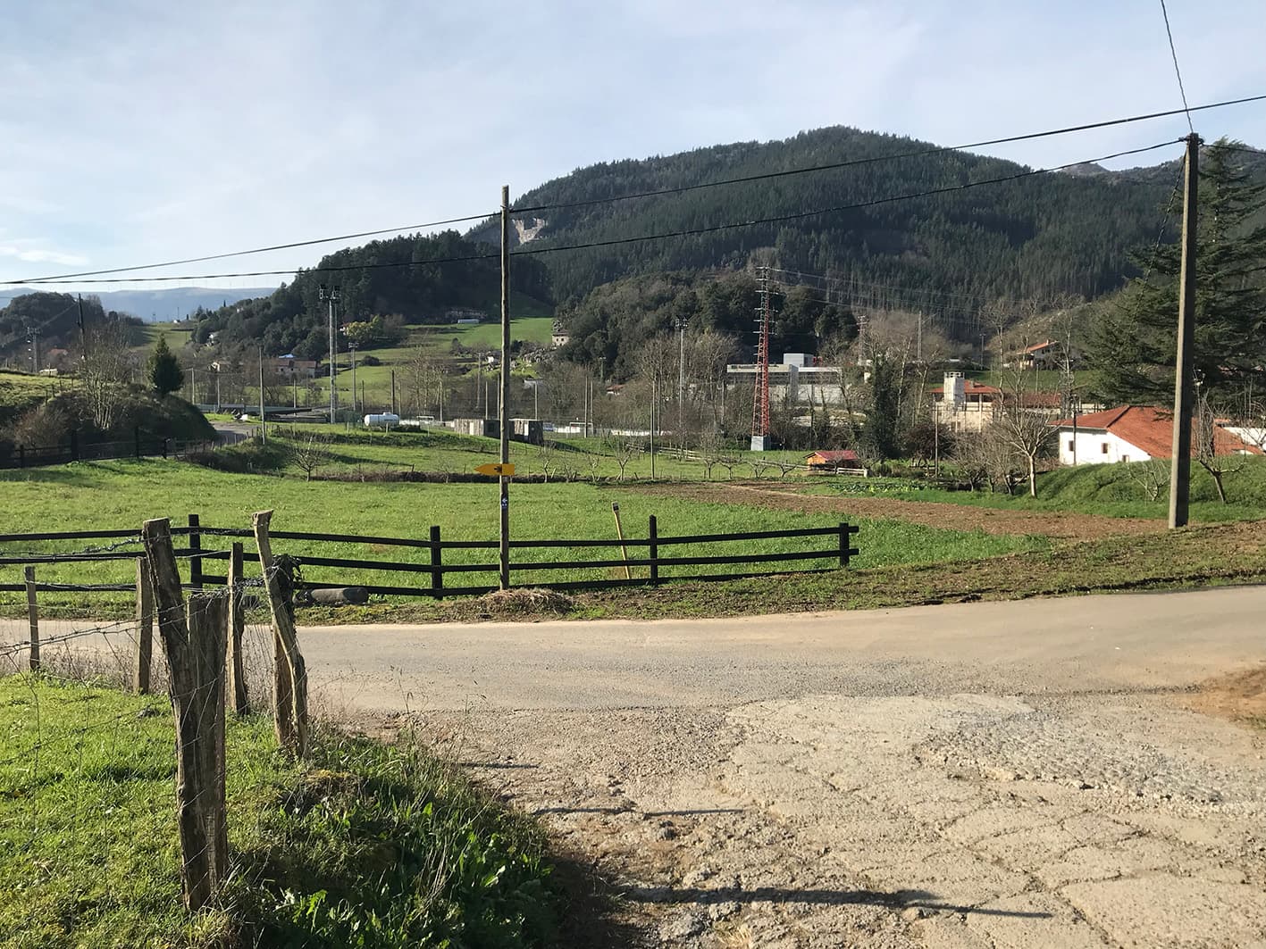
A stop to enjoy the views

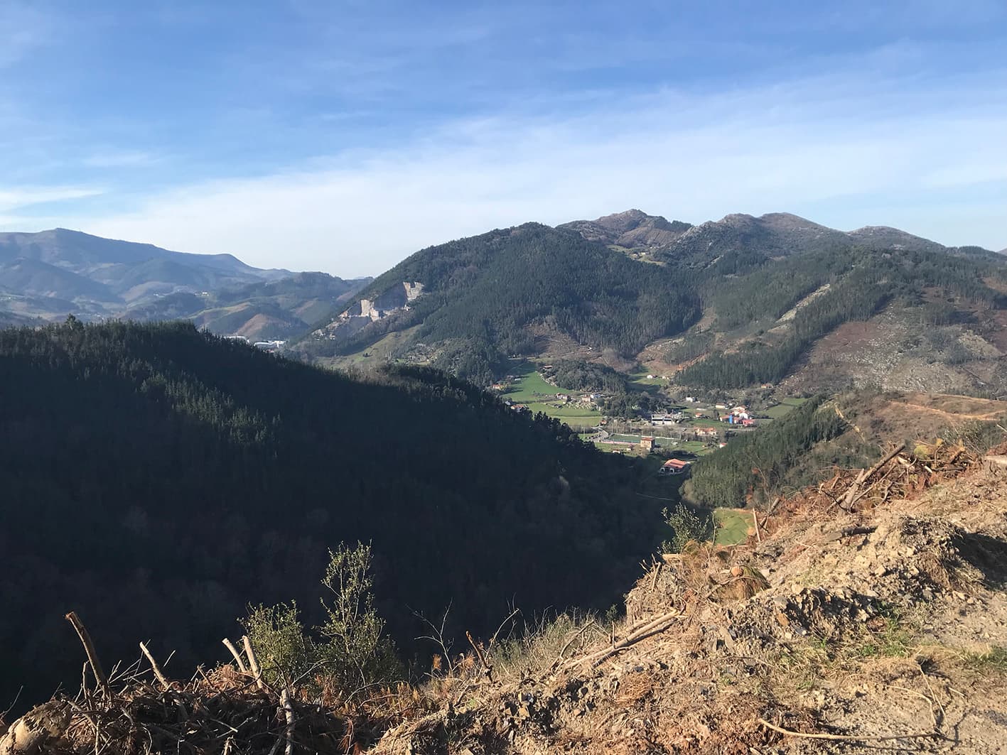
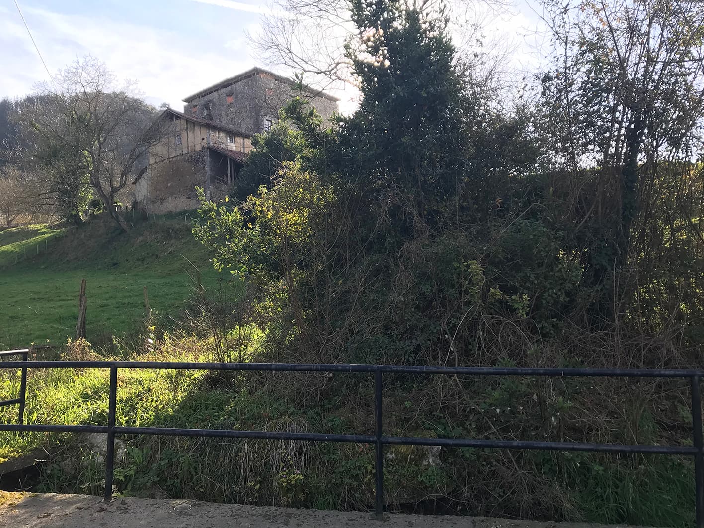
At this point on the route, on the left-hand side, we recommend stopping for a minute to take in the views of Markina-Xemein.
5.59 km

Junction

The route continues to the right.

5.47 km

Route markers

Yellow and white.

5.04 km

Junction

The route continues to the left.

4.66 km

Junction

The route continues straight ahead.

4.32 km

Views

3.84 km

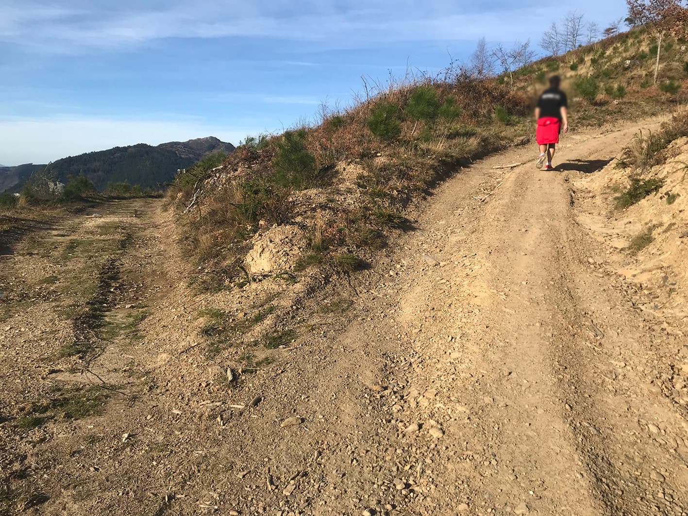
Towards the summit

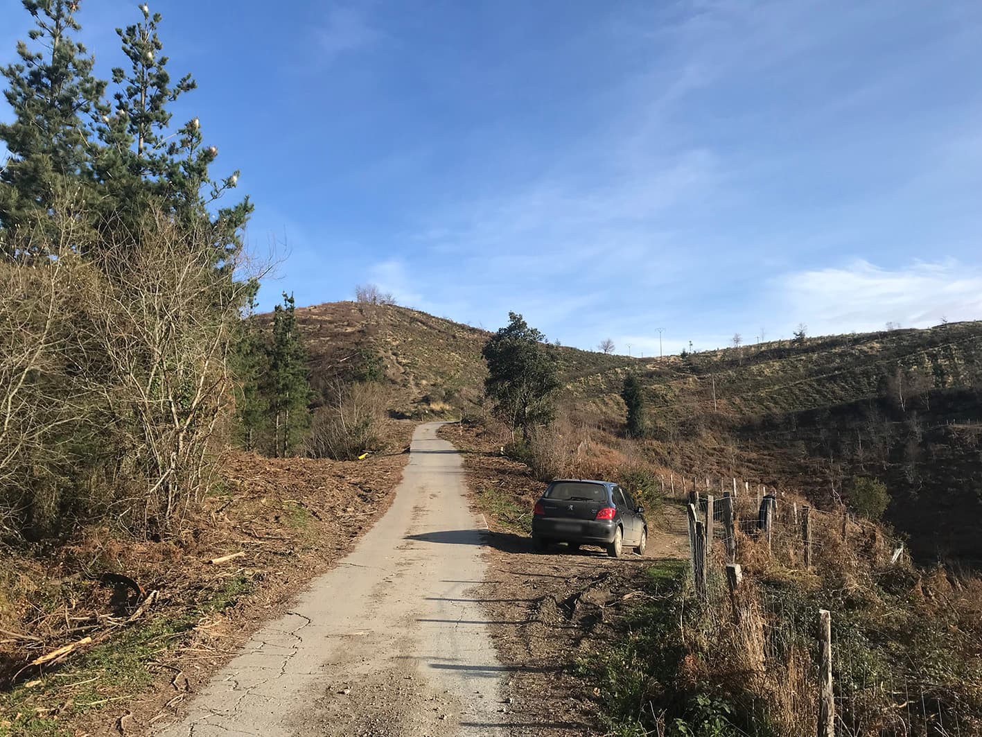
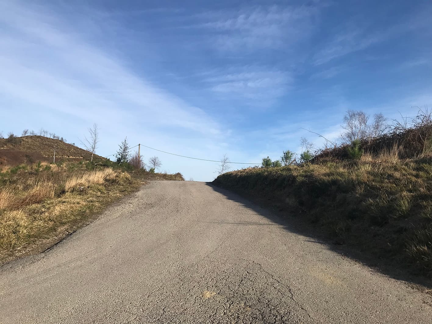
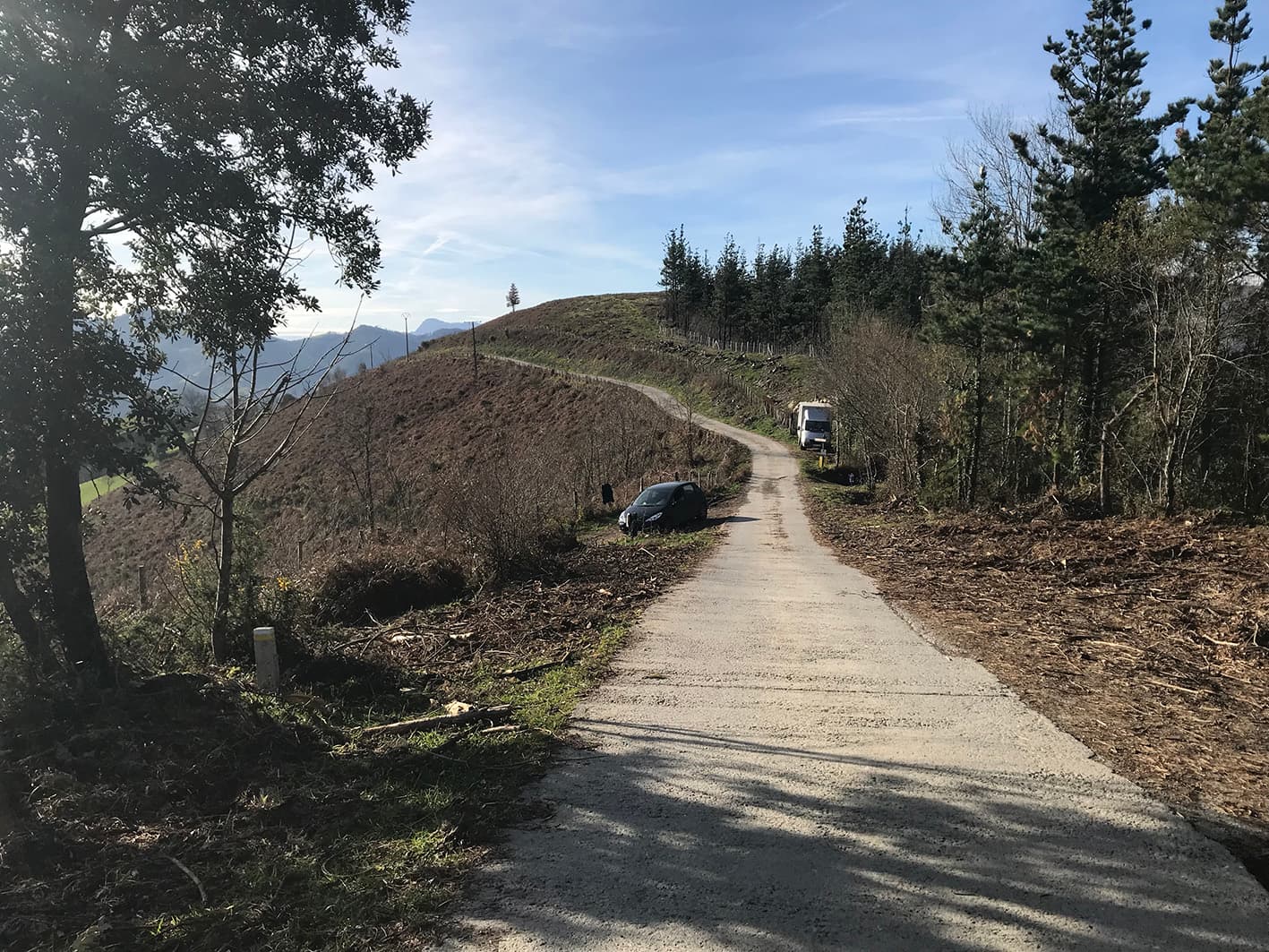
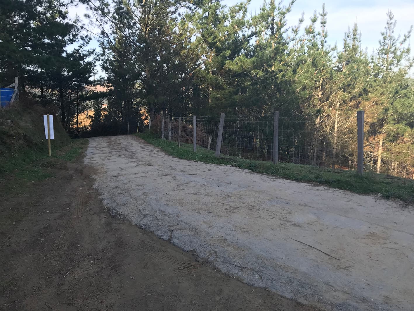
We leave the country lane and continue along the tarmac road towards the summit.

3.73 km

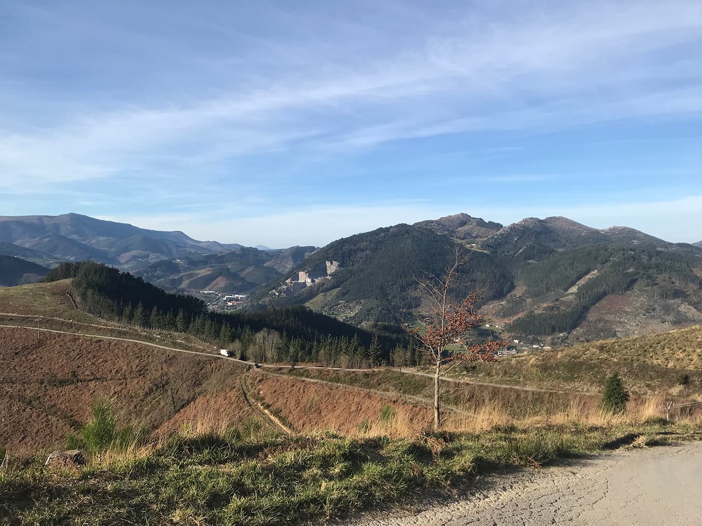
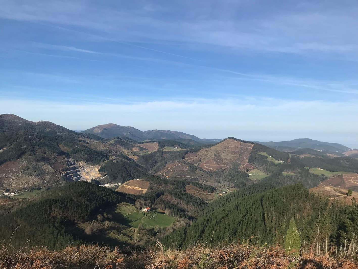
Views on the way to the summit

Just before reaching the summit, we are treated to some spectacular views.

3.73 km

Junction

The route continues to the left.

3.66 km

Akarregi Summit

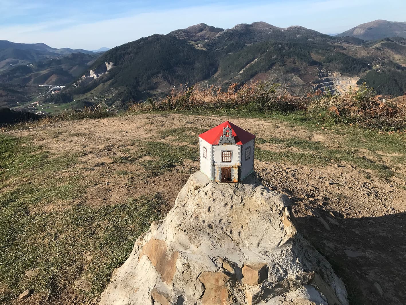
From the summit of Akarregi, we are treated to some beautiful views of Markina-Xemein and the surrounding area. At the summit, we also find a lovely postbox depicting the Arretxinaga chapel.

3.68 km

Descent

To begin the descent, we’ll walk down a short stretch along the same path we took on the way up. At this junction, we’ll leave the tarmac road and head to the right to reach Barroeta and Arretxinaga.

2.44 km

Views

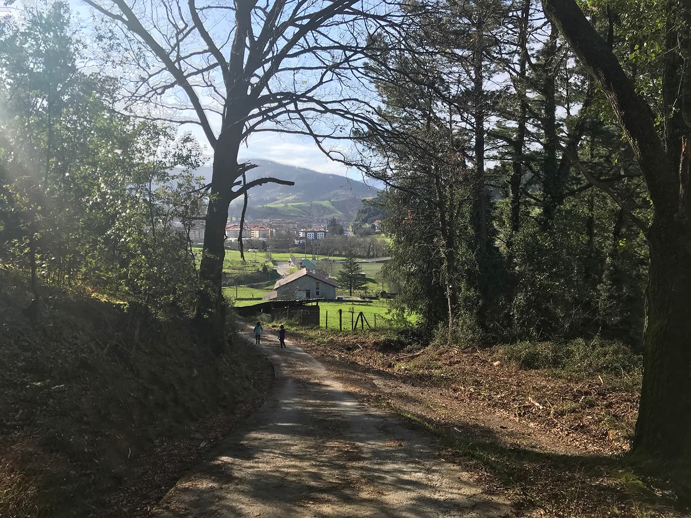
At this point, we are treated to views from which we can see the Barroeta tower and the football pitch.

2.06 km

Junction

The route continues to the left.

1.89 km

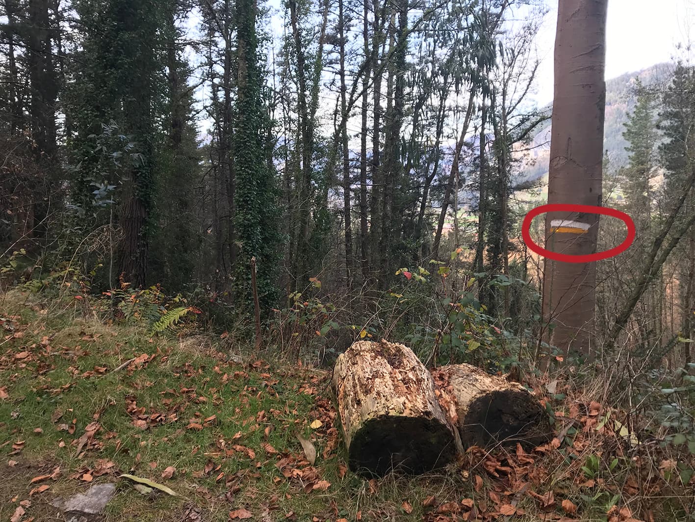
Route markers

This descent follows the Way of St James, and we come across signposts for this popular route.

1.73 km

Route markers

Way of St James.

1.63 km

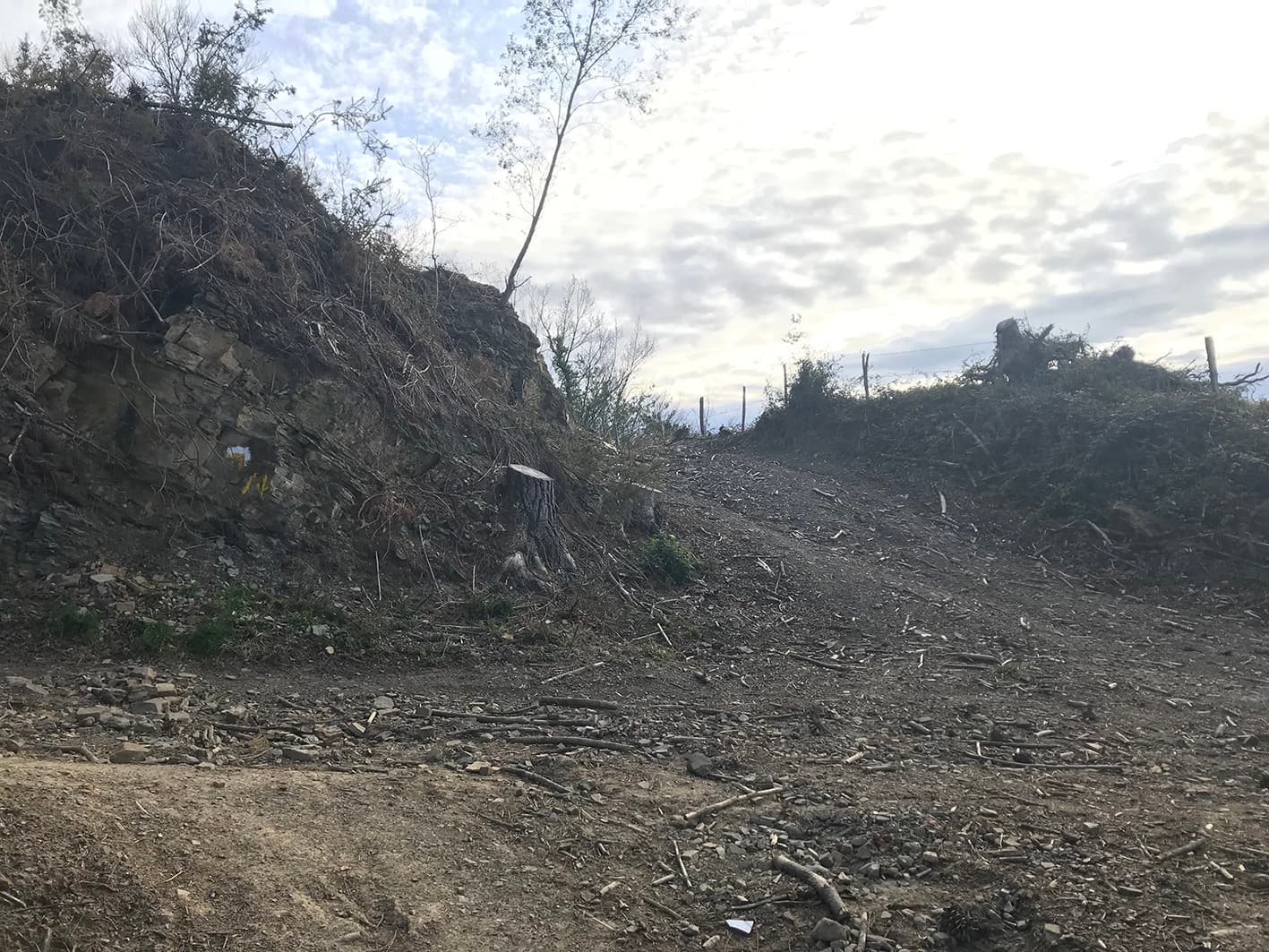
Junction

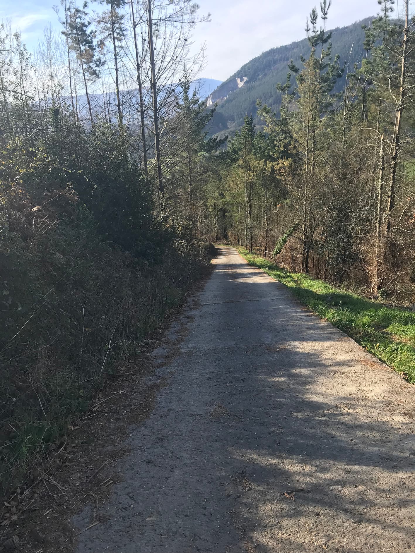
We leave the country lane behind and continue down this tarmac road.

1.54 km

Steep descent

Along this tarmac road, we’ll make a very steep descent.

0.83 km

Views

Just before reaching the end of the descent, we’ll see Barroeta straight ahead.

0.76 km

Barroeta

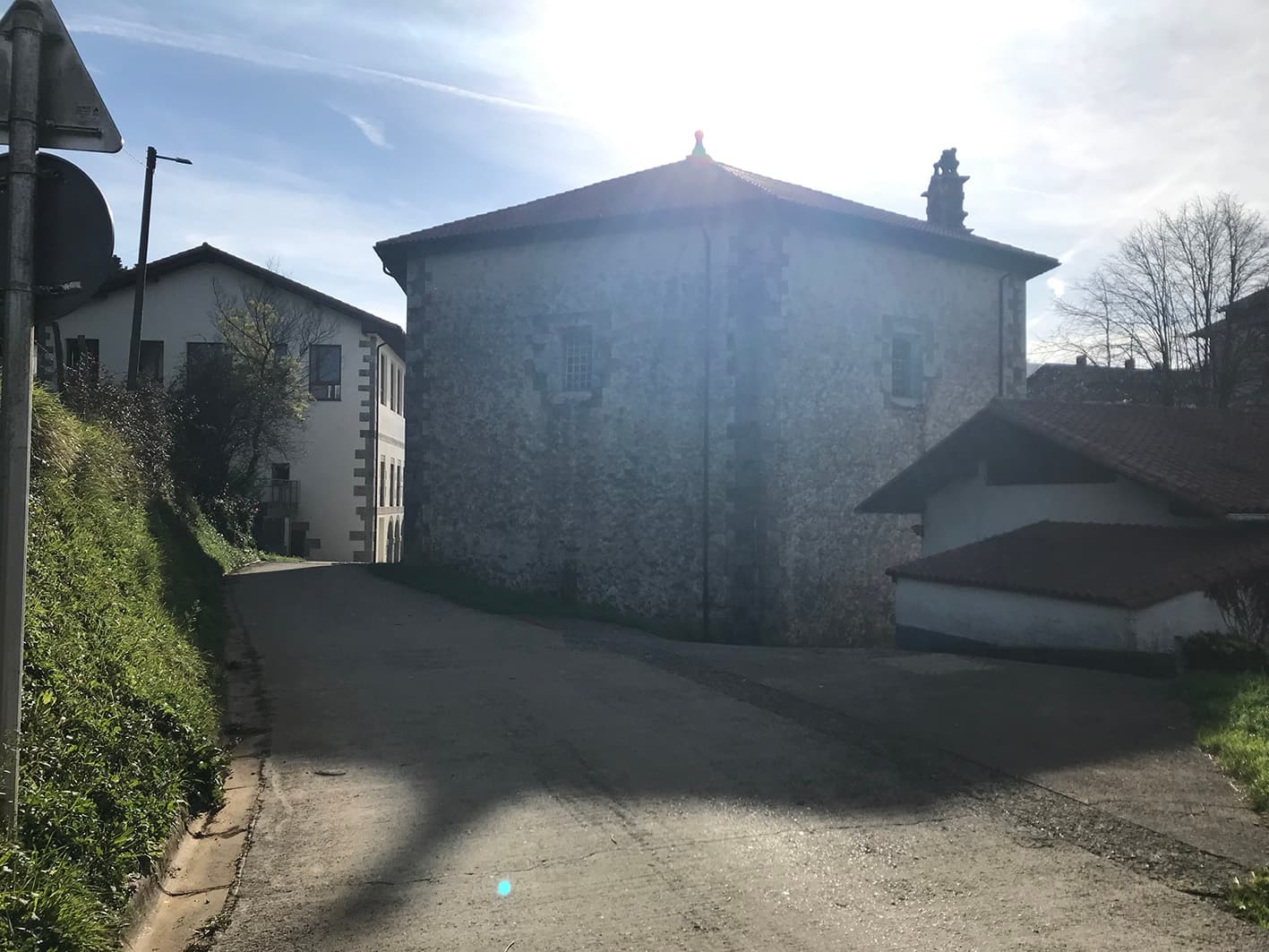
On reaching Barroeta, we turn left at the junction. At the top of the road, on the left-hand side, we can see the tower and chapel of Barroeta. On the other side lies the Barroeta football ground, home to Artibai Futbol Taldea.

6.94 km

Arretxinaga

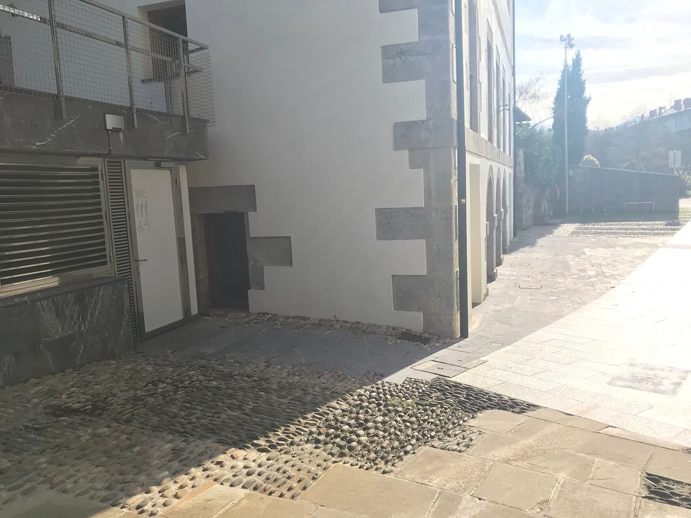
We continue along the road and arrive at Arretxinaga. At this special spot in Markina-Xemein, there are public toilets and a drinking fountain.

San Miguel de Arretxinaga Chapel

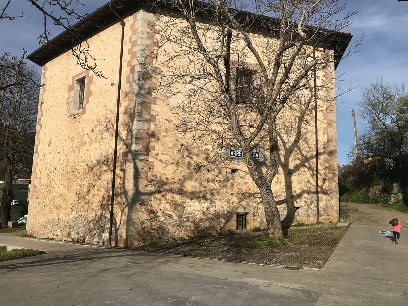
This complex comprising the chapel, town hall and square constitutes the only urban area in what was once the parish of Xemein. The chapel stands where the valley’s two rivers meet. Arretxinaga roughly translates as ‘place where the stones lie’, and its chapel is home to a striking geological formation of hydrothermal rocks. Amongst them, Saint Michael brandishes a spear against the dragon-demon. Its origins date back to the Early Middle Ages, and it was once home to hermits and freilas (nuns of a military order). The chapel visible today is a simple hexagonal structure, built in 1740 to house the large stones.


Bukaera
Gorde

Ibilbidearen zehaztasunak

Distance : 7.36 km
Duration : 1.5 hours
Elevation gain : 378 m
Elevation loss : 378 m
Technical difficulty : easy
Maximum altitude : 338 m
Minimum altitude : 29 m
Route type : circular
Markings : yellow and white